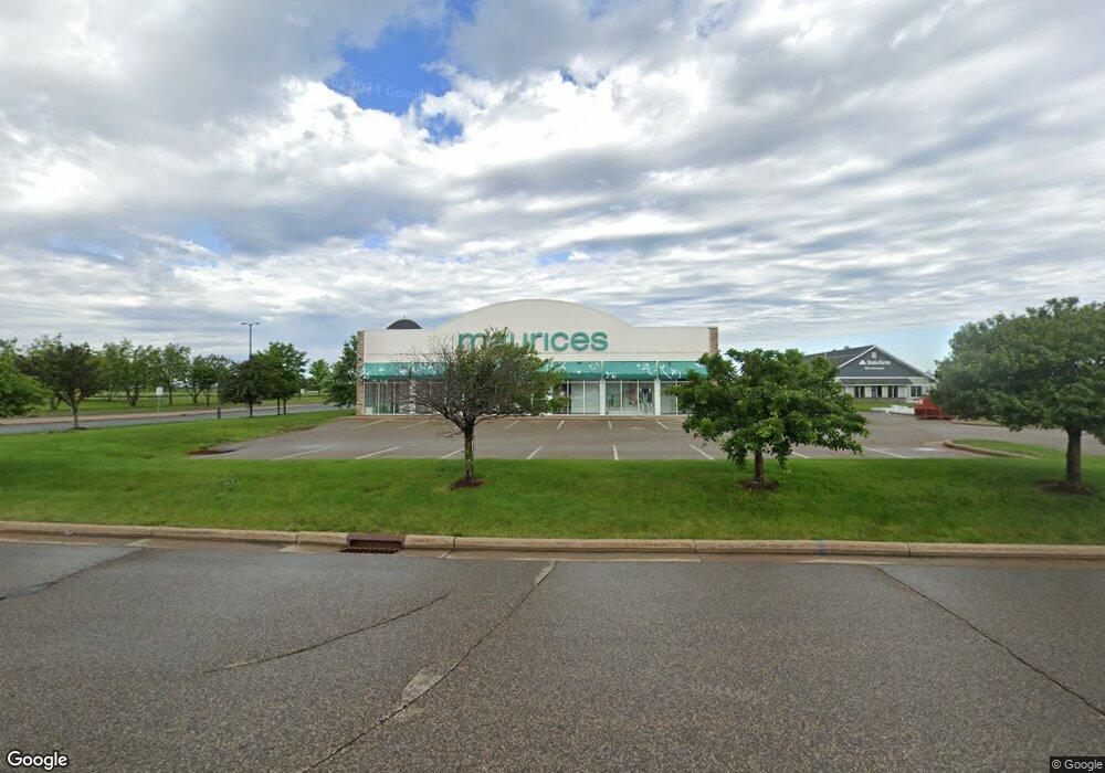
1495 Hamilton Ave New Richmond, WI 54017
Estimated Value: $1,517,347
--
Bed
--
Bath
--
Sq Ft
0.82
Acres
About This Home
This home is located at 1495 Hamilton Ave, New Richmond, WI 54017 and is currently estimated at $1,517,347. 1495 Hamilton Ave is a home with nearby schools including New Richmond High School and St. Mary School.
Ownership History
Date
Name
Owned For
Owner Type
Purchase Details
Closed on
Oct 14, 2010
Sold by
City Of New Richmond
Bought by
New Richmond Development Group Llc
Current Estimated Value
Home Financials for this Owner
Home Financials are based on the most recent Mortgage that was taken out on this home.
Original Mortgage
$50,690
Outstanding Balance
$33,365
Interest Rate
4.3%
Mortgage Type
Purchase Money Mortgage
Estimated Equity
$1,483,982
Create a Home Valuation Report for This Property
The Home Valuation Report is an in-depth analysis detailing your home's value as well as a comparison with similar homes in the area
Home Values in the Area
Average Home Value in this Area
Purchase History
| Date | Buyer | Sale Price | Title Company |
|---|---|---|---|
| New Richmond Development Group Llc | $200,000 | None Available |
Source: Public Records
Mortgage History
| Date | Status | Borrower | Loan Amount |
|---|---|---|---|
| Open | New Richmond Development Group Llc | $50,690 |
Source: Public Records
Tax History Compared to Growth
Tax History
| Year | Tax Paid | Tax Assessment Tax Assessment Total Assessment is a certain percentage of the fair market value that is determined by local assessors to be the total taxable value of land and additions on the property. | Land | Improvement |
|---|---|---|---|---|
| 2024 | $85 | $564,600 | $162,800 | $401,800 |
| 2023 | $8,975 | $564,600 | $162,800 | $401,800 |
| 2022 | $8,686 | $545,500 | $162,800 | $382,700 |
| 2021 | $11,028 | $545,500 | $162,800 | $382,700 |
| 2020 | $11,304 | $455,900 | $125,200 | $330,700 |
| 2019 | $10,725 | $455,900 | $125,200 | $330,700 |
| 2018 | $10,716 | $455,900 | $125,200 | $330,700 |
| 2017 | $10,345 | $455,900 | $125,200 | $330,700 |
| 2016 | $10,345 | $455,900 | $125,200 | $330,700 |
| 2015 | $10,484 | $455,900 | $125,200 | $330,700 |
| 2014 | $10,258 | $455,900 | $125,200 | $330,700 |
| 2013 | $9,324 | $423,500 | $125,200 | $298,300 |
Source: Public Records
Map
Nearby Homes
- 425 Paperjack Dr
- 524 Cassandra Dr Unit 44
- 572 Williamsburg Place
- 1575 Evan Ct
- 1208 Tierney Dr
- 1131 Alfred Place
- 1137 Sugar Pine Ln
- 1422 Creekwood Dr
- 1149 Sugar Pine Ln
- 1824 White Pine Way
- 1430 Creekwood Dr
- 1343 Creekwood Dr
- 619 Chestnut Dr
- 1272 Pheasant Run
- 1565 Ponderosa Ln
- 637 Maple Ct
- TBD Cattail Ln Unit Lot 7
- TBD Cattail Ln Unit Lot 8
- TBD Cattail Ln Unit Lot 9
- 1141 Pinewood Trail
- 1485 Hamilton Ave
- 1482 Saint Croix Ave
- 1482 St Croix Ave
- 1482 Saint Croix Ave Unit 2
- 1475 Hamilton Ave
- 124 Grant Way
- 250 Richmond Way
- 1351 N Knowles Ave
- 13XX Highway 65
- 14XX Highway 65
- 240 Paperjack Dr
- 1655 Dorset Ln
- 1639 Dorset Ln
- 1621 Dorset Ln Unit 3
- 1621 Dorset Ln Unit 1
- 1621 Dorset Ln Unit 2
- 1621 Dorset Ln
- 1705 Dorset Ln
- 1737 Dorset Ln
- xxx Doman Dr