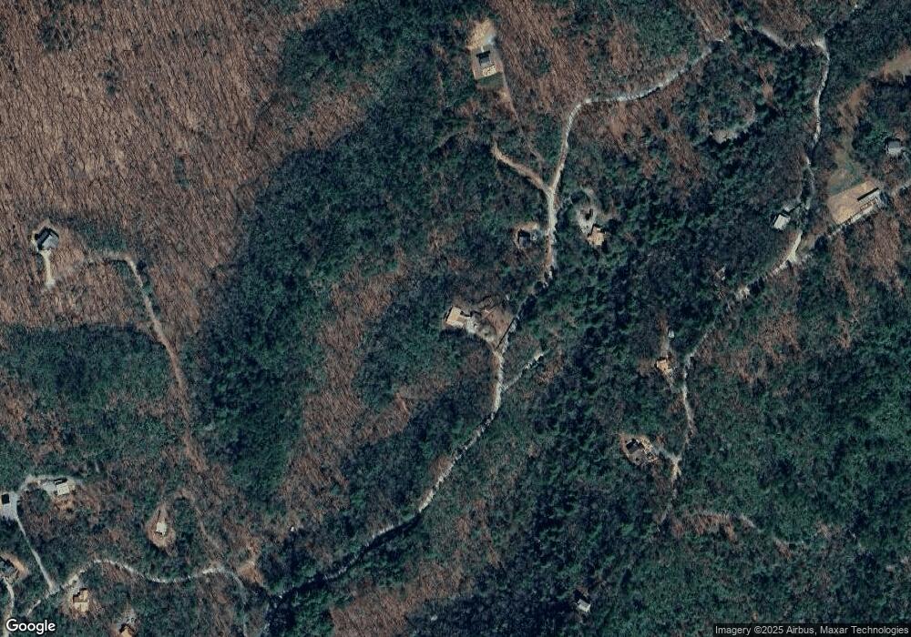
1495 Laurel Trail Ellijay, GA 30536
Estimated Value: $553,824 - $633,000
3
Beds
3
Baths
2,388
Sq Ft
$249/Sq Ft
Est. Value
About This Home
This home is located at 1495 Laurel Trail, Ellijay, GA 30536 and is currently estimated at $595,706, approximately $249 per square foot. 1495 Laurel Trail is a home located in Gilmer County with nearby schools including Ellijay Elementary School, Clear Creek Elementary School, and Gilmer Middle School.
Ownership History
Date
Name
Owned For
Owner Type
Purchase Details
Closed on
Mar 21, 2023
Sold by
Teague Rhonda D
Bought by
Drake Rhonda G
Current Estimated Value
Purchase Details
Closed on
Apr 20, 2006
Sold by
Andrews Robert L
Bought by
Drake Rhonda G
Home Financials for this Owner
Home Financials are based on the most recent Mortgage that was taken out on this home.
Original Mortgage
$258,000
Interest Rate
6.28%
Mortgage Type
New Conventional
Purchase Details
Closed on
Mar 6, 2001
Sold by
Andrews Robert L
Bought by
Andrews Robert L
Purchase Details
Closed on
Nov 1, 1995
Bought by
Andrews Robert L
Create a Home Valuation Report for This Property
The Home Valuation Report is an in-depth analysis detailing your home's value as well as a comparison with similar homes in the area
Home Values in the Area
Average Home Value in this Area
Purchase History
| Date | Buyer | Sale Price | Title Company |
|---|---|---|---|
| Drake Rhonda G | -- | -- | |
| Drake Rhonda G | $325,000 | -- | |
| Andrews Robert L | -- | -- | |
| Andrews Robert L | $50,000 | -- |
Source: Public Records
Mortgage History
| Date | Status | Borrower | Loan Amount |
|---|---|---|---|
| Previous Owner | Drake Rhonda G | $258,000 |
Source: Public Records
Tax History Compared to Growth
Tax History
| Year | Tax Paid | Tax Assessment Tax Assessment Total Assessment is a certain percentage of the fair market value that is determined by local assessors to be the total taxable value of land and additions on the property. | Land | Improvement |
|---|---|---|---|---|
| 2024 | $2,295 | $187,136 | $6,520 | $180,616 |
| 2023 | $2,371 | $187,136 | $6,520 | $180,616 |
| 2022 | $2,281 | $154,296 | $6,520 | $147,776 |
| 2021 | $1,930 | $102,896 | $5,800 | $97,096 |
| 2020 | $1,980 | $91,920 | $5,800 | $86,120 |
| 2019 | $2,039 | $91,920 | $5,800 | $86,120 |
| 2018 | $1,943 | $86,576 | $5,880 | $80,696 |
| 2017 | $1,629 | $68,092 | $5,880 | $62,212 |
| 2016 | $1,682 | $68,896 | $5,880 | $63,016 |
| 2015 | $1,728 | $72,008 | $9,080 | $62,928 |
| 2014 | $1,779 | $71,336 | $9,080 | $62,256 |
| 2013 | -- | $73,204 | $9,080 | $64,124 |
Source: Public Records
Map
Nearby Homes
- 1048 Laurel Trail
- 1055 Wolfpen Trail
- 9.6 ac Ralston Creek Trail
- 9547 Big Creek Rd
- 0 Nocona Trail
- 5.74 Hardslate Rd
- 989 New Liberty Rd
- 29 AC Hidden Valley Dr
- 29 Hidden Valley Dr
- 325 Prospectors Pass
- 71 Hidden Valley Dr S
- 1055 New Liberty Trail
- 14 AC Rainbow Ridge Dr
- 384 Mountain Laurel Dr Unit 14-15
- 384 Mountain Laurel Dr
- 1250 Lost Forest Rd
- 28.82 Mt McGurder Rd
- 1597 Laurel Trail
- 1468 Laurel Trail
- 1612 Laurel Trail
- 96 Laurel Top Ridge
- 140 Laurel Trail
- 140 Laurel Trail Unit 140
- 0 Laurel Top Ridge Unit 4006235
- 0 Laurel Top Ridge Unit 8757535
- 0 Laurel Top Ridge Unit 8589947
- 156 Laurel Top Ridge
- 1611 Laurel Trail
- 44 Laurel Top Ridge
- 00 Laurel Top Ridge
- 01 Laurel Top Ridge
- 260 Laurel Top Ridge
- 1784 Laurel Trail
- 1986 Laurel Trail
- 0 Laurel Trail Unit 6973500
- 0 Laurel Trail Unit 6993251
- 0 Laurel Trail Unit 8576437
