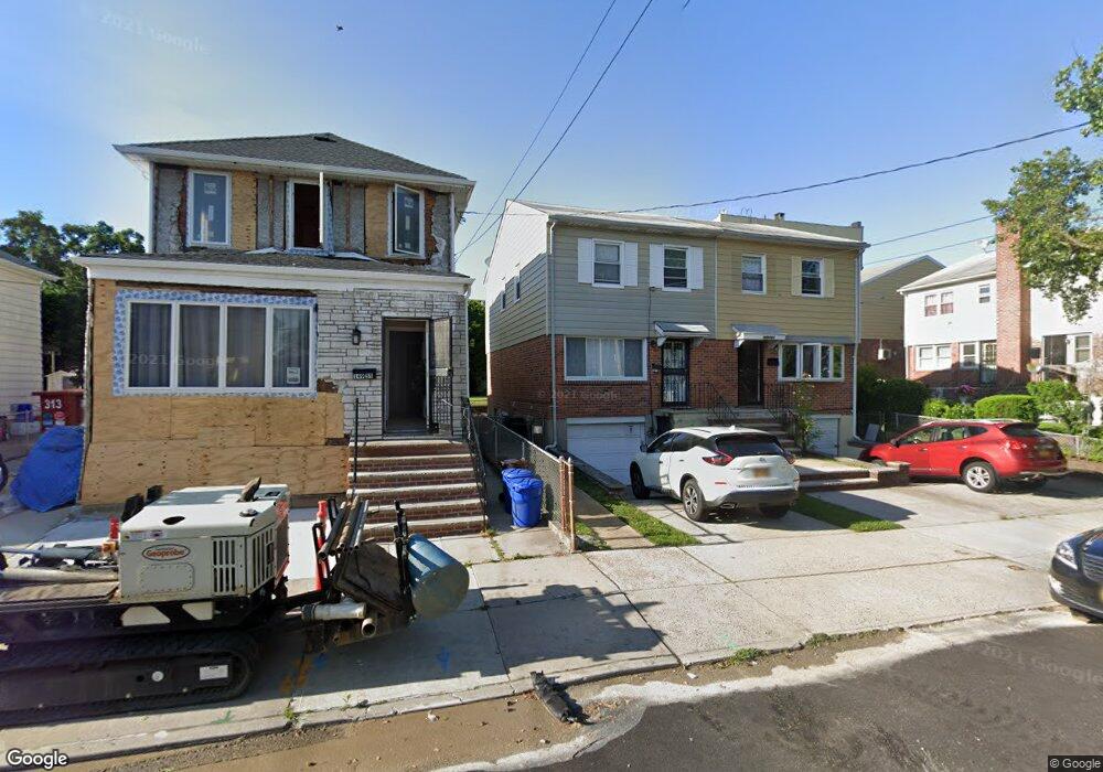
14959 15th Rd Whitestone, NY 11357
Whitestone NeighborhoodEstimated Value: $855,990 - $994,000
Studio
--
Bath
1,260
Sq Ft
$751/Sq Ft
Est. Value
About This Home
This home is located at 14959 15th Rd, Whitestone, NY 11357 and is currently estimated at $945,748, approximately $750 per square foot. 14959 15th Rd is a home located in Queens County with nearby schools including P.S. 79 - Francis Lewis, J.H.S. 194 William Carr, and Flushing High School.
Ownership History
Date
Name
Owned For
Owner Type
Purchase Details
Closed on
Sep 16, 2022
Sold by
Dong Mei Ling
Bought by
5915 Road Llc
Current Estimated Value
Purchase Details
Closed on
Feb 23, 2009
Sold by
Kuehnle Elisabeth and Kuhnle Elisabeth
Bought by
Dong Mei Ling
Home Financials for this Owner
Home Financials are based on the most recent Mortgage that was taken out on this home.
Original Mortgage
$399,000
Interest Rate
5.14%
Mortgage Type
Purchase Money Mortgage
Create a Home Valuation Report for This Property
The Home Valuation Report is an in-depth analysis detailing your home's value as well as a comparison with similar homes in the area
Home Values in the Area
Average Home Value in this Area
Purchase History
| Date | Buyer | Sale Price | Title Company |
|---|---|---|---|
| 5915 Road Llc | -- | -- | |
| Dong Mei Ling | $499,000 | -- |
Source: Public Records
Mortgage History
| Date | Status | Borrower | Loan Amount |
|---|---|---|---|
| Previous Owner | Dong Mei Ling | $399,000 |
Source: Public Records
Tax History
| Year | Tax Paid | Tax Assessment Tax Assessment Total Assessment is a certain percentage of the fair market value that is determined by local assessors to be the total taxable value of land and additions on the property. | Land | Improvement |
|---|---|---|---|---|
| 2025 | $4,998 | $26,375 | $5,807 | $20,568 |
| 2024 | $4,998 | $24,883 | $5,710 | $19,173 |
| 2023 | $5,054 | $24,883 | $4,852 | $20,031 |
| 2022 | $4,930 | $54,300 | $10,740 | $43,560 |
| 2021 | $4,903 | $50,700 | $10,740 | $39,960 |
| 2020 | $4,652 | $47,880 | $10,740 | $37,140 |
| 2019 | $4,338 | $48,060 | $10,740 | $37,320 |
| 2018 | $4,227 | $20,736 | $5,098 | $15,638 |
| 2017 | $4,195 | $20,578 | $5,346 | $15,232 |
| 2016 | $3,881 | $20,578 | $5,346 | $15,232 |
| 2015 | $2,341 | $18,316 | $5,832 | $12,484 |
| 2014 | $2,341 | $17,280 | $6,600 | $10,680 |
Source: Public Records
Map
Nearby Homes
- 14940 15th Dr
- 1527 149th St
- 1535 149th St
- 150-27 16th Rd
- 150-29 16th Rd
- 149-16 14th Ave
- 1620 150th St
- 15-27 159 Street 159 St Unit 619
- 162 20 9 Ave Unit 6C
- 150-78 15th Dr
- 15040 16th Rd
- 16-11 149th St
- 150-55 14th Rd
- 149-20 17th Ave
- 15-59 150th Place
- 150-18 12th Rd
- 14712 15th Dr
- 151-05 Cross Island Pkwy Unit 1-D
- 151-05 Cross Island Pkwy Unit 3E
- 151-05 Cross Island Pkwy Unit 6C
- 14961 15th Rd
- 14955 15th Rd
- 14955 15th Rd Unit 2 Fl
- 149-55 15th Rd Unit 2 Fl
- 149-55 15th Rd
- 14949 15th Rd
- 149-49 15th Rd Unit 2 Fl
- 149-49 15th Rd
- 14949 15th Rd
- 149-49 15th Rd Unit 1Fl
- 1518 150th St
- 1514 150th St
- 1518 150th St
- 1520 150th St
- 1512 150th St
- 15-14 150th St
- 14952 Cross Island Pkwy
- 14958 Cross Island Pkwy
- 14958 Cross Island Pkwy
- 14958 Cross Island Pkwy
Your Personal Tour Guide
Ask me questions while you tour the home.