1496 Acadia Hwy Orland, ME 04472
Estimated Value: $91,000 - $403,000
1
Bed
--
Bath
1,320
Sq Ft
$209/Sq Ft
Est. Value
About This Home
This home is located at 1496 Acadia Hwy, Orland, ME 04472 and is currently estimated at $275,333, approximately $208 per square foot. 1496 Acadia Hwy is a home located in Hancock County with nearby schools including G. Herbert Jewett School, Miles Lane School, and Bucksport Middle School.
Ownership History
Date
Name
Owned For
Owner Type
Purchase Details
Closed on
Dec 28, 2018
Sold by
Gray Diane D Est
Bought by
Siverly Gunner R
Current Estimated Value
Purchase Details
Closed on
Sep 7, 2017
Sold by
Gray Diane Est
Bought by
Siverly Gunner
Home Financials for this Owner
Home Financials are based on the most recent Mortgage that was taken out on this home.
Original Mortgage
$53,000
Interest Rate
3.92%
Mortgage Type
Commercial
Purchase Details
Closed on
Feb 13, 2014
Sold by
Gray Diane D
Bought by
Gray Diane D
Create a Home Valuation Report for This Property
The Home Valuation Report is an in-depth analysis detailing your home's value as well as a comparison with similar homes in the area
Home Values in the Area
Average Home Value in this Area
Purchase History
| Date | Buyer | Sale Price | Title Company |
|---|---|---|---|
| Siverly Gunner R | -- | -- | |
| Siverly Gunner | -- | -- | |
| Gray Diane D | -- | -- |
Source: Public Records
Mortgage History
| Date | Status | Borrower | Loan Amount |
|---|---|---|---|
| Previous Owner | Siverly Gunner | $53,000 |
Source: Public Records
Tax History Compared to Growth
Tax History
| Year | Tax Paid | Tax Assessment Tax Assessment Total Assessment is a certain percentage of the fair market value that is determined by local assessors to be the total taxable value of land and additions on the property. | Land | Improvement |
|---|---|---|---|---|
| 2024 | $306 | $25,150 | $25,150 | $0 |
| 2023 | $296 | $25,150 | $25,150 | $0 |
| 2022 | $246 | $25,150 | $25,150 | $0 |
| 2021 | $267 | $17,470 | $17,470 | $0 |
| 2020 | $267 | $17,470 | $17,470 | $0 |
| 2019 | $271 | $17,470 | $17,470 | $0 |
| 2018 | $257 | $17,470 | $17,470 | $0 |
| 2017 | $244 | $17,470 | $17,470 | $0 |
| 2016 | $1,282 | $93,570 | $24,970 | $68,600 |
| 2015 | $1,282 | $93,570 | $24,970 | $68,600 |
| 2014 | $1,329 | $93,570 | $24,970 | $68,600 |
| 2013 | $1,345 | $94,720 | $26,120 | $68,600 |
Source: Public Records
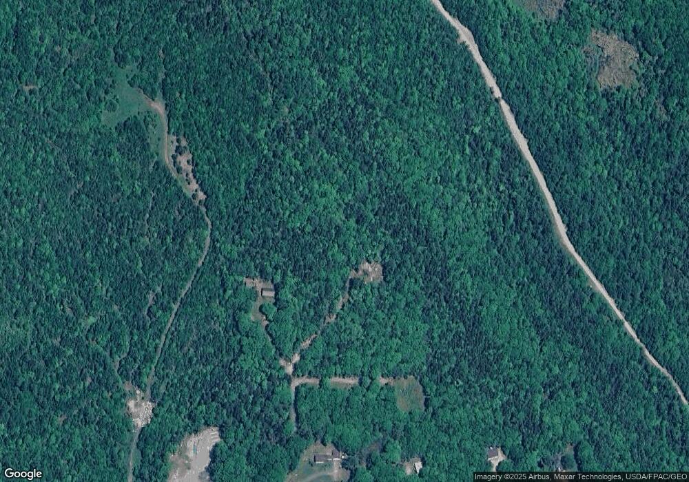
Map
Nearby Homes
- 0 map 7/1 Ebens Trail
- 0 map 7/2 Ebens Trail
- 130 Hartview Cir
- 155 Long Point Way
- M4L15&16 Acadia Hwy
- MAP4LOT17 Acadia Hwy
- Lot 37 Wedge Heights
- 348 Back Ridge Rd
- 160 Front Ridge Rd
- 41 Wildwood Ln
- 194 Branchview Dr
- 1181 Happytown Rd
- MAP19LOT28 Leach Rd
- 123 Front Ridge Rd
- 0 Meadow Brook Ln
- 248 Branchview Dr
- 00 Moosehorn Dr
- Lot #15 Toddy Pond Rd
- 10-10 Toddy Pond Rd
- Lot 005 Maine 46
- 1542 Acadia Hwy
- 1548 Acadia Hwy
- 1514 Acadia Hwy
- 1527 Acadia Hwy
- 1527 Acadia Way
- 1504 Acadia Hwy
- 1517 Acadia Hwy
- 1515 Acadia Hwy
- 1507 Acadia Hwy
- 1503 Acadia Hwy
- 1495 Acadia Hwy
- 1484 Acadia Hwy
- 1535 Acadia Hwy
- 1555 Acadia Hwy
- 1589 Acadia Hwy
- 1588 Acadia Hwy
- 5 Surry Rd
- 0 Acadia Highway Route 1 Unit 1151012
- 000 Surry Rd
- 2 Rosebud Dr