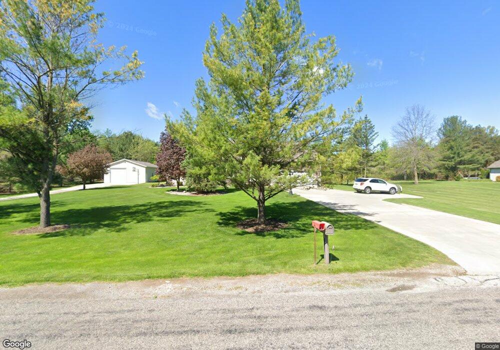
14960 McKeighan Rd Chesaning, MI 48616
Estimated Value: $445,292 - $561,000
5
Beds
4
Baths
3,108
Sq Ft
$166/Sq Ft
Est. Value
About This Home
This home is located at 14960 McKeighan Rd, Chesaning, MI 48616 and is currently estimated at $517,323, approximately $166 per square foot. 14960 McKeighan Rd is a home located in Saginaw County with nearby schools including Big Rock Elementary School, Chesaning Middle School, and Chesaning Union High School.
Ownership History
Date
Name
Owned For
Owner Type
Purchase Details
Closed on
Feb 21, 2024
Sold by
Cooper Glen M and Cooper Sara L
Bought by
Cooper Glen M and Cooper Glen M
Current Estimated Value
Purchase Details
Closed on
Apr 28, 2010
Sold by
Dewey Michael R and Dewey Mary M
Bought by
Cooper Glen M and Cooper Sars L
Home Financials for this Owner
Home Financials are based on the most recent Mortgage that was taken out on this home.
Original Mortgage
$177,600
Interest Rate
5.16%
Mortgage Type
Purchase Money Mortgage
Purchase Details
Closed on
Jul 19, 1993
Create a Home Valuation Report for This Property
The Home Valuation Report is an in-depth analysis detailing your home's value as well as a comparison with similar homes in the area
Home Values in the Area
Average Home Value in this Area
Purchase History
| Date | Buyer | Sale Price | Title Company |
|---|---|---|---|
| Cooper Glen M | -- | None Listed On Document | |
| Cooper Glen M | $222,000 | -- | |
| -- | $12,000 | -- |
Source: Public Records
Mortgage History
| Date | Status | Borrower | Loan Amount |
|---|---|---|---|
| Previous Owner | Cooper Glen M | $177,600 |
Source: Public Records
Tax History Compared to Growth
Tax History
| Year | Tax Paid | Tax Assessment Tax Assessment Total Assessment is a certain percentage of the fair market value that is determined by local assessors to be the total taxable value of land and additions on the property. | Land | Improvement |
|---|---|---|---|---|
| 2025 | $4,664 | $207,300 | $0 | $0 |
| 2024 | $1,449 | $194,500 | $0 | $0 |
| 2023 | $1,380 | $162,300 | $0 | $0 |
| 2022 | $4,142 | $148,500 | $0 | $0 |
| 2021 | $3,785 | $134,000 | $0 | $0 |
| 2020 | $3,694 | $133,500 | $0 | $0 |
| 2019 | $3,527 | $130,100 | $5,800 | $124,300 |
| 2018 | $1,203 | $111,100 | $0 | $0 |
| 2017 | $3,180 | $107,500 | $0 | $0 |
| 2016 | $3,208 | $111,800 | $0 | $0 |
| 2014 | -- | $114,000 | $0 | $0 |
| 2013 | -- | $114,000 | $0 | $0 |
Source: Public Records
Map
Nearby Homes
- 0 Arrowhead 1-A Dr Unit 50184284
- 0 Arrowhead 1-A Dr Unit 50184274
- 0 N 4th St
- V/L #4 Brookshire Dr
- V/L #5 Brookshire Dr
- 1017 N Line St
- V/L W Liberty St
- 603 N Line St
- 910 W Brady Rd
- 0 N 1st St
- 829 Brady St
- 14600 Corunna Rd
- 300 Brady St
- 202 S Clark St
- 317 S Clark St
- 128 Pearl St
- 423 S Line St
- 119 Andres St
- 600 Bentley St
- 16395 Frandsche Rd
- 14882 McKeighan Rd
- 11050 Baldwin Rd
- 10930 Baldwin Rd
- 10930 Baldwin Rd
- 10930 Baldwin Rd
- 11035 Baldwin Rd
- 11106 Baldwin Rd
- 11073 Baldwin Rd
- 14820 McKeighan Rd
- 10920 Baldwin Rd
- 11150 Baldwin Rd
- 10860 Baldwin Rd
- 10933 Baldwin Rd
- 11099 Baldwin Rd
- 15116 McKeighan Rd
- 14759 McKeighan Rd
- 15101 McKeighan Rd
- 15215 McKeighan Rd
- 11215 Baldwin Rd
- 15220 McKeighan Rd