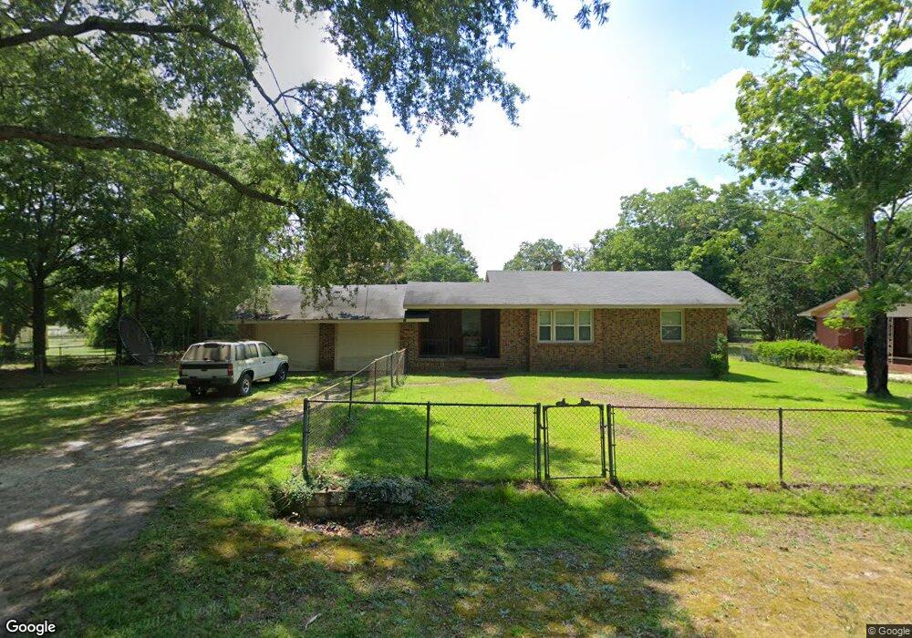
14960 Phillip Dr Laurinburg, NC 28352
Estimated Value: $117,000 - $149,000
2
Beds
1
Bath
1,221
Sq Ft
$113/Sq Ft
Est. Value
About This Home
This home is located at 14960 Phillip Dr, Laurinburg, NC 28352 and is currently estimated at $138,383, approximately $113 per square foot. 14960 Phillip Dr is a home located in Scotland County with nearby schools including I E Johnson Elementary, Spring Hill Middle School, and Scotland High School.
Ownership History
Date
Name
Owned For
Owner Type
Purchase Details
Closed on
Aug 13, 2024
Sold by
Parham Paula
Bought by
Britt Derrick Ryan
Current Estimated Value
Home Financials for this Owner
Home Financials are based on the most recent Mortgage that was taken out on this home.
Original Mortgage
$15,000
Outstanding Balance
$14,841
Interest Rate
6.78%
Mortgage Type
FHA
Estimated Equity
$123,542
Purchase Details
Closed on
Jun 24, 2008
Sold by
Hunt J C and Hunt Judy W
Bought by
Parham Dennis
Home Financials for this Owner
Home Financials are based on the most recent Mortgage that was taken out on this home.
Original Mortgage
$55,400
Interest Rate
6.03%
Mortgage Type
Purchase Money Mortgage
Create a Home Valuation Report for This Property
The Home Valuation Report is an in-depth analysis detailing your home's value as well as a comparison with similar homes in the area
Home Values in the Area
Average Home Value in this Area
Purchase History
| Date | Buyer | Sale Price | Title Company |
|---|---|---|---|
| Britt Derrick Ryan | $130,000 | None Listed On Document | |
| Parham Dennis | $55,500 | None Available |
Source: Public Records
Mortgage History
| Date | Status | Borrower | Loan Amount |
|---|---|---|---|
| Open | Britt Derrick Ryan | $15,000 | |
| Open | Britt Derrick Ryan | $125,356 | |
| Previous Owner | Parham Dennis | $55,400 |
Source: Public Records
Tax History Compared to Growth
Tax History
| Year | Tax Paid | Tax Assessment Tax Assessment Total Assessment is a certain percentage of the fair market value that is determined by local assessors to be the total taxable value of land and additions on the property. | Land | Improvement |
|---|---|---|---|---|
| 2025 | $1,035 | $98,990 | $7,000 | $91,990 |
| 2024 | $865 | $82,620 | $7,000 | $75,620 |
| 2023 | $873 | $82,620 | $7,000 | $75,620 |
| 2022 | $873 | $82,620 | $7,000 | $75,620 |
| 2021 | $881 | $82,620 | $7,000 | $75,620 |
| 2020 | $873 | $82,620 | $7,000 | $75,620 |
| 2019 | $881 | $82,620 | $7,000 | $75,620 |
| 2018 | $693 | $63,810 | $7,000 | $56,810 |
| 2017 | $699 | $63,810 | $7,000 | $56,810 |
| 2016 | $706 | $63,810 | $7,000 | $56,810 |
| 2015 | $712 | $63,810 | $7,000 | $56,810 |
| 2014 | $657 | $0 | $0 | $0 |
Source: Public Records
Map
Nearby Homes
- 14120 Kiser Rd
- 17090 Old Lumberton Rd
- 105 Sanford Rd
- 22 3rd St
- 20 3rd St
- 512 Produce Market Rd
- 0 Queensdale St
- 914 Cliffdale Dr
- 13241 Highland Rd
- 0 Produce Market Rd Unit LotWP001 16910819
- 0 Produce Market Rd
- 201 2nd St
- 0 Hall St
- 622 E Vance St
- 421 Mckay St
- 804 Durso St
- 514 E Covington St
- 411 Mckay St
- 00 Stewartsville Rd
- 411 E Church St
- 14960 Phillips Dr
- 14980 Phillip Dr
- 14980 Phillips Dr
- 14920 Phillips Dr
- 14920 Phillip Dr
- 14200 Kiser Rd
- 14180 Kiser Rd
- 17020 Morgan Cir
- 14981 Phillip Dr
- 14981 Phillips Dr
- 14961 Phillip Dr
- 17081 Morgan Cir
- 14160 Kiser Rd
- 17080 Morgan Cir
- 14880 Phillips Dr
- 14880 Phillip Dr
- 14261 Kiser Rd
- 14261 Kiser Rd
- 17061 Morgan Cir
- 14241 Kiser Rd