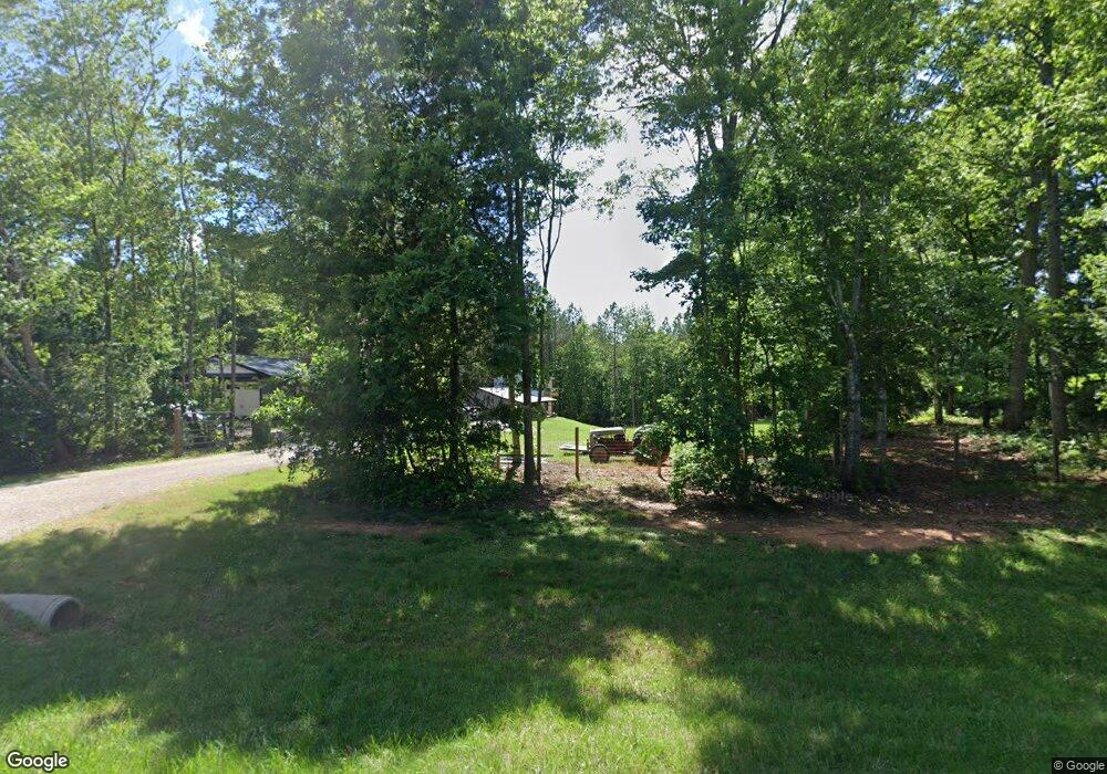
Estimated Value: $201,909 - $279,000
2
Beds
2
Baths
960
Sq Ft
$247/Sq Ft
Est. Value
About This Home
This home is located at 1497 Gentry Farm Rd, King, NC 27021 and is currently estimated at $236,727, approximately $246 per square foot. 1497 Gentry Farm Rd is a home with nearby schools including Mount Olive Elementary School, Chestnut Grove Middle, and West Stokes High.
Ownership History
Date
Name
Owned For
Owner Type
Purchase Details
Closed on
May 21, 2020
Sold by
Covington Charles Larry and Covington Regina
Bought by
Rakes Chad Duane and Rakes Ellen Elizabeth
Current Estimated Value
Home Financials for this Owner
Home Financials are based on the most recent Mortgage that was taken out on this home.
Original Mortgage
$20,000
Outstanding Balance
$13,990
Interest Rate
3.3%
Mortgage Type
New Conventional
Estimated Equity
$222,737
Purchase Details
Closed on
Sep 21, 2016
Sold by
Covington Charles Larry and Covington Regina S
Bought by
Covington Charles Larry and Young Carol Jean
Create a Home Valuation Report for This Property
The Home Valuation Report is an in-depth analysis detailing your home's value as well as a comparison with similar homes in the area
Home Values in the Area
Average Home Value in this Area
Purchase History
| Date | Buyer | Sale Price | Title Company |
|---|---|---|---|
| Rakes Chad Duane | $25,000 | None Available | |
| Covington Charles Larry | -- | Attorney |
Source: Public Records
Mortgage History
| Date | Status | Borrower | Loan Amount |
|---|---|---|---|
| Open | Rakes Chad Duane | $20,000 |
Source: Public Records
Tax History Compared to Growth
Tax History
| Year | Tax Paid | Tax Assessment Tax Assessment Total Assessment is a certain percentage of the fair market value that is determined by local assessors to be the total taxable value of land and additions on the property. | Land | Improvement |
|---|---|---|---|---|
| 2025 | $1,372 | $191,900 | $42,700 | $149,200 |
| 2024 | $1,372 | $121,700 | $31,000 | $90,700 |
| 2023 | $986 | $121,700 | $31,000 | $90,700 |
| 2022 | $397 | $24,100 | $24,100 | $0 |
| 2021 | $178 | $24,100 | $24,100 | $0 |
| 2020 | $134 | $18,100 | $18,100 | $0 |
| 2019 | $134 | $18,100 | $18,100 | $0 |
| 2018 | $134 | $18,100 | $18,100 | $0 |
| 2017 | $133 | $18,100 | $18,100 | $0 |
Source: Public Records
Map
Nearby Homes
- 3125 YMcA Camp Rd
- 1208 Kentland Dr
- .64 Ac Kentland Dr Unit .64 Ac
- 5.25 Ac Capella Ridge Rd Unit 5.25 Ac
- 1105 Flippin Ln
- 0 Nance Rd
- 1085 Mystic Ln
- 0 Edwards Farm Rd
- 108 Nova Ln
- 1035 Sueron Dr
- Lot 9 Brown Rd
- 1060 Brown Rd
- +/- 17.06 Johnson Rd
- 100 Ridgecrest Dr
- 1170 Sterling Pointe Dr
- 1120 Sterling Pointe Dr
- 00 Old Mill Rd Unit 127
- 00 Old Mill Rd Unit 10
- 103 Jasper Ct
- 1.59ac Deerfield Dr
- XX Gentry Farm Rd
- 1477 Gentry Farm Rd
- 1527 Gentry Farm Rd
- 1441 Gentry Farm Rd
- 1396 Gentry Farm Rd
- 1612 Gentry Farm Rd
- 1349 Gentry Farm Rd
- 1622 Gentry Farm Rd
- 1332 Gentry Farm Rd
- 1329 Gentry Farm Rd
- 1299 Gentry Farm Rd
- 1344 Gentry Farm Rd
- 1320 Gentry Farm Rd
- 1722 Lunsford Rd
- 1185 John Farm Rd
- 1344 Lunsford Rd
- 1105 John Farm Rd
- 2064 YMcA Camp Rd
- 2041 YMcA Camp Rd
- 1040 Tobacco Rd
