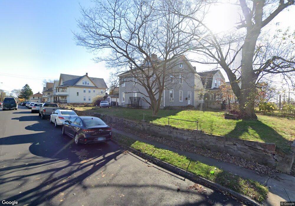
1498 Central Ave Bridgeport, CT 06610
Boston Ave-Mill Hill NeighborhoodEstimated Value: $363,154 - $732,000
4
Beds
2
Baths
2,943
Sq Ft
$181/Sq Ft
Est. Value
About This Home
This home is located at 1498 Central Ave, Bridgeport, CT 06610 and is currently estimated at $533,289, approximately $181 per square foot. 1498 Central Ave is a home located in Fairfield County with nearby schools including Hall School, Harding High School, and Achievement First Bridgeport Academy Elementary School.
Ownership History
Date
Name
Owned For
Owner Type
Purchase Details
Closed on
Sep 29, 1995
Sold by
Mclennon Roylance N and Mclennon Marjorie J
Bought by
Santiago Marie E
Current Estimated Value
Home Financials for this Owner
Home Financials are based on the most recent Mortgage that was taken out on this home.
Original Mortgage
$59,350
Outstanding Balance
$428
Interest Rate
7.89%
Mortgage Type
Unknown
Estimated Equity
$532,861
Create a Home Valuation Report for This Property
The Home Valuation Report is an in-depth analysis detailing your home's value as well as a comparison with similar homes in the area
Home Values in the Area
Average Home Value in this Area
Purchase History
| Date | Buyer | Sale Price | Title Company |
|---|---|---|---|
| Santiago Marie E | $62,500 | -- | |
| Santiago Marie E | $62,500 | -- |
Source: Public Records
Mortgage History
| Date | Status | Borrower | Loan Amount |
|---|---|---|---|
| Open | Santiago Marie E | $59,350 | |
| Closed | Santiago Marie E | $59,350 |
Source: Public Records
Tax History Compared to Growth
Tax History
| Year | Tax Paid | Tax Assessment Tax Assessment Total Assessment is a certain percentage of the fair market value that is determined by local assessors to be the total taxable value of land and additions on the property. | Land | Improvement |
|---|---|---|---|---|
| 2025 | $6,971 | $160,428 | $36,708 | $123,720 |
| 2024 | $6,971 | $160,428 | $36,708 | $123,720 |
| 2023 | $6,971 | $160,428 | $36,708 | $123,720 |
| 2022 | $6,971 | $160,428 | $36,708 | $123,720 |
| 2021 | $6,971 | $160,428 | $36,708 | $123,720 |
| 2020 | $5,999 | $111,110 | $23,290 | $87,820 |
| 2019 | $5,999 | $111,110 | $23,290 | $87,820 |
| 2018 | $6,041 | $111,110 | $23,290 | $87,820 |
| 2017 | $6,041 | $111,110 | $23,290 | $87,820 |
| 2016 | $6,041 | $111,110 | $23,290 | $87,820 |
| 2015 | $6,414 | $152,000 | $35,740 | $116,260 |
| 2014 | $6,414 | $152,000 | $35,740 | $116,260 |
Source: Public Records
Map
Nearby Homes
- 55 Ridgefield Ave
- 290 Ridgefield Ave
- 123-125 Summerfield Ave
- 123 Summerfield Ave
- 11 Bell St
- 361 Ridgefield Ave Unit 363
- 215 Summerfield Ave
- 43 Pixlee Place
- 106 Elizabeth St
- 1402 Boston Ave
- 180 Holly St
- 1575 Boston Ave Unit B2
- 819 Connecticut Ave Unit 6
- 30 Dover St
- 147 Helen St Unit 149
- 314 Judson Place
- 591 Wilmot Ave Unit 3
- 591 Wilmot Ave Unit 2
- 610 Wilmot Ave Unit 4
- 262 Pixlee Place
- 1490 Central Ave
- 1480 Central Ave
- 42 Ford Place
- 38 Ford Place Unit 40
- 40 Ford Place
- 1525 Central Ave Unit c2
- 1525 Central Ave Unit a5
- 1525 Central Ave Unit C5
- 1525 Central Ave Unit B5
- 48 Ford Place Unit 50
- 37 Ford Place Unit 2
- 35 Ford Place Unit 37
- 1549 Central Ave Unit 1555
- 58 Ford Place Unit 62
- 1524 Central Ave Unit 1526
- 1535 Central Ave Unit 113
- 1535 Central Ave Unit 317
- 68 Ford Place Unit 70
- 70 Ford Place
- 68-70 Ford Place