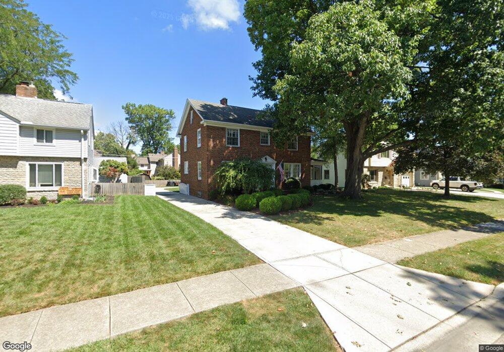
1498 Doone Rd Columbus, OH 43221
Estimated Value: $633,129 - $699,000
4
Beds
2
Baths
1,716
Sq Ft
$390/Sq Ft
Est. Value
About This Home
This home is located at 1498 Doone Rd, Columbus, OH 43221 and is currently estimated at $668,532, approximately $389 per square foot. 1498 Doone Rd is a home located in Franklin County with nearby schools including Barrington Road Elementary School, Jones Middle School, and Upper Arlington High School.
Ownership History
Date
Name
Owned For
Owner Type
Purchase Details
Closed on
May 30, 2000
Sold by
Herold Christopher S
Bought by
Rapp Martin J and Rapp Julie H
Current Estimated Value
Home Financials for this Owner
Home Financials are based on the most recent Mortgage that was taken out on this home.
Original Mortgage
$264,100
Outstanding Balance
$90,108
Interest Rate
8.6%
Estimated Equity
$578,424
Purchase Details
Closed on
Jul 3, 1997
Sold by
Sturgeon Rosemary R and Sturgeon James R
Bought by
Herold Christopher S and Herold Kimberly C
Home Financials for this Owner
Home Financials are based on the most recent Mortgage that was taken out on this home.
Original Mortgage
$220,000
Interest Rate
8.01%
Create a Home Valuation Report for This Property
The Home Valuation Report is an in-depth analysis detailing your home's value as well as a comparison with similar homes in the area
Home Values in the Area
Average Home Value in this Area
Purchase History
| Date | Buyer | Sale Price | Title Company |
|---|---|---|---|
| Rapp Martin J | $278,000 | Amerititle Agency Inc | |
| Herold Christopher S | $220,000 | Ohio Title Agency |
Source: Public Records
Mortgage History
| Date | Status | Borrower | Loan Amount |
|---|---|---|---|
| Open | Rapp Martin J | $264,100 | |
| Closed | Herold Christopher S | $220,000 |
Source: Public Records
Tax History
| Year | Tax Paid | Tax Assessment Tax Assessment Total Assessment is a certain percentage of the fair market value that is determined by local assessors to be the total taxable value of land and additions on the property. | Land | Improvement |
|---|---|---|---|---|
| 2025 | $11,108 | $191,870 | $70,560 | $121,310 |
| 2024 | $11,108 | $191,870 | $70,560 | $121,310 |
| 2023 | $10,970 | $191,870 | $70,560 | $121,310 |
| 2022 | $10,629 | $152,110 | $44,940 | $107,170 |
| 2021 | $9,409 | $152,110 | $44,940 | $107,170 |
| 2020 | $9,326 | $152,110 | $44,940 | $107,170 |
| 2019 | $8,784 | $126,670 | $44,940 | $81,730 |
| 2018 | $8,451 | $126,670 | $44,940 | $81,730 |
| 2017 | $8,445 | $126,670 | $44,940 | $81,730 |
| 2016 | $8,174 | $123,630 | $36,300 | $87,330 |
| 2015 | $8,167 | $123,630 | $36,300 | $87,330 |
| 2014 | $8,176 | $123,630 | $36,300 | $87,330 |
| 2013 | $3,904 | $112,385 | $33,005 | $79,380 |
Source: Public Records
Map
Nearby Homes
- 1565 Berkshire Rd
- 2585 Westmont Blvd
- 1869 Tewksbury Rd
- 1395 Upper Green Cir Unit 1395
- 1810 Ashland Ave
- 1785 Northwest Ct Unit D
- 1799 Kings Ct Unit B
- 2803 N Star Rd
- 2208 Arlington Ave
- 1493 Chesapeake Ave
- 1507 Chesapeake Ave
- 1461-1467 Chesapeake Ave
- 2583 Wexford Rd
- 1631 King Ave
- 1109 Sells Ave Unit L
- 1083 Sells Ave Unit 14
- 1845 Hess Blvd
- 1624 Ashland Ave
- 925 Kinnear Rd
- 1606 Elmwood Ave
Your Personal Tour Guide
Ask me questions while you tour the home.