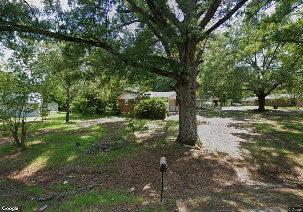
14981 Phillip Dr Laurinburg, NC 28352
Estimated Value: $81,000 - $106,000
2
Beds
1
Bath
900
Sq Ft
$109/Sq Ft
Est. Value
About This Home
This home is located at 14981 Phillip Dr, Laurinburg, NC 28352 and is currently estimated at $97,896, approximately $108 per square foot. 14981 Phillip Dr is a home located in Scotland County with nearby schools including I E Johnson Elementary, Spring Hill Middle School, and Scotland High School.
Ownership History
Date
Name
Owned For
Owner Type
Purchase Details
Closed on
Apr 11, 2017
Sold by
Dunsford James M
Bought by
Gascon Robin
Current Estimated Value
Home Financials for this Owner
Home Financials are based on the most recent Mortgage that was taken out on this home.
Original Mortgage
$1,649
Outstanding Balance
$1,369
Interest Rate
4.3%
Mortgage Type
Unknown
Estimated Equity
$96,527
Create a Home Valuation Report for This Property
The Home Valuation Report is an in-depth analysis detailing your home's value as well as a comparison with similar homes in the area
Home Values in the Area
Average Home Value in this Area
Purchase History
| Date | Buyer | Sale Price | Title Company |
|---|---|---|---|
| Gascon Robin | $56,000 | Attorney |
Source: Public Records
Mortgage History
| Date | Status | Borrower | Loan Amount |
|---|---|---|---|
| Open | Gascon Robin | $1,649 | |
| Open | Gascon Robin | $54,985 |
Source: Public Records
Tax History Compared to Growth
Tax History
| Year | Tax Paid | Tax Assessment Tax Assessment Total Assessment is a certain percentage of the fair market value that is determined by local assessors to be the total taxable value of land and additions on the property. | Land | Improvement |
|---|---|---|---|---|
| 2025 | $550 | $50,040 | $7,480 | $42,560 |
| 2024 | $545 | $50,040 | $7,480 | $42,560 |
| 2023 | $550 | $50,040 | $7,480 | $42,560 |
| 2022 | $550 | $50,040 | $7,480 | $42,560 |
| 2021 | $555 | $50,040 | $7,480 | $42,560 |
| 2020 | $550 | $50,040 | $7,480 | $42,560 |
| 2019 | $555 | $50,040 | $7,480 | $42,560 |
| 2018 | $583 | $52,790 | $7,480 | $45,310 |
| 2017 | $588 | $52,790 | $7,480 | $45,310 |
| 2016 | $297 | $52,790 | $7,480 | $45,310 |
| 2015 | $299 | $52,790 | $7,480 | $45,310 |
| 2014 | $272 | $0 | $0 | $0 |
Source: Public Records
Map
Nearby Homes
- 14120 Kiser Rd
- 17090 Old Lumberton Rd
- 105 Sanford Rd
- 22 3rd St
- 20 3rd St
- 512 Produce Market Rd
- 0 Queensdale St
- 914 Cliffdale Dr
- 0 Produce Market Rd Unit LotWP001 16910819
- 0 Produce Market Rd
- 13241 Highland Rd
- 201 2nd St
- 0 Hall St
- 622 E Vance St
- 804 Durso St
- 421 Mckay St
- 514 E Covington St
- 411 Mckay St
- 00 Stewartsville Rd
- 411 E Church St
- 14981 Phillips Dr
- 17080 Morgan Cir
- 14960 Phillips Dr
- 14980 Phillips Dr
- 14980 Phillip Dr
- 14961 Phillip Dr
- 17100 Morgan Cir
- 14960 Phillip Dr
- 17081 Morgan Cir
- 17121 Morgan Cir
- 17101 Morgan Cir
- 14920 Phillip Dr
- 14920 Phillips Dr
- 17120 Morgan Cir
- 17020 Morgan Cir
- 17141 Morgan Cir
- 17061 Morgan Cir
- 14941 Phillip Dr
- 14200 Kiser Rd
- 14180 Kiser Rd