14982 Buggy Whip Sisters, OR 97759
Estimated Value: $692,891 - $757,000
3
Beds
2
Baths
1,802
Sq Ft
$405/Sq Ft
Est. Value
About This Home
This home is located at 14982 Buggy Whip, Sisters, OR 97759 and is currently estimated at $730,473, approximately $405 per square foot. 14982 Buggy Whip is a home located in Deschutes County with nearby schools including Sisters Elementary School, Sisters Middle School, and Sisters High School.
Ownership History
Date
Name
Owned For
Owner Type
Purchase Details
Closed on
Jun 29, 2012
Sold by
Lysne David H and Lysne Dale D
Bought by
Lysne David H and Lysne Dale D
Current Estimated Value
Purchase Details
Closed on
Jun 24, 2004
Sold by
Haken Jeffery D and Haken Jennifer D
Bought by
Lysne David H and Lysne Dale D
Home Financials for this Owner
Home Financials are based on the most recent Mortgage that was taken out on this home.
Original Mortgage
$196,000
Interest Rate
6.29%
Mortgage Type
Unknown
Create a Home Valuation Report for This Property
The Home Valuation Report is an in-depth analysis detailing your home's value as well as a comparison with similar homes in the area
Home Values in the Area
Average Home Value in this Area
Purchase History
| Date | Buyer | Sale Price | Title Company |
|---|---|---|---|
| Lysne David H | -- | None Available | |
| Lysne David H | $245,000 | First Amer Title Ins Co Or |
Source: Public Records
Mortgage History
| Date | Status | Borrower | Loan Amount |
|---|---|---|---|
| Closed | Lysne David H | $196,000 |
Source: Public Records
Tax History Compared to Growth
Tax History
| Year | Tax Paid | Tax Assessment Tax Assessment Total Assessment is a certain percentage of the fair market value that is determined by local assessors to be the total taxable value of land and additions on the property. | Land | Improvement |
|---|---|---|---|---|
| 2025 | $3,826 | $242,540 | -- | -- |
| 2024 | $3,708 | $235,480 | -- | -- |
| 2023 | $3,605 | $228,630 | $0 | $0 |
| 2022 | $3,325 | $215,520 | $0 | $0 |
| 2021 | $3,344 | $209,250 | $0 | $0 |
| 2020 | $3,177 | $209,250 | $0 | $0 |
| 2019 | $3,101 | $203,160 | $0 | $0 |
| 2018 | $3,002 | $197,250 | $0 | $0 |
| 2017 | $2,911 | $191,510 | $0 | $0 |
| 2016 | $2,875 | $185,940 | $0 | $0 |
| 2015 | $2,696 | $180,530 | $0 | $0 |
| 2014 | $2,609 | $175,280 | $0 | $0 |
Source: Public Records
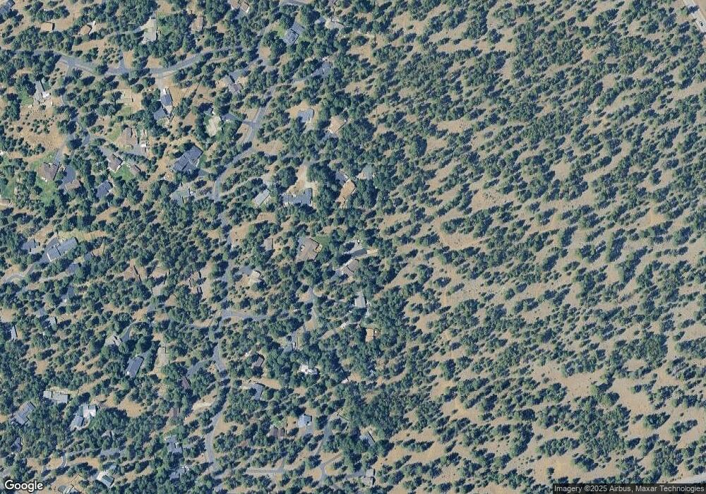
Map
Nearby Homes
- 69362 Lariat
- 69388 Tollgate Rd
- 14842 Stagecoach
- 14904 Snafflebit
- 14850 Schooner
- 69341 Silver Spur
- 14860 Checkrein
- 69322 Hackamore
- 69301 Lariat
- 69215 Martingale
- 14853 Crupper
- 1705 W Williamson Ave
- 632 N Reed St
- 1639 W Williamson Ave
- 958 N Trinity Way
- 928 N Trinity Way
- 1602 W Hill Ave
- 720 N Hindeman St
- 746 N Roundhouse Ct
- 771 N Brooks Camp Rd