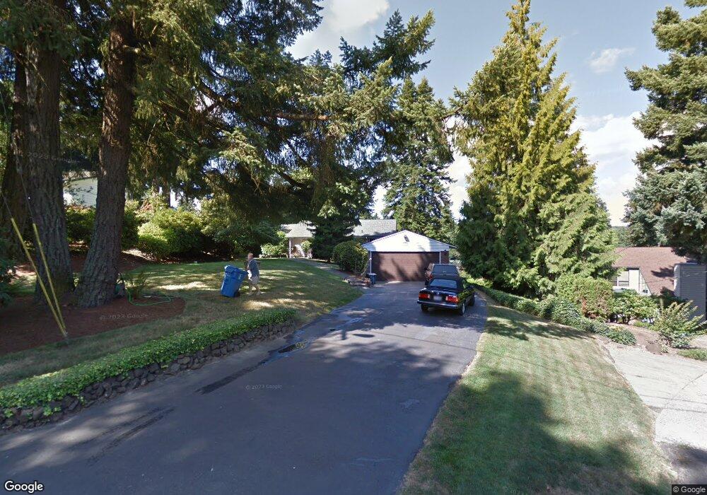
14987 SE Thornton Dr Milwaukie, OR 97267
Estimated Value: $721,000 - $815,864
5
Beds
3
Baths
3,070
Sq Ft
$249/Sq Ft
Est. Value
About This Home
This home is located at 14987 SE Thornton Dr, Milwaukie, OR 97267 and is currently estimated at $764,466, approximately $249 per square foot. 14987 SE Thornton Dr is a home located in Clackamas County with nearby schools including Oak Grove Elementary School, Alder Creek Middle School, and Rex Putnam High School.
Ownership History
Date
Name
Owned For
Owner Type
Purchase Details
Closed on
Oct 5, 1998
Sold by
Eveland James E and Eveland Sandra R
Bought by
Mcleod Dennis Arthur and Mcleod Julie Annette
Current Estimated Value
Home Financials for this Owner
Home Financials are based on the most recent Mortgage that was taken out on this home.
Original Mortgage
$220,000
Outstanding Balance
$46,913
Interest Rate
6.88%
Estimated Equity
$717,553
Create a Home Valuation Report for This Property
The Home Valuation Report is an in-depth analysis detailing your home's value as well as a comparison with similar homes in the area
Home Values in the Area
Average Home Value in this Area
Purchase History
| Date | Buyer | Sale Price | Title Company |
|---|---|---|---|
| Mcleod Dennis Arthur | $275,000 | First American Title Ins Co |
Source: Public Records
Mortgage History
| Date | Status | Borrower | Loan Amount |
|---|---|---|---|
| Open | Mcleod Dennis Arthur | $220,000 |
Source: Public Records
Tax History Compared to Growth
Tax History
| Year | Tax Paid | Tax Assessment Tax Assessment Total Assessment is a certain percentage of the fair market value that is determined by local assessors to be the total taxable value of land and additions on the property. | Land | Improvement |
|---|---|---|---|---|
| 2025 | $7,303 | $387,342 | -- | -- |
| 2024 | $7,042 | $376,061 | -- | -- |
| 2023 | $7,042 | $365,108 | $0 | $0 |
| 2022 | $6,471 | $354,474 | $0 | $0 |
| 2021 | $6,233 | $344,150 | $0 | $0 |
| 2020 | $6,032 | $334,127 | $0 | $0 |
| 2019 | $5,945 | $324,396 | $0 | $0 |
| 2018 | $5,195 | $314,948 | $0 | $0 |
| 2017 | $5,026 | $305,775 | $0 | $0 |
| 2016 | $4,844 | $296,869 | $0 | $0 |
| 2015 | $4,704 | $288,222 | $0 | $0 |
| 2014 | $4,446 | $279,827 | $0 | $0 |
Source: Public Records
Map
Nearby Homes
- 15323 SE Fairoaks Ave
- 15498 SE River Forest Dr
- 14411 SE Wagner Ln
- 15427 SE River Rd
- 135 Furnace St Unit 22
- 985 SE Rim Rock Ln
- 14222 SE Laurie Ave
- 200 Burnham Rd Unit 200
- 15316 SE Lee Ave
- 0 SE Cedar Ave
- 115 Ash St
- 1875 SE River Glen Ct
- 14368 SE Lee Ave
- 420 S State St
- 990 Lund St
- 2147 Glenmorrie Ln
- 222 Ridgeway Rd
- 14007 SE Cedar Ave
- 246 Ridgeway Rd
- 272 Greenwood Rd
- 15055 SE Thornton Dr
- 14949 SE Thornton Dr
- 15075 SE Thornton Dr
- 14901 SE Thornton Dr
- 14915 SE Thornton Dr
- 15115 SE Thornton Dr
- 14878 SE Thornton Dr
- 14875 SE Thornton Dr
- 15143 SE Thornton Dr
- 1012 SE Dogwood Ln
- 1022 SE Dogwood Ln
- 1000 SE Dogwood Ln
- 980 SE Dogwood Ln
- 15154 SE Thornton Dr
- 14980 SE River Forest Dr
- 15107 SE Fairoaks Ave
- 14962 SE River Forest Dr
- 960 SE Dogwood Ln
- 14863 SE Thornton Dr
- 15115 SE Fairoaks Ave