Estimated Value: $327,000 - $571,000
4
Beds
3
Baths
1,456
Sq Ft
$293/Sq Ft
Est. Value
About This Home
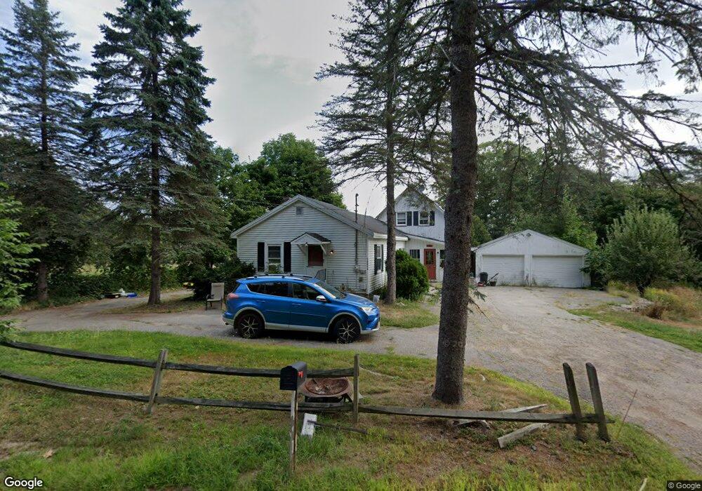
This home is located at 1499 Acton Ridge Rd, Acton, ME 04001 and is currently estimated at $427,059, approximately $293 per square foot. 1499 Acton Ridge Rd is a home located in York County with nearby schools including Acton Elementary School.
Ownership History
Date
Name
Owned For
Owner Type
Purchase Details
Closed on
Nov 6, 2006
Sold by
Garrett Scott W
Bought by
Muse Cheryl A
Current Estimated Value
Home Financials for this Owner
Home Financials are based on the most recent Mortgage that was taken out on this home.
Original Mortgage
$154,400
Interest Rate
6.47%
Mortgage Type
Commercial
Create a Home Valuation Report for This Property
The Home Valuation Report is an in-depth analysis detailing your home's value as well as a comparison with similar homes in the area
Home Values in the Area
Average Home Value in this Area
Purchase History
| Date | Buyer | Sale Price | Title Company |
|---|---|---|---|
| Muse Cheryl A | -- | -- |
Source: Public Records
Mortgage History
| Date | Status | Borrower | Loan Amount |
|---|---|---|---|
| Closed | Muse Cheryl A | $154,400 | |
| Closed | Muse Cheryl A | $38,600 |
Source: Public Records
Tax History Compared to Growth
Tax History
| Year | Tax Paid | Tax Assessment Tax Assessment Total Assessment is a certain percentage of the fair market value that is determined by local assessors to be the total taxable value of land and additions on the property. | Land | Improvement |
|---|---|---|---|---|
| 2024 | $1,764 | $249,510 | $84,864 | $164,646 |
| 2023 | $1,609 | $249,510 | $84,864 | $164,646 |
| 2022 | $2,005 | $167,750 | $42,689 | $125,061 |
| 2021 | $2,005 | $167,750 | $42,689 | $125,061 |
| 2020 | $2,021 | $167,750 | $42,689 | $125,061 |
| 2019 | $2,021 | $167,750 | $42,689 | $125,061 |
| 2018 | $2,021 | $167,750 | $42,689 | $125,061 |
| 2017 | $1,996 | $167,750 | $42,689 | $125,061 |
| 2016 | $1,887 | $167,750 | $42,689 | $125,061 |
| 2015 | $1,938 | $167,750 | $42,689 | $125,061 |
| 2014 | $1,862 | $167,750 | $42,689 | $125,061 |
Source: Public Records
Map
Nearby Homes
- 204 Acton Ridge Rd Unit 204
- 1618 Acton Ridge Rd
- Lot #021 Abbott Rd
- 284 Abbott Rd
- 253 Asbury Ln
- 57 Green Bay Rd
- TBD Mann Rd
- 0 Island Dr
- 0 Whitehouse Rd
- 97 Daniel Dr
- 0 Monique Dr Unit 5047887
- 322 Concord Ln
- 163 Buzzell Rd
- Parcel #1 Sanborn Rd
- 347 Anderson Cove Rd
- 140 Perkins Hill Rd
- 2403 Province Lake Rd Unit 21000
- Lots 30+18 Thornhill Rd
- 149 Sleepy Hollow Rd
- 271 Red Gate Ln
- 1523 Acton Ridge Rd
- 0 Birchwood
- Lot 13 Birchwood Ln
- 1526 Acton Ridge Rd
- 23 Birchwood Ln
- 124 Birchwood Ln
- 1543 Acton Ridge Rd
- 1457 Acton Ridge Rd
- 1540 Acton Ridge Rd
- 00 Abbott Rd
- 1577 Acton Ridge Rd
- 1 Abbott Rd
- Lt 8,9,4 Abbott Rd
- Lot 8 Abbott Rd
- 21 Abbott Rd
- 91 Birchwood Ln
- 0 Juniper
- Lot 33 Acton Ridge Rd
- #3 Abbott Rd
- 1590 Acton Ridge Rd