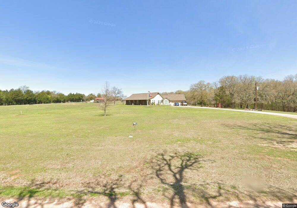
1499 Orchard Rd Whitesboro, TX 76273
Estimated Value: $541,934 - $587,000
3
Beds
2
Baths
2,395
Sq Ft
$236/Sq Ft
Est. Value
About This Home
This home is located at 1499 Orchard Rd, Whitesboro, TX 76273 and is currently estimated at $564,467, approximately $235 per square foot. 1499 Orchard Rd is a home located in Grayson County with nearby schools including J.W. Hayes Primary School, Whitesboro Intermediate School, and Whitesboro Middle School.
Ownership History
Date
Name
Owned For
Owner Type
Purchase Details
Closed on
Sep 11, 2012
Sold by
Scorsone Steven J and Scorsone Becky J
Bought by
Gabbert Ra Wayne and Gabbert Julia Ann
Current Estimated Value
Home Financials for this Owner
Home Financials are based on the most recent Mortgage that was taken out on this home.
Original Mortgage
$156,400
Interest Rate
3.66%
Mortgage Type
New Conventional
Create a Home Valuation Report for This Property
The Home Valuation Report is an in-depth analysis detailing your home's value as well as a comparison with similar homes in the area
Home Values in the Area
Average Home Value in this Area
Purchase History
| Date | Buyer | Sale Price | Title Company |
|---|---|---|---|
| Gabbert Ra Wayne | -- | Red River Title Co | |
| Gabbert Ira Wayne | -- | Red River Title Co |
Source: Public Records
Mortgage History
| Date | Status | Borrower | Loan Amount |
|---|---|---|---|
| Previous Owner | Gabbert Ira Wayne | $156,400 |
Source: Public Records
Tax History Compared to Growth
Tax History
| Year | Tax Paid | Tax Assessment Tax Assessment Total Assessment is a certain percentage of the fair market value that is determined by local assessors to be the total taxable value of land and additions on the property. | Land | Improvement |
|---|---|---|---|---|
| 2025 | $1,071 | $416,671 | -- | -- |
| 2024 | $5,994 | $378,792 | $0 | $0 |
| 2023 | $1,065 | $344,356 | $0 | $0 |
| 2022 | $4,977 | $313,051 | $0 | $0 |
| 2021 | $5,115 | $288,158 | $101,767 | $186,391 |
| 2020 | $4,790 | $258,720 | $78,447 | $180,273 |
| 2019 | $5,015 | $254,732 | $75,812 | $178,920 |
| 2018 | $4,657 | $229,782 | $67,388 | $162,394 |
| 2017 | $4,604 | $224,027 | $67,388 | $156,639 |
| 2016 | $4,467 | $217,351 | $54,739 | $162,612 |
| 2015 | $1,326 | $198,851 | $54,739 | $144,112 |
| 2014 | $1,478 | $200,860 | $54,739 | $146,121 |
Source: Public Records
Map
Nearby Homes
- 262 Briar Creek Rd
- 491 Navajo Rd
- 2208 Sundance Rd
- 2026 Sundance Rd
- 2151 Sundance Rd
- 2256 Sundance Rd
- 2160 Sundance Rd
- 2244 Sundance Rd
- 2148 Sundance Rd
- TBD Bones Chapel Rd
- 20ac Us Hwy 377
- 1052 Bones Chapel Rd
- 790 Bones Chapel Rd
- 3285 Roland Rd
- 347 Copper Branch Rd
- 400 Wild Wood Ln
- 2722 County Road 156
- 436 Dixie Rd
- Lot 6 County Road 132
- Lot 5 County Road 132
- 3342 Roland Rd
- 3374 Roland Rd
- 1452 Orchard Rd
- 1350 Orchard Rd
- 1261 Orchard Rd
- 3540 Roland Rd
- 3473 Roland Rd
- 3581 Roland Rd
- 1092 Orchard Rd
- 2906 Roland Rd
- 3618 Roland Rd
- 3700 Roland Rd
- 3746 Roland Rd
- 2869 Roland Rd
- 2681 Roland Rd
- 37 Briar Creek Rd
- 141 Briar Creek Rd
- 171 Briar Creek Rd
- 31AC Navajo Rd
- 2744 Roland Rd