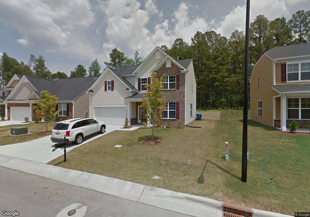
1499 Willowcrest Rd Durham, NC 27703
Eastern Durham NeighborhoodEstimated Value: $436,911 - $458,000
3
Beds
3
Baths
2,351
Sq Ft
$190/Sq Ft
Est. Value
About This Home
This home is located at 1499 Willowcrest Rd, Durham, NC 27703 and is currently estimated at $447,728, approximately $190 per square foot. 1499 Willowcrest Rd is a home located in Durham County with nearby schools including Spring Valley Elementary School, John W Neal Middle School, and Southern School of Energy & Sustainability.
Ownership History
Date
Name
Owned For
Owner Type
Purchase Details
Closed on
Apr 11, 2011
Sold by
Hearthstone Multi Asset Entity B Lp
Bought by
Zaldivar Neyda S and Ford Neyda O
Current Estimated Value
Home Financials for this Owner
Home Financials are based on the most recent Mortgage that was taken out on this home.
Original Mortgage
$197,361
Outstanding Balance
$127,600
Interest Rate
3.5%
Mortgage Type
FHA
Estimated Equity
$320,128
Create a Home Valuation Report for This Property
The Home Valuation Report is an in-depth analysis detailing your home's value as well as a comparison with similar homes in the area
Home Values in the Area
Average Home Value in this Area
Purchase History
| Date | Buyer | Sale Price | Title Company |
|---|---|---|---|
| Zaldivar Neyda S | $202,500 | None Available |
Source: Public Records
Mortgage History
| Date | Status | Borrower | Loan Amount |
|---|---|---|---|
| Open | Zaldivar Neyda S | $197,361 |
Source: Public Records
Tax History
| Year | Tax Paid | Tax Assessment Tax Assessment Total Assessment is a certain percentage of the fair market value that is determined by local assessors to be the total taxable value of land and additions on the property. | Land | Improvement |
|---|---|---|---|---|
| 2025 | $4,426 | $446,464 | $100,300 | $346,164 |
| 2024 | $3,759 | $269,478 | $44,325 | $225,153 |
| 2023 | $3,530 | $269,478 | $44,325 | $225,153 |
| 2022 | $3,449 | $269,478 | $44,325 | $225,153 |
| 2021 | $3,433 | $269,478 | $44,325 | $225,153 |
| 2020 | $3,352 | $269,478 | $44,325 | $225,153 |
| 2019 | $3,352 | $269,478 | $44,325 | $225,153 |
| 2018 | $3,209 | $236,554 | $47,280 | $189,274 |
| 2017 | $3,185 | $236,554 | $47,280 | $189,274 |
| 2016 | $3,078 | $236,554 | $47,280 | $189,274 |
| 2015 | $4,019 | $290,342 | $48,721 | $241,621 |
| 2014 | $4,019 | $290,342 | $48,721 | $241,621 |
Source: Public Records
Map
Nearby Homes
- 1107 High Fox Dr
- 111 Glenview Ln
- 106 Token House Rd
- 142 Token House Rd
- 3311 Delmar Dr
- 500 Kings Lake Way
- 1315 Pennock Rd
- 907 Danbury Dr
- 3311 Gypsum Dr
- 3301 Gypsum Dr
- 610 Sherron Rd
- 1015 Sora Way
- 1821 S Mineral Springs Rd
- 3210 Gypsum Dr
- 3313 Delmar Dr
- 3212 Gypsum Dr
- 3214 Gypsum Dr
- 3216 Gypsum Dr
- 3218 Gypsum Dr
- 3220 Gypsum Dr
- 1497 Willowcrest Rd
- 1501 Willowcrest Rd
- 1495 Willowcrest Rd
- 1503 Willowcrest Rd
- 100 Elmsford St
- 1505 Willowcrest Rd
- 101 Elmsford St
- 102 Elmsford St
- 1507 Willowcrest Rd
- 103 Thorngate Rd
- 101 Thorngate Rd
- 103 Elmsford St
- 1312 Willowcrest Rd
- 104 Elmsford St
- 1509 Willowcrest Rd
- 1310 Willowcrest Rd
- 202 Ashton Glen
- 105 Elmsford St
- 1309 Willowcrest Rd
- 204 Ashton Glen
Your Personal Tour Guide
Ask me questions while you tour the home.