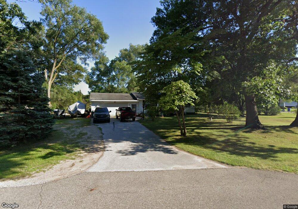
14992 Curve Dr Grand Haven, MI 49417
Estimated Value: $283,160 - $295,000
3
Beds
1
Bath
960
Sq Ft
$303/Sq Ft
Est. Value
About This Home
This home is located at 14992 Curve Dr, Grand Haven, MI 49417 and is currently estimated at $291,040, approximately $303 per square foot. 14992 Curve Dr is a home located in Ottawa County with nearby schools including Ferry School, Central High School, and White Pines Intermediate School.
Ownership History
Date
Name
Owned For
Owner Type
Purchase Details
Closed on
Oct 16, 2019
Sold by
Deneff Dona M and Sharon K Mapes Trust
Bought by
Gardner Rebecca and Gardner Joey
Current Estimated Value
Home Financials for this Owner
Home Financials are based on the most recent Mortgage that was taken out on this home.
Original Mortgage
$128,000
Outstanding Balance
$111,904
Interest Rate
3.4%
Mortgage Type
New Conventional
Estimated Equity
$179,136
Purchase Details
Closed on
Mar 21, 2019
Sold by
Mapes Sharon
Bought by
Mapes Sharon K and Sharon K Mapes Trust
Purchase Details
Closed on
Jul 25, 2015
Sold by
Mapes Sharon and Bell Sharon
Bought by
Mapes Sharon
Home Financials for this Owner
Home Financials are based on the most recent Mortgage that was taken out on this home.
Original Mortgage
$81,600
Interest Rate
4.02%
Mortgage Type
New Conventional
Create a Home Valuation Report for This Property
The Home Valuation Report is an in-depth analysis detailing your home's value as well as a comparison with similar homes in the area
Home Values in the Area
Average Home Value in this Area
Purchase History
| Date | Buyer | Sale Price | Title Company |
|---|---|---|---|
| Gardner Rebecca | $160,000 | Chicago Title Of Mi Inc | |
| Mapes Sharon K | -- | None Available | |
| Mapes Sharon | -- | Title Source Inc |
Source: Public Records
Mortgage History
| Date | Status | Borrower | Loan Amount |
|---|---|---|---|
| Open | Gardner Rebecca | $128,000 | |
| Previous Owner | Mapes Sharon | $81,600 |
Source: Public Records
Tax History Compared to Growth
Tax History
| Year | Tax Paid | Tax Assessment Tax Assessment Total Assessment is a certain percentage of the fair market value that is determined by local assessors to be the total taxable value of land and additions on the property. | Land | Improvement |
|---|---|---|---|---|
| 2025 | $1,457 | $110,400 | $0 | $0 |
| 2024 | $918 | $92,700 | $0 | $0 |
| 2023 | $982 | $81,400 | $0 | $0 |
| 2022 | $1,495 | $75,900 | $0 | $0 |
| 2021 | $1,455 | $70,600 | $0 | $0 |
| 2020 | $3,039 | $64,100 | $0 | $0 |
| 2019 | $1,389 | $61,000 | $0 | $0 |
| 2018 | $1,295 | $58,000 | $17,500 | $40,500 |
| 2017 | $1,283 | $59,800 | $0 | $0 |
| 2016 | $1,289 | $56,500 | $0 | $0 |
| 2015 | -- | $52,500 | $0 | $0 |
| 2014 | -- | $48,200 | $0 | $0 |
Source: Public Records
Map
Nearby Homes
- 15385 Meadowlark Dr
- 15448 Meadowlark Dr
- 14782 Williams Way
- 15000 Sandstone Rd
- 14664 154th Ave
- 14758 152nd Ave
- 14666 Indian Trails Dr
- 15843 Brucker St
- 14877 160th Ave
- 15922 Mercury Dr
- 15060 Mercury Dr
- 16171 Comstock St
- 14893 Boom Rd
- 16040 Robrick Ave
- 15382 Coleman Ave
- 14667 Boom Rd
- 14128 Luckett Ln
- 14111 Payne Forest Ave
- 14092 152nd Ave
- 15914 Fern Ave
- 15489 Mercury Dr
- 15020 155th Ave
- 15025 155th Ave
- 15524 Mercury Dr
- 15481 Mercury Dr
- 15032 155th Ave
- 15023 154th Ave
- 15502 Mercury Dr
- 15514 Mercury Dr
- 15532 Mercury Dr
- 15488 Mercury Dr
- 15460 Canary Dr
- 15033 154th Ave
- 15044 155th Ave
- 15460 Canary St
- 15469 Mercury Dr
- 15474 Mercury Dr
- 15045 155th Ave
- 15054 155th Ave
- 15043 154th Ave