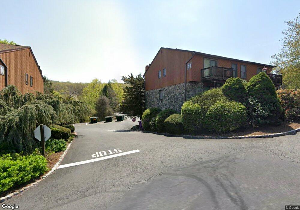
14E Brookside Heights Unit E Wanaque, NJ 07465
Estimated Value: $456,755 - $482,000
2
Beds
3
Baths
--
Sq Ft
436
Sq Ft
About This Home
This home is located at 14E Brookside Heights Unit E, Wanaque, NJ 07465 and is currently estimated at $470,189. 14E Brookside Heights Unit E is a home located in Passaic County with nearby schools including Lakeland Reg High School.
Ownership History
Date
Name
Owned For
Owner Type
Purchase Details
Closed on
Oct 6, 2022
Sold by
Pimm Kathleen
Bought by
Farrell David
Current Estimated Value
Home Financials for this Owner
Home Financials are based on the most recent Mortgage that was taken out on this home.
Original Mortgage
$240,000
Outstanding Balance
$229,245
Interest Rate
5.89%
Mortgage Type
New Conventional
Estimated Equity
$240,944
Purchase Details
Closed on
Jul 25, 2000
Sold by
Amirian Vahe and Amirian Elizabeth
Bought by
Amirian Vahe and Amirian Elizabeth
Purchase Details
Closed on
May 18, 2000
Sold by
Tripodi James and Tripodi William
Bought by
Pimm Kathleen
Home Financials for this Owner
Home Financials are based on the most recent Mortgage that was taken out on this home.
Original Mortgage
$140,000
Interest Rate
8.59%
Create a Home Valuation Report for This Property
The Home Valuation Report is an in-depth analysis detailing your home's value as well as a comparison with similar homes in the area
Home Values in the Area
Average Home Value in this Area
Purchase History
| Date | Buyer | Sale Price | Title Company |
|---|---|---|---|
| Farrell David | $340,000 | Evident Title Agency | |
| Farrell David | $340,000 | Evident Title Agency | |
| Amirian Vahe | -- | -- | |
| Pimm Kathleen | $180,000 | Chicago Title Insurance Co |
Source: Public Records
Mortgage History
| Date | Status | Borrower | Loan Amount |
|---|---|---|---|
| Open | Farrell David | $240,000 | |
| Closed | Farrell David | $240,000 | |
| Previous Owner | Pimm Kathleen | $140,000 |
Source: Public Records
Tax History
| Year | Tax Paid | Tax Assessment Tax Assessment Total Assessment is a certain percentage of the fair market value that is determined by local assessors to be the total taxable value of land and additions on the property. | Land | Improvement |
|---|---|---|---|---|
| 2025 | $9,217 | $213,700 | $65,000 | $148,700 |
| 2024 | $9,033 | $213,700 | $65,000 | $148,700 |
| 2022 | $8,843 | $213,700 | $65,000 | $148,700 |
| 2021 | $8,651 | $213,700 | $65,000 | $148,700 |
| 2020 | $8,554 | $213,700 | $65,000 | $148,700 |
| 2019 | $8,349 | $213,700 | $65,000 | $148,700 |
| 2018 | $8,185 | $213,700 | $65,000 | $148,700 |
| 2017 | $7,992 | $213,700 | $65,000 | $148,700 |
| 2016 | $7,796 | $213,700 | $65,000 | $148,700 |
| 2015 | $7,685 | $213,700 | $65,000 | $148,700 |
| 2014 | $7,533 | $213,700 | $65,000 | $148,700 |
Source: Public Records
Map
Nearby Homes
- 7B Brookside Heights Unit B
- 16 Brookside Heights Unit 16G
- 16G Brookside Heights Unit G
- 450 Skyline Lake Dr
- 49 Skyline Lake Dr
- 3 Stephens Lake Rd
- 50 Roger Ct
- 18 Schirra Dr
- 32 Grove St
- 542 Ringwood Ave
- 364 Skyline Lake Dr
- 1116 Warrens Way
- 1118 Warrens Way
- 18 Juniper Terrace
- 3121 Warrens Way
- 3214 Warrens Way
- 3213 Warrens Way
- 4203 Warrens Way Unit 203
- 4203 Warrens Way
- 5408 Warrens Way
- 11L Brookside Heights
- 11F Brookside Heights
- 11J Brookside Heights
- 11E Brookside Heights
- 11A Brookside Heights
- 11C Brookside Heights
- 11G Brookside Heights
- 11I Brookside Heights
- 11D Brookside Heights
- 11K Brookside Heights
- 11H Brookside Heights Unit c
- 11H Brookside Heights Unit G
- 11H Brookside Heights Unit H
- 14E Brookside Heights
- 10C Brookside Heights Unit 10C
- 10A Brookside Heights Unit 10A
- 10L Brookside Heights
- 15D Brookside Heights Unit D
- 15G Brookside Heights Unit 15G
- 15G Brookside Heights
Your Personal Tour Guide
Ask me questions while you tour the home.