14N544 Covered Bridge Rd Dundee, IL 60118
Estimated Value: $546,000 - $859,753
--
Bed
--
Bath
2,834
Sq Ft
$228/Sq Ft
Est. Value
About This Home
This home is located at 14N544 Covered Bridge Rd, Dundee, IL 60118 and is currently estimated at $645,188, approximately $227 per square foot. 14N544 Covered Bridge Rd is a home located in Kane County with nearby schools including Sleepy Hollow Elementary School, Dundee Middle School, and Dundee-Crown High School.
Ownership History
Date
Name
Owned For
Owner Type
Purchase Details
Closed on
Apr 10, 2003
Sold by
Lytle John F and Lytle Miriam D
Bought by
Chelcun Darrell N
Current Estimated Value
Home Financials for this Owner
Home Financials are based on the most recent Mortgage that was taken out on this home.
Original Mortgage
$390,000
Outstanding Balance
$167,049
Interest Rate
5.71%
Mortgage Type
Purchase Money Mortgage
Estimated Equity
$478,139
Create a Home Valuation Report for This Property
The Home Valuation Report is an in-depth analysis detailing your home's value as well as a comparison with similar homes in the area
Home Values in the Area
Average Home Value in this Area
Purchase History
| Date | Buyer | Sale Price | Title Company |
|---|---|---|---|
| Chelcun Darrell N | $490,000 | Chicago Title Insurance Co |
Source: Public Records
Mortgage History
| Date | Status | Borrower | Loan Amount |
|---|---|---|---|
| Open | Chelcun Darrell N | $390,000 |
Source: Public Records
Tax History Compared to Growth
Tax History
| Year | Tax Paid | Tax Assessment Tax Assessment Total Assessment is a certain percentage of the fair market value that is determined by local assessors to be the total taxable value of land and additions on the property. | Land | Improvement |
|---|---|---|---|---|
| 2024 | $15,735 | $246,020 | $94,797 | $151,223 |
| 2023 | $15,004 | $221,360 | $85,295 | $136,065 |
| 2022 | $14,146 | $199,900 | $85,295 | $114,605 |
| 2021 | $13,727 | $188,745 | $80,535 | $108,210 |
| 2020 | $13,469 | $184,501 | $78,724 | $105,777 |
| 2019 | $13,103 | $175,148 | $74,733 | $100,415 |
| 2018 | $15,184 | $194,120 | $110,361 | $83,759 |
| 2017 | $14,564 | $181,591 | $103,238 | $78,353 |
| 2016 | $14,964 | $175,824 | $99,959 | $75,865 |
| 2015 | -- | $164,753 | $93,665 | $71,088 |
| 2014 | -- | $160,203 | $91,078 | $69,125 |
| 2013 | -- | $165,107 | $93,866 | $71,241 |
Source: Public Records
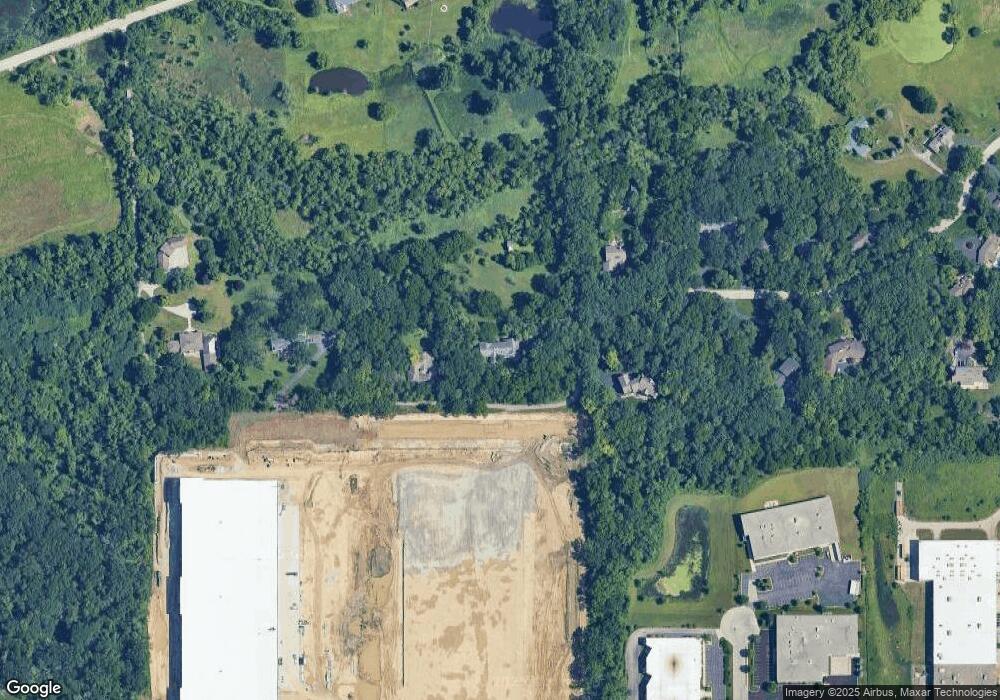
Map
Nearby Homes
- 10 Chateau Dr
- 1121 Forest Dr
- 1223 Ridgeway Dr
- 89 Brookwood Ct
- 36W225 Hickory Hollow Dr
- 36W251 Oak Hill Dr
- 1177 Meadow Ln
- 1235 Meadow Ln
- 936 Glen Oak Dr
- 5 Creekside Cir Unit B
- 997 Meadow Ln
- 1214 Carol Crest Dr
- 41 Lockman Cir Unit 5
- 938 Hillcrest Rd
- 1405 Creekside Ct Unit B
- 1142 Morningside Dr
- 1104 Florimond Dr
- 842 Winmoor Dr
- 1042 Chateau Bluff Ln
- 36W650 Hickory Hollow Dr
- 14N550 Covered Bridge Rd
- 35W590 Tollgate Rd
- 35W495 Chateau Dr W
- 35W490 Chateau Dr W
- 35W530 Tollgate Rd
- 35W450 Chateau Dr W
- 14N546 Covered Bridge Rd
- 35W416 Chateau Dr W
- 35W660 Tollgate Rd
- 35W401 Chateau Dr W
- 35W388 Chateau Dr W
- 35W755 Boncosky Rd
- 35W360 Chateau Dr W
- 35W349 Chateau Dr W
- 35W525 Boncosky Rd
- 35W332 Chateau Dr W
- 35W625 Tollgate Rd
- 35W575 Boncosky Rd
- 35W625 Tollgate Rd
- 35W655 Tollgate Rd