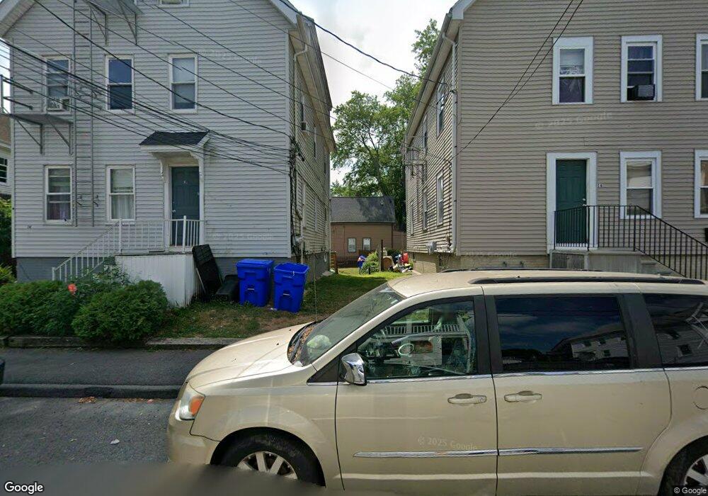
14R Meadow St Taunton, MA 02780
Whittenton NeighborhoodEstimated Value: $329,000 - $367,000
3
Beds
2
Baths
940
Sq Ft
$378/Sq Ft
Est. Value
About This Home
This home is located at 14R Meadow St, Taunton, MA 02780 and is currently estimated at $355,682, approximately $378 per square foot. 14R Meadow St is a home located in Bristol County with nearby schools including Benjamin Friedman Middle School, Joseph C. Chamberlain Elementary School, and Taunton High School.
Ownership History
Date
Name
Owned For
Owner Type
Purchase Details
Closed on
Oct 19, 2001
Sold by
Almeida Patricia M and Ulak Mildred E
Bought by
Shaffer Sally M
Current Estimated Value
Home Financials for this Owner
Home Financials are based on the most recent Mortgage that was taken out on this home.
Original Mortgage
$50,000
Interest Rate
6.92%
Create a Home Valuation Report for This Property
The Home Valuation Report is an in-depth analysis detailing your home's value as well as a comparison with similar homes in the area
Home Values in the Area
Average Home Value in this Area
Purchase History
| Date | Buyer | Sale Price | Title Company |
|---|---|---|---|
| Shaffer Sally M | $135,000 | -- |
Source: Public Records
Mortgage History
| Date | Status | Borrower | Loan Amount |
|---|---|---|---|
| Open | Shaffer Sally M | $156,700 | |
| Closed | Shaffer Sally M | $50,000 | |
| Closed | Shaffer Sally M | $94,500 |
Source: Public Records
Tax History Compared to Growth
Tax History
| Year | Tax Paid | Tax Assessment Tax Assessment Total Assessment is a certain percentage of the fair market value that is determined by local assessors to be the total taxable value of land and additions on the property. | Land | Improvement |
|---|---|---|---|---|
| 2025 | $3,279 | $299,700 | $90,300 | $209,400 |
| 2024 | $2,961 | $264,600 | $90,300 | $174,300 |
| 2023 | $2,919 | $242,200 | $90,300 | $151,900 |
| 2022 | $2,778 | $210,800 | $75,300 | $135,500 |
| 2021 | $2,668 | $187,900 | $68,400 | $119,500 |
| 2020 | $2,571 | $173,000 | $68,400 | $104,600 |
| 2019 | $2,476 | $157,100 | $68,400 | $88,700 |
| 2018 | $2,382 | $151,500 | $67,600 | $83,900 |
| 2017 | $2,148 | $136,700 | $64,100 | $72,600 |
| 2016 | $2,082 | $132,800 | $62,300 | $70,500 |
| 2015 | $2,089 | $139,200 | $63,900 | $75,300 |
| 2014 | $1,961 | $134,200 | $59,400 | $74,800 |
Source: Public Records
Map
Nearby Homes
- 304 Whittenton St
- 426 Whittenton St
- 0 Whittenton St
- 19 Smith St
- 358 Washington St
- 96 Danforth St Unit 25
- 214 Eldridge St
- 427 W Britannia St
- 82 Sunset Dr
- 43 Avon St
- 27 Monroe St
- 28 Madison St
- 33 Monroe St
- 110 Eldridge St Unit B
- 22 John St Unit 22
- 22 Garfield St
- 1 Whittenton St
- 152 Broadway
- 6 Clark Ave
- 79 Fremont St
- 14 Meadow St
- 10 Meadow St
- 16 Meadow St
- 2 Meadow Place
- 12 Meadow St Unit 3
- 12 Meadow St
- 12 Meadow St Unit 1
- 8 Meadow St
- 8 Meadow St Unit 2
- 18 Meadow St
- 10 Meadow St
- 18 Meadow St
- 6 Meadow St
- 6 Meadow St Unit 1
- 20 Meadow St
- 20 Meadow St
- 20 Meadow St Unit 1
- 20 Meadow St
- 20 Meadow St Unit 1
- 20 Meadow St Unit 3