Estimated Value: $287,524 - $348,000
3
Beds
2
Baths
3,156
Sq Ft
$104/Sq Ft
Est. Value
About This Home
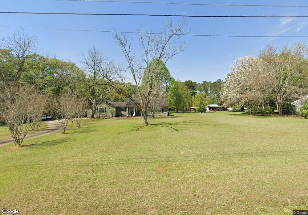
This home is located at 15 23rd St NE, Cairo, GA 39828 and is currently estimated at $326,881, approximately $103 per square foot. 15 23rd St NE is a home located in Grady County with nearby schools including Cairo High School.
Ownership History
Date
Name
Owned For
Owner Type
Purchase Details
Closed on
Nov 22, 2002
Bought by
Roberts Jeromy C
Current Estimated Value
Purchase Details
Closed on
Jun 2, 2000
Sold by
Williams Karen S
Bought by
Cape Jeffrey F
Purchase Details
Closed on
Aug 10, 1992
Bought by
Williams Karen S
Create a Home Valuation Report for This Property
The Home Valuation Report is an in-depth analysis detailing your home's value as well as a comparison with similar homes in the area
Home Values in the Area
Average Home Value in this Area
Purchase History
| Date | Buyer | Sale Price | Title Company |
|---|---|---|---|
| Roberts Jeromy C | $125,500 | -- | |
| Cape Jeffrey F | $95,000 | -- | |
| Williams Karen S | $5,000 | -- |
Source: Public Records
Tax History Compared to Growth
Tax History
| Year | Tax Paid | Tax Assessment Tax Assessment Total Assessment is a certain percentage of the fair market value that is determined by local assessors to be the total taxable value of land and additions on the property. | Land | Improvement |
|---|---|---|---|---|
| 2024 | $4,004 | $103,046 | $5,192 | $97,854 |
| 2023 | $2,516 | $69,630 | $6,400 | $63,230 |
| 2022 | $2,619 | $69,630 | $6,400 | $63,230 |
| 2021 | $2,626 | $69,630 | $6,400 | $63,230 |
| 2020 | $2,633 | $69,630 | $6,400 | $63,230 |
| 2019 | $2,633 | $69,630 | $6,400 | $63,230 |
| 2018 | $2,504 | $69,630 | $6,400 | $63,230 |
| 2017 | $2,408 | $69,630 | $6,400 | $63,230 |
| 2016 | $2,191 | $62,098 | $6,400 | $55,698 |
| 2015 | $2,169 | $62,098 | $6,400 | $55,698 |
| 2014 | $2,170 | $62,098 | $6,400 | $55,698 |
| 2013 | -- | $60,487 | $6,400 | $54,087 |
Source: Public Records
Map
Nearby Homes
- 23 23rd St NE
- 24 23rd St NE
- 2330 Pecan Dr
- 2280 MacIvor Dr NE
- 44 23rd St NE
- 0 Industrial Park Dr
- 2101 Industrial Park Dr
- 2390 Pecan Dr
- 13 24th St NE
- 29 24th St NE
- 37 24th St NE
- 52 22nd St NE
- 55 23rd St NE
- 43 24th St NE
- 26 24th St NE
- 54 23rd St NE
- 10 24th St NE
- 56 22nd St NE
- 34 24th St NE
- 55 24th St NE