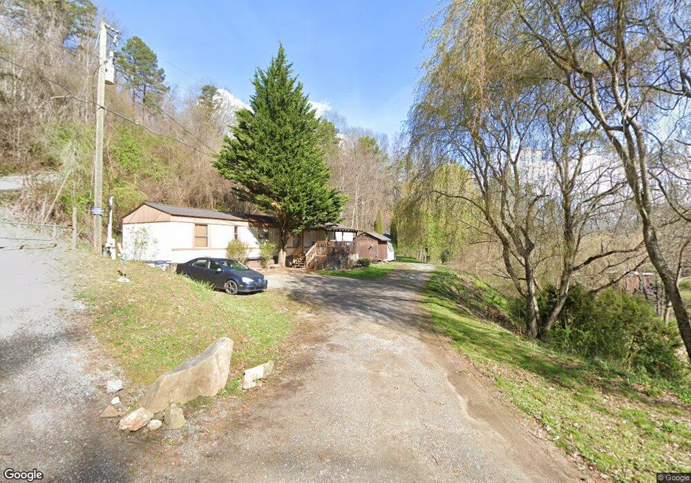
15 & 29 Dalton Ln Canton, NC 28716
Estimated Value: $89,467 - $272,000
3
Beds
2
Baths
1,064
Sq Ft
$176/Sq Ft
Est. Value
About This Home
This home is located at 15 & 29 Dalton Ln, Canton, NC 28716 and is currently estimated at $186,867, approximately $175 per square foot. 15 & 29 Dalton Ln is a home located in Haywood County with nearby schools including Bethel Elementary, Bethel Middle School, and Pisgah High School.
Ownership History
Date
Name
Owned For
Owner Type
Purchase Details
Closed on
Feb 8, 2019
Sold by
Ensley Jeffery E and Ensley Sharmon C
Bought by
Ace Enterprises Llc
Current Estimated Value
Purchase Details
Closed on
Apr 16, 2008
Sold by
Dalton William H and Dalton Kathy H
Bought by
Ensley Jeffery Eric and Ensley Sharmon Chastain
Home Financials for this Owner
Home Financials are based on the most recent Mortgage that was taken out on this home.
Original Mortgage
$64,000
Interest Rate
6.03%
Mortgage Type
Future Advance Clause Open End Mortgage
Create a Home Valuation Report for This Property
The Home Valuation Report is an in-depth analysis detailing your home's value as well as a comparison with similar homes in the area
Home Values in the Area
Average Home Value in this Area
Purchase History
| Date | Buyer | Sale Price | Title Company |
|---|---|---|---|
| Ace Enterprises Llc | -- | None Available | |
| Ensley Jeffery Eric | $80,000 | None Available |
Source: Public Records
Mortgage History
| Date | Status | Borrower | Loan Amount |
|---|---|---|---|
| Previous Owner | Ensley Jeffery Eric | $64,000 |
Source: Public Records
Tax History
| Year | Tax Paid | Tax Assessment Tax Assessment Total Assessment is a certain percentage of the fair market value that is determined by local assessors to be the total taxable value of land and additions on the property. | Land | Improvement |
|---|---|---|---|---|
| 2025 | $320 | $49,600 | $38,900 | $10,700 |
| 2024 | $3 | $49,600 | $38,900 | $10,700 |
| 2023 | $315 | $49,600 | $38,900 | $10,700 |
| 2022 | $308 | $49,600 | $38,900 | $10,700 |
| 2021 | $308 | $49,600 | $38,900 | $10,700 |
| 2020 | $320 | $47,700 | $38,900 | $8,800 |
| 2019 | $320 | $47,700 | $38,900 | $8,800 |
| 2018 | $320 | $47,700 | $38,900 | $8,800 |
| 2017 | $315 | $47,700 | $0 | $0 |
| 2016 | $242 | $37,700 | $0 | $0 |
| 2015 | $242 | $37,700 | $0 | $0 |
| 2014 | $232 | $37,700 | $0 | $0 |
Source: Public Records
Map
Nearby Homes
- 4 Mayapple Ln
- 32 Windy Hill Ln
- 133 Windy Hill Ln
- 1901 Murray Rd
- 600 Scottdale Rd
- 57 Eden Brook Dr
- 99 Thistle Ridge
- 57 Bittersweet Trail
- 706 Ramble Ln
- 800 Murray Rd
- 27 Barkn Cove
- 3760 Pisgah Dr
- 201 Mountain Vista Rd
- 1254 Pisgah Dr
- 36 Kimberly Dr
- 28 Back Stage Pass
- 00 Cove Creek Rd
- 130 Crestview St
- Lot 2 Kuykendall Ln
- 999 Wilson Dr
- 15 Dalton Ln
- 942 Henson Cove Rd
- 3 Dalton Ln
- 850 Henson Cove Rd
- 195 Crooked Trail
- 390 Twin Oaks Rd
- 334 Twin Oaks Rd
- 15 Howards Hollow Rd
- 1041 Henson Cove Rd
- 134 Heritage Trail
- 184 Heritage Trail
- 78 Howards Hollow Rd
- 1063 Henson Cove Rd
- 1106 Henson Cove Rd
- 130 Heritage Trail
- 68 Thorny Knoll Rd
- 36 Dale Earnhardt Dr
- 32 Dale Earnhardt Dr
- 36 Thorny Knoll Rd
- 24 Joe Vance Rd
Your Personal Tour Guide
Ask me questions while you tour the home.