Estimated Value: $350,926 - $397,000
--
Bed
--
Bath
2,209
Sq Ft
$173/Sq Ft
Est. Value
About This Home
This home is located at 15 2nd Ave, West Deptford, NJ 08051 and is currently estimated at $381,982, approximately $172 per square foot. 15 2nd Ave is a home with nearby schools including Green-Fields Elementary School, Oakview Elementary School, and Red Bank Elementary School.
Ownership History
Date
Name
Owned For
Owner Type
Purchase Details
Closed on
Jan 11, 2010
Sold by
Bonner Thomas H and Bonner Andrea
Bought by
Culler Kairi K and Culler Danielle N
Current Estimated Value
Purchase Details
Closed on
Jul 30, 2002
Sold by
Bonner Thomas H and Bonner Andrea
Bought by
Bonner Thomas H
Purchase Details
Closed on
Jun 16, 2000
Sold by
Munyan Thomas H and Munyan Virginia B
Bought by
Bonner Thomas H and Bonner Andrea
Home Financials for this Owner
Home Financials are based on the most recent Mortgage that was taken out on this home.
Original Mortgage
$105,600
Interest Rate
8.24%
Create a Home Valuation Report for This Property
The Home Valuation Report is an in-depth analysis detailing your home's value as well as a comparison with similar homes in the area
Home Values in the Area
Average Home Value in this Area
Purchase History
| Date | Buyer | Sale Price | Title Company |
|---|---|---|---|
| Culler Kairi K | -- | None Available | |
| Bonner Thomas H | -- | -- | |
| Bonner Thomas H | $160,000 | Fidelity National Title Ins |
Source: Public Records
Mortgage History
| Date | Status | Borrower | Loan Amount |
|---|---|---|---|
| Previous Owner | Bonner Thomas H | $105,600 |
Source: Public Records
Tax History Compared to Growth
Tax History
| Year | Tax Paid | Tax Assessment Tax Assessment Total Assessment is a certain percentage of the fair market value that is determined by local assessors to be the total taxable value of land and additions on the property. | Land | Improvement |
|---|---|---|---|---|
| 2025 | $8,569 | $245,400 | $103,000 | $142,400 |
| 2024 | $8,459 | $245,400 | $103,000 | $142,400 |
| 2023 | $8,459 | $245,400 | $103,000 | $142,400 |
| 2022 | $8,420 | $245,400 | $103,000 | $142,400 |
| 2021 | $8,388 | $245,400 | $103,000 | $142,400 |
| 2020 | $8,371 | $245,400 | $103,000 | $142,400 |
| 2019 | $8,137 | $245,400 | $103,000 | $142,400 |
| 2018 | $7,917 | $245,400 | $103,000 | $142,400 |
| 2017 | $7,733 | $245,400 | $103,000 | $142,400 |
| 2016 | $7,517 | $245,400 | $103,000 | $142,400 |
| 2015 | $5,678 | $194,600 | $52,200 | $142,400 |
| 2014 | $5,396 | $194,600 | $52,200 | $142,400 |
Source: Public Records
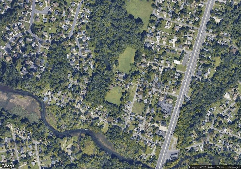
Map
Nearby Homes
- 111 Cove Rd
- 75 Hickory Ave
- 125 Ivy Ln
- 213 Barclay Ct
- 463 Durham Ct
- 411 Durham Ct Unit 411
- 748 Dartmouth Dr
- 827 Saint Regis Ct
- 807 Saint Regis Ct
- 1121 Tristram Cir Unit 1
- 7 Manchester Ct
- 751 Garrison Ct
- 1134 Tristram Cir Unit 4
- 1215 Tristram Cir
- 1145 Tristram Cir
- 1147 Tristram Cir Unit 1147
- 100 Buddy Powell Ln
- 629 Vassar Rd
- 114 Buddy Powell Ln
- 8 Barry Dr