15 2nd St Westport, MA 02790
South Westport NeighborhoodEstimated Value: $458,000 - $560,703
2
Beds
--
Bath
600
Sq Ft
$876/Sq Ft
Est. Value
About This Home
This home is located at 15 2nd St, Westport, MA 02790 and is currently estimated at $525,676, approximately $876 per square foot. 15 2nd St is a home located in Bristol County with nearby schools including Alice A. Macomber Primary School, Westport Elementary School, and Westport Middle-High School.
Ownership History
Date
Name
Owned For
Owner Type
Purchase Details
Closed on
Oct 21, 2019
Sold by
Bliss James H and Bliss Marian C
Bought by
Marian C Bliss Ret
Current Estimated Value
Purchase Details
Closed on
Jan 25, 1999
Sold by
Mcguiness Walter H and Mcguiness Evan M
Bought by
Bliss James H and Bliss Marian C
Create a Home Valuation Report for This Property
The Home Valuation Report is an in-depth analysis detailing your home's value as well as a comparison with similar homes in the area
Home Values in the Area
Average Home Value in this Area
Purchase History
| Date | Buyer | Sale Price | Title Company |
|---|---|---|---|
| Marian C Bliss Ret | -- | -- | |
| Bliss James H | $119,500 | -- |
Source: Public Records
Mortgage History
| Date | Status | Borrower | Loan Amount |
|---|---|---|---|
| Previous Owner | Bliss James H | $63,000 |
Source: Public Records
Tax History
| Year | Tax Paid | Tax Assessment Tax Assessment Total Assessment is a certain percentage of the fair market value that is determined by local assessors to be the total taxable value of land and additions on the property. | Land | Improvement |
|---|---|---|---|---|
| 2025 | $3,187 | $427,800 | $339,900 | $87,900 |
| 2024 | $3,080 | $398,500 | $315,000 | $83,500 |
| 2023 | $2,568 | $314,700 | $240,000 | $74,700 |
| 2022 | $2,611 | $307,900 | $240,000 | $67,900 |
| 2021 | $2,451 | $284,300 | $218,100 | $66,200 |
| 2020 | $2,323 | $275,600 | $209,400 | $66,200 |
| 2019 | $2,139 | $258,600 | $193,700 | $64,900 |
| 2018 | $1,784 | $218,300 | $146,700 | $71,600 |
| 2017 | $1,671 | $209,700 | $146,700 | $63,000 |
| 2016 | $1,618 | $204,500 | $146,700 | $57,800 |
| 2015 | $1,655 | $208,700 | $150,000 | $58,700 |
Source: Public Records
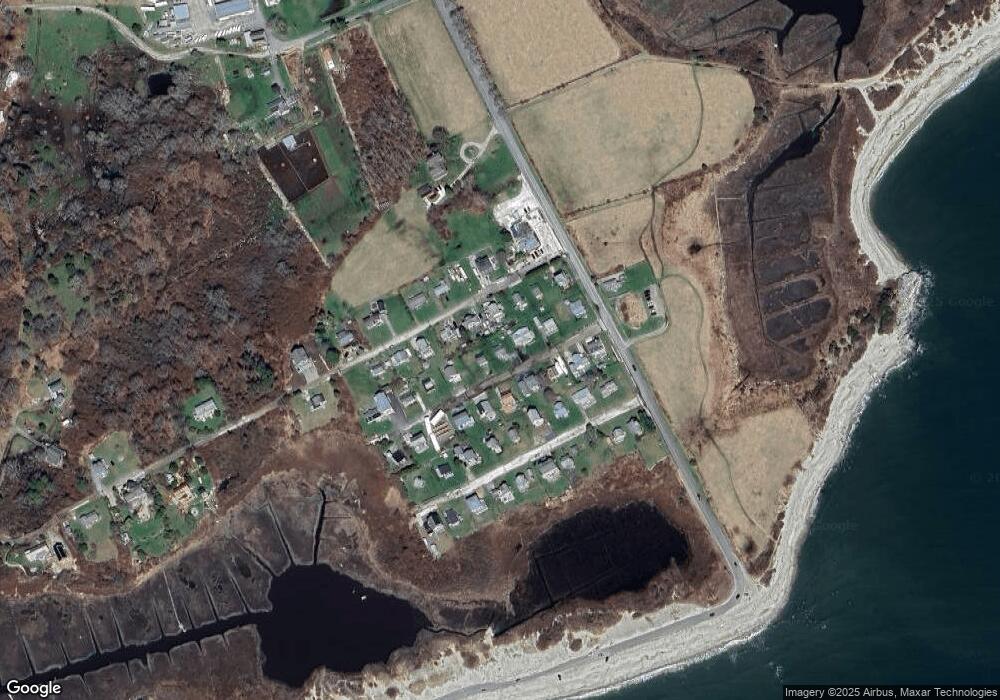
Map
Nearby Homes
- 238-242 E Beach Rd
- Lot 2 Horseneck Rd
- 2 Olin Howland Way
- Lot 2E Horseneck Rd
- 158 Little River Rd
- 1371 Drift Rd
- 332 Division Rd
- Lot 1 Rafael Rd
- 2 Slades Farm Ln
- 482 Smith Neck Rd
- 24 Eagle Dr
- 1150 Russells Mills Rd
- 22 Hetty Green St
- 48 N Shore Dr Unit 3&7
- 920 Drift Rd
- 62 Hetty Green St Unit 62
- 248 Bakerville Rd
- 255 John Dyer Rd
- 101 Adamsville Rd
- 837 Main Road & Lot 2
Your Personal Tour Guide
Ask me questions while you tour the home.