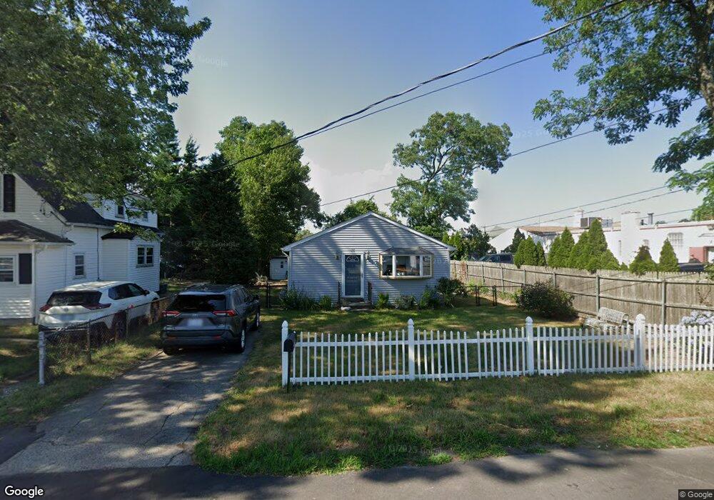
15 4th Ave Warwick, RI 02888
Spring Green NeighborhoodEstimated Value: $353,000 - $392,000
2
Beds
1
Bath
1,365
Sq Ft
$271/Sq Ft
Est. Value
About This Home
This home is located at 15 4th Ave, Warwick, RI 02888 and is currently estimated at $370,464, approximately $271 per square foot. 15 4th Ave is a home located in Kent County with nearby schools including St. Peter School.
Ownership History
Date
Name
Owned For
Owner Type
Purchase Details
Closed on
Dec 15, 2005
Sold by
Shepherd Duane and Shepherd Marci
Bought by
Zahora Kimberly L
Current Estimated Value
Home Financials for this Owner
Home Financials are based on the most recent Mortgage that was taken out on this home.
Original Mortgage
$194,750
Outstanding Balance
$108,654
Interest Rate
6.34%
Mortgage Type
Purchase Money Mortgage
Estimated Equity
$261,810
Purchase Details
Closed on
Apr 21, 1998
Sold by
Spooner Michael R
Bought by
Shepard Duane and Manning Carolyn J
Home Financials for this Owner
Home Financials are based on the most recent Mortgage that was taken out on this home.
Original Mortgage
$62,372
Interest Rate
7.11%
Mortgage Type
Purchase Money Mortgage
Purchase Details
Closed on
Jun 30, 1994
Sold by
Brindle David L
Bought by
Spooner Michael R
Create a Home Valuation Report for This Property
The Home Valuation Report is an in-depth analysis detailing your home's value as well as a comparison with similar homes in the area
Home Values in the Area
Average Home Value in this Area
Purchase History
| Date | Buyer | Sale Price | Title Company |
|---|---|---|---|
| Zahora Kimberly L | $205,000 | -- | |
| Shepard Duane | $63,000 | -- | |
| Spooner Michael R | $40,000 | -- |
Source: Public Records
Mortgage History
| Date | Status | Borrower | Loan Amount |
|---|---|---|---|
| Open | Spooner Michael R | $194,750 | |
| Previous Owner | Spooner Michael R | $118,700 | |
| Previous Owner | Spooner Michael R | $62,372 | |
| Previous Owner | Spooner Michael R | $53,250 |
Source: Public Records
Tax History
| Year | Tax Paid | Tax Assessment Tax Assessment Total Assessment is a certain percentage of the fair market value that is determined by local assessors to be the total taxable value of land and additions on the property. | Land | Improvement |
|---|---|---|---|---|
| 2025 | $3,909 | $307,800 | $105,500 | $202,300 |
| 2024 | $3,549 | $245,300 | $91,700 | $153,600 |
| 2023 | $3,481 | $245,300 | $91,700 | $153,600 |
| 2022 | $3,171 | $169,300 | $54,700 | $114,600 |
| 2021 | $3,171 | $169,300 | $54,700 | $114,600 |
| 2020 | $3,171 | $169,300 | $54,700 | $114,600 |
| 2019 | $3,171 | $169,300 | $54,700 | $114,600 |
| 2018 | $2,538 | $122,000 | $48,600 | $73,400 |
| 2017 | $2,469 | $122,000 | $48,600 | $73,400 |
| 2016 | $2,469 | $122,000 | $48,600 | $73,400 |
| 2015 | $2,444 | $117,800 | $53,200 | $64,600 |
| 2014 | $2,363 | $117,800 | $53,200 | $64,600 |
| 2013 | $2,331 | $117,800 | $53,200 | $64,600 |
Source: Public Records
Map
Nearby Homes
- 15 Christopher Rhodes Way
- 6 Christopher Rhodes Way
- 20 Commodore Ave
- 52 Dahlia St
- 63 Benbridge Ave
- 1020 Warwick Ave
- 39 Holiday Ave
- 213 Easton Ave
- 72 W Shore Rd Unit 3
- 821 Post Rd
- 1052 Post Rd
- 33 Recess Ln
- 49 Recess Ln
- 14 Recess Ln
- 56 Errol St
- 408 Fair St
- 34 N Country Club Dr
- 55 Dixie Ave
- 80 George St
- 80 Twin Oak Dr
Your Personal Tour Guide
Ask me questions while you tour the home.