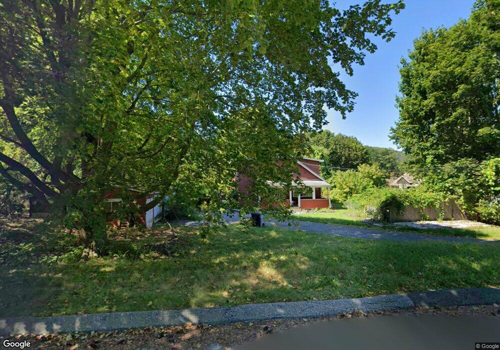
15 A St North Adams, MA 01247
Estimated Value: $218,000 - $270,000
2
Beds
1
Bath
1,448
Sq Ft
$172/Sq Ft
Est. Value
About This Home
This home is located at 15 A St, North Adams, MA 01247 and is currently estimated at $248,681, approximately $171 per square foot. 15 A St is a home located in Berkshire County with nearby schools including Brayton Elementary School, Drury High School, and Berkshire Arts & Technology Charter Public School.
Ownership History
Date
Name
Owned For
Owner Type
Purchase Details
Closed on
Apr 29, 2009
Sold by
Department Of Housing & Urban Dev
Bought by
Clark Kent P
Current Estimated Value
Home Financials for this Owner
Home Financials are based on the most recent Mortgage that was taken out on this home.
Original Mortgage
$85,000
Outstanding Balance
$53,734
Interest Rate
4.86%
Mortgage Type
Purchase Money Mortgage
Estimated Equity
$194,947
Purchase Details
Closed on
Jul 11, 2008
Sold by
National City Re Svcs
Bought by
Department Of Housing & Urban Dev
Purchase Details
Closed on
Jun 25, 2008
Sold by
Fisher Edward E and National City Re Svcs
Bought by
National City Re Svcs
Purchase Details
Closed on
Dec 6, 2002
Sold by
Spooner Frederick W and Spooner Judy L
Bought by
Fischer Edward C
Create a Home Valuation Report for This Property
The Home Valuation Report is an in-depth analysis detailing your home's value as well as a comparison with similar homes in the area
Home Values in the Area
Average Home Value in this Area
Purchase History
| Date | Buyer | Sale Price | Title Company |
|---|---|---|---|
| Clark Kent P | $54,459 | -- | |
| Department Of Housing & Urban Dev | -- | -- | |
| National City Re Svcs | $116,516 | -- | |
| Fischer Edward C | $105,000 | -- | |
| Clark Kent P | $54,459 | -- | |
| Department Of Housing & Urban Dev | -- | -- | |
| National City Re Svcs | $116,516 | -- | |
| Fischer Edward C | $105,000 | -- |
Source: Public Records
Mortgage History
| Date | Status | Borrower | Loan Amount |
|---|---|---|---|
| Open | Clark Kent P | $85,000 | |
| Closed | Fischer Edward C | $85,000 |
Source: Public Records
Tax History Compared to Growth
Tax History
| Year | Tax Paid | Tax Assessment Tax Assessment Total Assessment is a certain percentage of the fair market value that is determined by local assessors to be the total taxable value of land and additions on the property. | Land | Improvement |
|---|---|---|---|---|
| 2025 | $3,397 | $203,300 | $33,900 | $169,400 |
| 2024 | $3,188 | $186,000 | $31,000 | $155,000 |
| 2023 | $3,057 | $173,000 | $31,000 | $142,000 |
| 2022 | $2,768 | $149,400 | $31,000 | $118,400 |
| 2021 | $2,576 | $138,400 | $28,700 | $109,700 |
| 2020 | $2,471 | $132,700 | $28,600 | $104,100 |
| 2019 | $2,372 | $124,100 | $28,600 | $95,500 |
| 2018 | $2,279 | $124,000 | $30,100 | $93,900 |
| 2017 | $2,168 | $122,700 | $29,800 | $92,900 |
| 2016 | $2,236 | $128,600 | $29,800 | $98,800 |
| 2015 | $2,163 | $129,600 | $30,800 | $98,800 |
Source: Public Records
Map
Nearby Homes
- 17 A St
- 1268 Curran Hwy
- 0 Ashland St Unit 245228
- 14 Apache Dr
- 388 Ashland St Unit 1
- 153 Corinth St
- 54 Pinehill Terrace
- 235 Kemp Ave
- 100 Autumn Dr
- 921 Mohawk Trail
- 350 Mohawk Trail
- parcel 1 Mohawk Trail
- Parcel 2 Mohawk Trail
- 0 Oak Hill Unit 237953
- 30 Dover St
- 31 Dover St
- 11-15 Perry St
- 301 Walnut St
- 297 Walnut St
- 132 E Quincy St