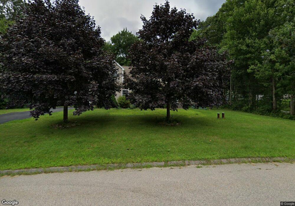
15 Adamo Ave Oakdale, CT 06370
Estimated Value: $509,981 - $583,000
4
Beds
3
Baths
2,448
Sq Ft
$227/Sq Ft
Est. Value
About This Home
This home is located at 15 Adamo Ave, Oakdale, CT 06370 and is currently estimated at $555,495, approximately $226 per square foot. 15 Adamo Ave is a home located in New London County with nearby schools including Leonard J. Tyl Middle School and Montville High School.
Ownership History
Date
Name
Owned For
Owner Type
Purchase Details
Closed on
Jan 10, 2008
Sold by
Grile Dennis R
Bought by
Xu Sui Sheng and Xu Jenny Jing-Ying
Current Estimated Value
Home Financials for this Owner
Home Financials are based on the most recent Mortgage that was taken out on this home.
Original Mortgage
$160,000
Interest Rate
6.21%
Purchase Details
Closed on
Oct 7, 2002
Sold by
Hartens Pond Llc
Bought by
Kitchen Gallery Bldrs
Create a Home Valuation Report for This Property
The Home Valuation Report is an in-depth analysis detailing your home's value as well as a comparison with similar homes in the area
Home Values in the Area
Average Home Value in this Area
Purchase History
| Date | Buyer | Sale Price | Title Company |
|---|---|---|---|
| Xu Sui Sheng | $333,999 | -- | |
| Xu Sui Sheng | $333,999 | -- | |
| Kitchen Gallery Bldrs | $65,000 | -- | |
| Kitchen Gallery Bldrs | $65,000 | -- |
Source: Public Records
Mortgage History
| Date | Status | Borrower | Loan Amount |
|---|---|---|---|
| Open | Kitchen Gallery Bldrs | $140,459 | |
| Closed | Kitchen Gallery Bldrs | $160,000 | |
| Previous Owner | Kitchen Gallery Bldrs | $279,000 |
Source: Public Records
Tax History Compared to Growth
Tax History
| Year | Tax Paid | Tax Assessment Tax Assessment Total Assessment is a certain percentage of the fair market value that is determined by local assessors to be the total taxable value of land and additions on the property. | Land | Improvement |
|---|---|---|---|---|
| 2025 | $7,134 | $247,100 | $33,600 | $213,500 |
| 2024 | $6,862 | $247,100 | $33,600 | $213,500 |
| 2023 | $6,862 | $247,100 | $33,600 | $213,500 |
| 2022 | $6,600 | $247,100 | $33,600 | $213,500 |
| 2021 | $6,545 | $206,130 | $34,510 | $171,620 |
| 2020 | $6,674 | $206,130 | $34,510 | $171,620 |
| 2019 | $6,701 | $206,130 | $34,510 | $171,620 |
| 2018 | $6,541 | $206,130 | $34,500 | $171,630 |
| 2017 | $6,534 | $206,130 | $34,500 | $171,630 |
| 2016 | $6,385 | $208,590 | $43,200 | $165,390 |
| 2015 | $6,385 | $208,590 | $43,200 | $165,390 |
| 2014 | $6,126 | $208,590 | $43,200 | $165,390 |
Source: Public Records
Map
Nearby Homes
- 995 Old Colchester Rd
- 94 Massachusetts Rd
- 49 Pennsylvania Ave
- 1300 Old Colchester Rd
- 79 Cottonwood Ln
- 49 Cottonwood Ln
- 727 Old Colchester Rd
- 15 Forsyth Rd
- 636 Connecticut 163
- 385 Oxoboxo Dam Rd
- 36 Beechwood Rd
- 82C Pires Dr
- 523 Route 163
- 33D Laurel Point Dr
- 89 Sharp Hill Rd
- 33A Laurel Point Dr
- 45 Lynch Hill Rd
- 63 Velgouse Rd
- 1399 Route 163
- 8 Eddy Ct