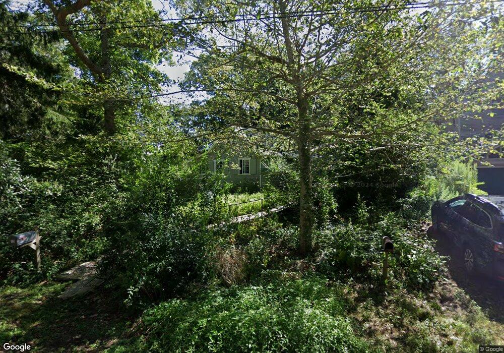
15 Agassiz Rd Woods Hole, MA 02543
Woods Hole NeighborhoodEstimated Value: $1,115,000 - $1,365,000
2
Beds
3
Baths
1,368
Sq Ft
$942/Sq Ft
Est. Value
About This Home
This home is located at 15 Agassiz Rd, Woods Hole, MA 02543 and is currently estimated at $1,289,329, approximately $942 per square foot. 15 Agassiz Rd is a home located in Barnstable County with nearby schools including Mullen-Hall School, Lawrence School, and Morse Pond School.
Ownership History
Date
Name
Owned For
Owner Type
Purchase Details
Closed on
Jan 22, 2009
Sold by
Chester Mark S
Bought by
Pace Paula L and Sawyer Donna M
Current Estimated Value
Home Financials for this Owner
Home Financials are based on the most recent Mortgage that was taken out on this home.
Original Mortgage
$300,000
Outstanding Balance
$192,122
Interest Rate
5.51%
Mortgage Type
Purchase Money Mortgage
Estimated Equity
$1,097,207
Create a Home Valuation Report for This Property
The Home Valuation Report is an in-depth analysis detailing your home's value as well as a comparison with similar homes in the area
Home Values in the Area
Average Home Value in this Area
Purchase History
| Date | Buyer | Sale Price | Title Company |
|---|---|---|---|
| Pace Paula L | $587,500 | -- | |
| Pace Paula L | $587,500 | -- |
Source: Public Records
Mortgage History
| Date | Status | Borrower | Loan Amount |
|---|---|---|---|
| Open | Pace Paula L | $300,000 | |
| Closed | Pace Paula L | $300,000 |
Source: Public Records
Tax History Compared to Growth
Tax History
| Year | Tax Paid | Tax Assessment Tax Assessment Total Assessment is a certain percentage of the fair market value that is determined by local assessors to be the total taxable value of land and additions on the property. | Land | Improvement |
|---|---|---|---|---|
| 2025 | $6,498 | $1,106,900 | $786,900 | $320,000 |
| 2024 | $6,308 | $1,004,400 | $715,400 | $289,000 |
| 2023 | $5,394 | $779,500 | $528,700 | $250,800 |
| 2022 | $5,469 | $679,400 | $482,200 | $197,200 |
| 2021 | $5,395 | $634,700 | $461,200 | $173,500 |
| 2020 | $5,092 | $592,800 | $419,300 | $173,500 |
| 2019 | $5,039 | $588,700 | $419,300 | $169,400 |
| 2018 | $5,032 | $575,100 | $419,300 | $155,800 |
| 2017 | $4,873 | $571,300 | $419,300 | $152,000 |
| 2016 | $4,726 | $564,600 | $419,300 | $145,300 |
| 2015 | $4,624 | $564,600 | $419,300 | $145,300 |
| 2014 | $4,738 | $581,300 | $436,700 | $144,600 |
Source: Public Records
Map
Nearby Homes
- 54 Whitman Rd
- 82 Harbor Hill Rd
- 10 Quissett Ave
- 5 Park Rd
- 29 Wilson Rd
- 9 Strawberry Hill Rd
- 9 Strawberry Hill Rd
- 533 Woods Hole Rd Unit B101
- 533 Woods Hole Rd Unit D101
- 533 Woods Hole Rd Unit B102
- 533 Woods Hole Rd Unit E202
- 533 Woods Hole Rd Unit E301
- 14 School St
- 76 F r Lillie Rd
- 251 Woods Hole Rd
- 44 Carey Ln
- 87 Oyster Pond Rd
- 38 Landfall Unit 38
- 38 Landfall