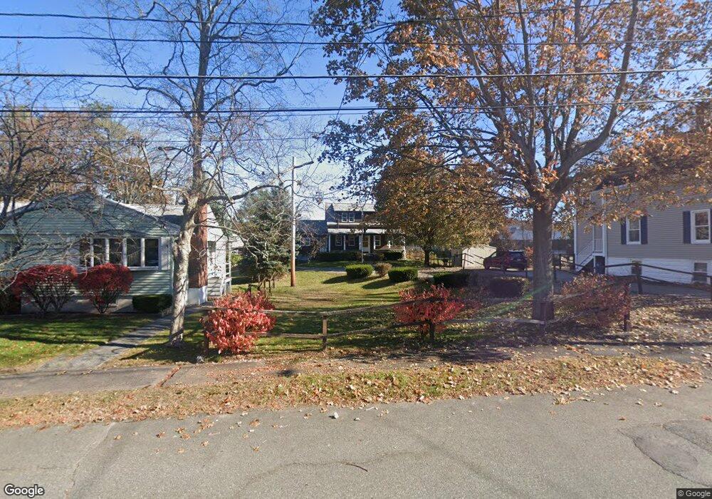
15 Albion Ave Stoneham, MA 02180
Lindenwood NeighborhoodEstimated Value: $658,000 - $771,022
3
Beds
3
Baths
1,418
Sq Ft
$518/Sq Ft
Est. Value
About This Home
This home is located at 15 Albion Ave, Stoneham, MA 02180 and is currently estimated at $734,006, approximately $517 per square foot. 15 Albion Ave is a home located in Middlesex County with nearby schools including Stoneham High School, St. Patrick Elementary School, and Greater Boston Academy.
Ownership History
Date
Name
Owned For
Owner Type
Purchase Details
Closed on
Sep 22, 2023
Sold by
Reynolds William E
Bought by
15 Albion Avenue Rt and Reynolds
Current Estimated Value
Purchase Details
Closed on
Oct 24, 2014
Sold by
Madeline T Reynolds Ir T and Madeline Reynolds
Bought by
Reynolds William E
Purchase Details
Closed on
Jan 13, 2012
Sold by
Reynolds Madeline T
Bought by
Madeline T Reynolds Ir T and Madeline Reynolds
Purchase Details
Closed on
Aug 13, 1962
Bought by
Reynolds William E
Create a Home Valuation Report for This Property
The Home Valuation Report is an in-depth analysis detailing your home's value as well as a comparison with similar homes in the area
Home Values in the Area
Average Home Value in this Area
Purchase History
| Date | Buyer | Sale Price | Title Company |
|---|---|---|---|
| 15 Albion Avenue Rt | -- | None Available | |
| Reynolds William E | -- | -- | |
| Madeline T Reynolds Ir T | -- | -- | |
| Reynolds William E | -- | -- |
Source: Public Records
Tax History
| Year | Tax Paid | Tax Assessment Tax Assessment Total Assessment is a certain percentage of the fair market value that is determined by local assessors to be the total taxable value of land and additions on the property. | Land | Improvement |
|---|---|---|---|---|
| 2025 | $7,019 | $686,100 | $400,300 | $285,800 |
| 2024 | $6,715 | $634,100 | $370,300 | $263,800 |
| 2023 | $6,545 | $589,600 | $340,300 | $249,300 |
| 2022 | $5,673 | $545,000 | $310,300 | $234,700 |
| 2021 | $6,778 | $521,100 | $290,300 | $230,800 |
| 2020 | $5,474 | $507,300 | $280,300 | $227,000 |
| 2019 | $3,837 | $481,200 | $260,300 | $220,900 |
| 2018 | $3,766 | $450,300 | $240,300 | $210,000 |
| 2017 | $3,686 | $429,600 | $230,300 | $199,300 |
| 2016 | $5,255 | $413,800 | $230,300 | $183,500 |
| 2015 | $5,242 | $404,500 | $230,300 | $174,200 |
| 2014 | $5,047 | $374,100 | $210,300 | $163,800 |
Source: Public Records
Map
Nearby Homes
- 1 Tremont St
- 159 Main St Unit 39A
- 159 Main St Unit 41C
- 159 Main St Unit 12B
- 49 Butler Ave
- 21 Tremont St Unit B
- 21 Tremont St Unit A
- 8 Steele St
- 12 Cottage St
- 1 Alden Ave
- 98 Main St Unit 2
- 62 High St Unit Lot 8
- 62 High St Unit 4
- 62 High St Unit Lot 5
- 6 Sherman Rd
- 200 Ledgewood Dr Unit 505
- 100 Ledgewood Dr Unit 117
- 35 Wright St
- 97 Oak St
- 66 Main St Unit 16A