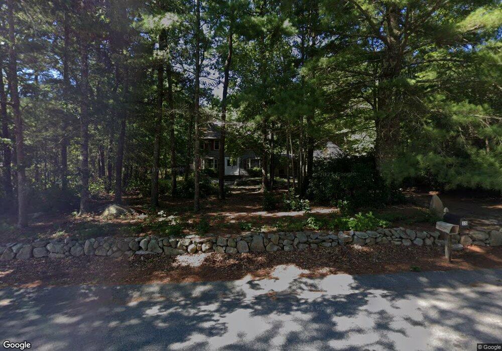
15 Algonquin Way East Freetown, MA 02717
Estimated Value: $662,557 - $700,000
4
Beds
2
Baths
2,352
Sq Ft
$292/Sq Ft
Est. Value
About This Home
This home is located at 15 Algonquin Way, East Freetown, MA 02717 and is currently estimated at $686,139, approximately $291 per square foot. 15 Algonquin Way is a home located in Bristol County with nearby schools including Freetown Elementary School, George R Austin Intermediate School, and Freetown-Lakeville Middle School.
Ownership History
Date
Name
Owned For
Owner Type
Purchase Details
Closed on
Dec 15, 2023
Sold by
Furtado Ft and Furtado
Bought by
Hoey David T and Hoey Lauen M
Current Estimated Value
Home Financials for this Owner
Home Financials are based on the most recent Mortgage that was taken out on this home.
Original Mortgage
$395,000
Outstanding Balance
$388,124
Interest Rate
7.76%
Mortgage Type
Purchase Money Mortgage
Estimated Equity
$298,015
Purchase Details
Closed on
Mar 30, 2020
Sold by
Furtado William and Furtado Susan E
Bought by
Furtado Ft
Purchase Details
Closed on
Oct 14, 1987
Sold by
O'Connell Dennis P
Bought by
Furtado William
Home Financials for this Owner
Home Financials are based on the most recent Mortgage that was taken out on this home.
Original Mortgage
$90,000
Interest Rate
10.63%
Mortgage Type
Purchase Money Mortgage
Create a Home Valuation Report for This Property
The Home Valuation Report is an in-depth analysis detailing your home's value as well as a comparison with similar homes in the area
Home Values in the Area
Average Home Value in this Area
Purchase History
| Date | Buyer | Sale Price | Title Company |
|---|---|---|---|
| Hoey David T | $495,000 | None Available | |
| Furtado Ft | -- | None Available | |
| Furtado William | $187,000 | -- |
Source: Public Records
Mortgage History
| Date | Status | Borrower | Loan Amount |
|---|---|---|---|
| Open | Hoey David T | $395,000 | |
| Previous Owner | Furtado William | $76,000 | |
| Previous Owner | Furtado William | $90,000 | |
| Previous Owner | Furtado William | $90,000 |
Source: Public Records
Tax History Compared to Growth
Tax History
| Year | Tax Paid | Tax Assessment Tax Assessment Total Assessment is a certain percentage of the fair market value that is determined by local assessors to be the total taxable value of land and additions on the property. | Land | Improvement |
|---|---|---|---|---|
| 2025 | $5,838 | $589,100 | $180,500 | $408,600 |
| 2024 | $5,648 | $541,500 | $170,300 | $371,200 |
| 2023 | $5,502 | $513,700 | $153,300 | $360,400 |
| 2022 | $5,239 | $434,400 | $129,900 | $304,500 |
| 2021 | $5,067 | $399,000 | $118,100 | $280,900 |
| 2020 | $5,032 | $386,500 | $113,600 | $272,900 |
| 2019 | $4,745 | $360,800 | $108,200 | $252,600 |
| 2018 | $4,485 | $337,000 | $108,200 | $228,800 |
| 2017 | $4,346 | $326,300 | $108,200 | $218,100 |
| 2016 | $4,148 | $316,900 | $105,100 | $211,800 |
| 2015 | $4,035 | $312,800 | $105,100 | $207,700 |
| 2014 | $3,854 | $305,600 | $102,900 | $202,700 |
Source: Public Records
Map
Nearby Homes
- 144 Chace Rd
- 150 Quanapoag Rd
- Lot 2/3 Quanapoag Rd
- 0 Costa Dr
- 599 Quanapoag Rd
- 195 Slab Bridge Rd
- 1475 Braley Rd Unit 17
- 264 Collins Corner Rd
- 13 Luscomb Ln
- 16 Swallow St
- 4597 Acushnet Ave
- 1069 Cherokee St
- 353 Upland St
- 64 Blaze Rd
- 300 High Hill Rd
- 319 Northwest St
- 210 Heritage Dr
- 34 Poplar Rd
- 145 Heritage Dr
- 24 Bells Brook Rd
- 13 Algonquin Way
- 4 Wamsutta Way
- 135 Bullock Rd
- 137 Bullock Rd
- 133 Bullock Rd
- 11 Algonquin Way
- 14 Algonquin Way
- 16 Algonquin Way
- 18 Algonquin Way
- 139 Bullock Rd
- 5 Wamsutta Way
- 12 Algonquin Way
- 9 Algonquin Way
- 129 Bullock Rd
- 132 Bullock Rd
- 152 Chipaway Rd
- 10 Algonquin Way
- 130 Bullock Rd
- 21 Algonquin Way
- 7 Algonquin Way