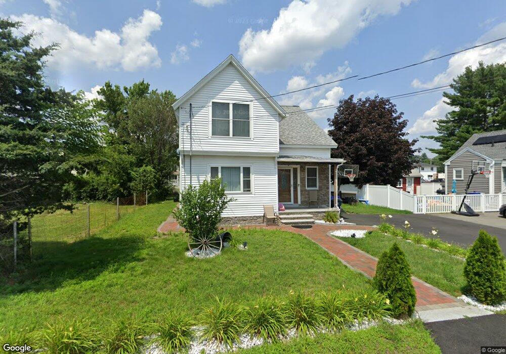
15 Ames St Methuen, MA 01844
The East End NeighborhoodEstimated Value: $479,000 - $549,000
3
Beds
1
Bath
1,582
Sq Ft
$327/Sq Ft
Est. Value
About This Home
This home is located at 15 Ames St, Methuen, MA 01844 and is currently estimated at $516,618, approximately $326 per square foot. 15 Ames St is a home located in Essex County with nearby schools including Timony Grammar School, Methuen High School, and Community Day Charter Public School - Gateway.
Ownership History
Date
Name
Owned For
Owner Type
Purchase Details
Closed on
Jul 11, 2019
Sold by
Megna Antonella J
Bought by
Megna Antonella J and Megna Paolo
Current Estimated Value
Home Financials for this Owner
Home Financials are based on the most recent Mortgage that was taken out on this home.
Original Mortgage
$253,100
Outstanding Balance
$220,784
Interest Rate
3.82%
Mortgage Type
New Conventional
Estimated Equity
$295,834
Purchase Details
Closed on
Apr 10, 2015
Sold by
Difruscio Domenic and Difruscia Gerard A
Bought by
Megna Antonella J
Home Financials for this Owner
Home Financials are based on the most recent Mortgage that was taken out on this home.
Original Mortgage
$206,196
Interest Rate
3.77%
Mortgage Type
FHA
Create a Home Valuation Report for This Property
The Home Valuation Report is an in-depth analysis detailing your home's value as well as a comparison with similar homes in the area
Home Values in the Area
Average Home Value in this Area
Purchase History
| Date | Buyer | Sale Price | Title Company |
|---|---|---|---|
| Megna Antonella J | -- | -- | |
| Megna Antonella J | -- | -- | |
| Megna Antonella J | -- | -- | |
| Megna Antonella J | $210,000 | -- |
Source: Public Records
Mortgage History
| Date | Status | Borrower | Loan Amount |
|---|---|---|---|
| Open | Megna Antonella J | $253,100 | |
| Closed | Megna Antonella J | $253,100 | |
| Previous Owner | Megna Antonella J | $206,196 |
Source: Public Records
Tax History Compared to Growth
Tax History
| Year | Tax Paid | Tax Assessment Tax Assessment Total Assessment is a certain percentage of the fair market value that is determined by local assessors to be the total taxable value of land and additions on the property. | Land | Improvement |
|---|---|---|---|---|
| 2025 | $4,431 | $418,800 | $201,200 | $217,600 |
| 2024 | $4,273 | $393,500 | $175,900 | $217,600 |
| 2023 | $4,027 | $344,200 | $154,800 | $189,400 |
| 2022 | $3,824 | $293,000 | $126,600 | $166,400 |
| 2021 | $3,590 | $272,200 | $119,600 | $152,600 |
| 2020 | $3,566 | $265,300 | $119,600 | $145,700 |
| 2019 | $3,532 | $248,900 | $112,600 | $136,300 |
| 2018 | $3,352 | $234,900 | $105,500 | $129,400 |
| 2017 | $3,122 | $213,100 | $98,500 | $114,600 |
| 2016 | $3,052 | $206,100 | $91,500 | $114,600 |
| 2015 | -- | $197,500 | $91,500 | $106,000 |
Source: Public Records
Map
Nearby Homes
- 29 Wallace St
- 23 Constitution Way Unit 23
- 23 Constitution Way
- 2 Goodrich Ave
- 95 Pilgrim Cir Unit 95
- 45 Christopher Dr Unit 101
- 17 Ferry Rd
- 86 Comet Rd
- 27 Russell Farm Dr
- 128 Pleasant Valley St
- 49 Golf Ave
- 122 Pleasant Valley St
- 46 Oneida St
- 50 Woburn St
- 6 Aberdeen Rd
- 3 Thissell St
- 115 Merrimack Rd
- 5 Harmony Ln
- 107 Farrwood Dr Unit 107
- 4 Alderbrook Ln