15 Anderson Ln Sheridan, WY 82801
Estimated Value: $462,000 - $599,000
3
Beds
2
Baths
1,216
Sq Ft
$427/Sq Ft
Est. Value
About This Home
This home is located at 15 Anderson Ln, Sheridan, WY 82801 and is currently estimated at $519,380, approximately $427 per square foot. 15 Anderson Ln is a home.
Ownership History
Date
Name
Owned For
Owner Type
Purchase Details
Closed on
Apr 25, 2013
Sold by
Anderson Kenneth A and Anderson Revocable T Kenneth A
Bought by
Johansson Lars Christer and Johansson Gina M
Current Estimated Value
Home Financials for this Owner
Home Financials are based on the most recent Mortgage that was taken out on this home.
Original Mortgage
$205,000
Outstanding Balance
$146,498
Interest Rate
3.67%
Mortgage Type
New Conventional
Estimated Equity
$372,882
Create a Home Valuation Report for This Property
The Home Valuation Report is an in-depth analysis detailing your home's value as well as a comparison with similar homes in the area
Home Values in the Area
Average Home Value in this Area
Purchase History
| Date | Buyer | Sale Price | Title Company |
|---|---|---|---|
| Johansson Lars Christer | -- | None Available |
Source: Public Records
Mortgage History
| Date | Status | Borrower | Loan Amount |
|---|---|---|---|
| Open | Johansson Lars Christer | $205,000 |
Source: Public Records
Tax History Compared to Growth
Tax History
| Year | Tax Paid | Tax Assessment Tax Assessment Total Assessment is a certain percentage of the fair market value that is determined by local assessors to be the total taxable value of land and additions on the property. | Land | Improvement |
|---|---|---|---|---|
| 2025 | $2,589 | $30,768 | $10,568 | $20,200 |
| 2024 | $2,589 | $38,359 | $14,090 | $24,269 |
| 2023 | $2,316 | $38,287 | $13,112 | $25,175 |
| 2022 | $2,316 | $34,306 | $10,764 | $23,542 |
| 2021 | $1,919 | $28,430 | $9,100 | $19,330 |
| 2020 | $1,619 | $26,484 | $7,339 | $19,145 |
| 2019 | $1,619 | $25,257 | $7,339 | $17,918 |
| 2018 | $1,593 | $23,597 | $6,850 | $16,747 |
| 2017 | $0 | $23,281 | $6,654 | $16,627 |
| 2015 | -- | $21,789 | $4,819 | $16,970 |
| 2014 | -- | $22,007 | $4,819 | $17,188 |
| 2013 | -- | $24,097 | $4,819 | $19,278 |
Source: Public Records
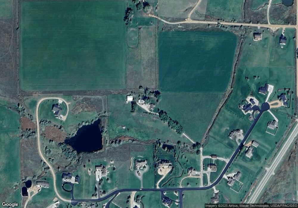
Map
Nearby Homes
- 91 Wyoming 335
- 8 Buckskin Dr
- 19 Spring Creek Ln
- 21 Wishbone Way
- 20 Roberts Dr
- 3 Thunderbird Dr
- 96 Canvasback Rd
- 5 Oakmont Ct
- Tbd Wagon Wheel Court Lot F11
- Tbd Wagon Wheel Ct Lot F10 & F11
- 3 Mallard Rd
- TBD Wagon Wheel Ct Unit F10
- TBD Wagon Wheel Ct Unit F11
- TBD Wagon Wheel Ct Unit Lot 1
- TBD Wagon Wheel Ct Unit Lot 2
- 4 Mallard Rd
- 7 Mallard Rd
- 1 Deer Haven Dr
- 40 Mallard Rd
- 21 Eagle Ridge Dr
- 1129 Cross Creek Ct
- 1125 Cross Creek Ct
- 1121 Cross Creek Ct
- 1131 Cross Creek Ct
- Lot 13 Cross Creek Ct
- 0 Cross Creek Ct Unit Lot 15
- Lot 2 Cross Creek Ct
- Lot 3 Cross Creek Ct
- Lot 1 Cross Creek Ct
- 1135 Cross Creek Ct
- 1133 Cross Creek Ct
- 1130 Cross Creek Ct
- 1137 Cross Creek Ct
- 1128 Cross Creek Ct
- 1123 Cross Creek Ct
- 1126 Cross Creek Ct
- 1136 Cross Creek Ct
- 1124 Cross Creek Ct
- 1139 Cross Creek Ct
- 1134 Cross Creek Ct