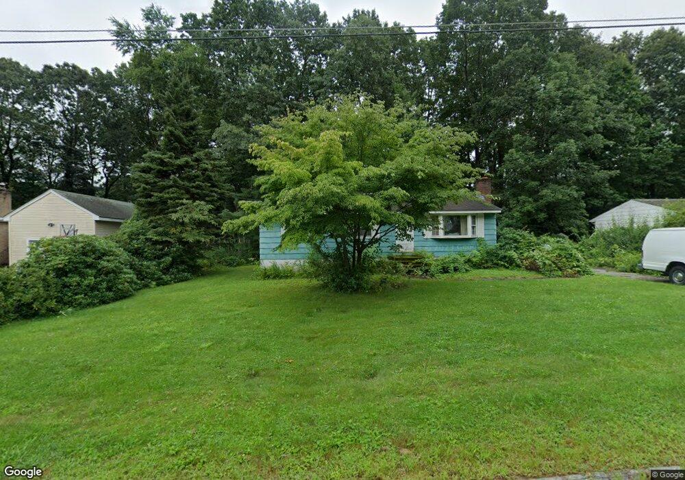
15 Anthony Dr Rutland, MA 01543
Estimated Value: $357,000 - $385,000
3
Beds
1
Bath
1,056
Sq Ft
$352/Sq Ft
Est. Value
About This Home
This home is located at 15 Anthony Dr, Rutland, MA 01543 and is currently estimated at $371,581, approximately $351 per square foot. 15 Anthony Dr is a home located in Worcester County with nearby schools including Wachusett Regional High School.
Ownership History
Date
Name
Owned For
Owner Type
Purchase Details
Closed on
Nov 18, 2024
Sold by
Holland Mark
Bought by
Charbonneau Marion
Current Estimated Value
Purchase Details
Closed on
Oct 7, 2024
Sold by
Charbonneau Marion
Bought by
Holland Mark
Purchase Details
Closed on
Dec 2, 2009
Sold by
Charbonneau Ruth V
Bought by
Charbonneau Marion
Purchase Details
Closed on
Dec 8, 1967
Bought by
Charbonneau Marion
Create a Home Valuation Report for This Property
The Home Valuation Report is an in-depth analysis detailing your home's value as well as a comparison with similar homes in the area
Home Values in the Area
Average Home Value in this Area
Purchase History
| Date | Buyer | Sale Price | Title Company |
|---|---|---|---|
| Charbonneau Marion | -- | None Available | |
| Charbonneau Marion | -- | None Available | |
| Holland Mark | -- | None Available | |
| Holland Mark | -- | None Available | |
| Charbonneau Marion | -- | -- | |
| Charbonneau Marion | -- | -- | |
| Charbonneau Marion | -- | -- |
Source: Public Records
Tax History Compared to Growth
Tax History
| Year | Tax Paid | Tax Assessment Tax Assessment Total Assessment is a certain percentage of the fair market value that is determined by local assessors to be the total taxable value of land and additions on the property. | Land | Improvement |
|---|---|---|---|---|
| 2025 | $3,966 | $278,500 | $95,400 | $183,100 |
| 2024 | $3,590 | $242,100 | $85,600 | $156,500 |
| 2023 | $3,212 | $234,100 | $80,800 | $153,300 |
| 2022 | $3,114 | $197,200 | $68,400 | $128,800 |
| 2021 | $2,978 | $178,300 | $68,400 | $109,900 |
| 2020 | $3,288 | $186,700 | $64,300 | $122,400 |
| 2019 | $3,143 | $175,700 | $58,900 | $116,800 |
| 2018 | $3,129 | $172,600 | $58,900 | $113,700 |
| 2017 | $3,076 | $167,900 | $58,900 | $109,000 |
| 2016 | $2,816 | $162,100 | $59,000 | $103,100 |
| 2015 | $2,653 | $150,300 | $59,000 | $91,300 |
| 2014 | $2,572 | $150,300 | $59,000 | $91,300 |
Source: Public Records
Map
Nearby Homes
- 10 Beechwood Dr
- 21 Highland Park Rd
- 7 Prescott St
- 27 Lewis St
- 85 Maple Ave Unit A
- 11 Lewis St
- 21 Lewis St
- 12 Lewis St
- 6 Lewis St
- 2 Forest Hill Dr
- 28 Forest Hill Dr
- 132 Fidelity Dr Unit 61
- 10 Fidelity Dr Unit 5
- 25 Watson Ln
- 176 Maple Ave Unit 1-38
- 176 Maple Ave Unit 3-25
- 176 Maple Ave Unit 2-26
- 32 Pommogussett Rd Unit 1
- 189 Maple Ave
- 10 Soucy Dr