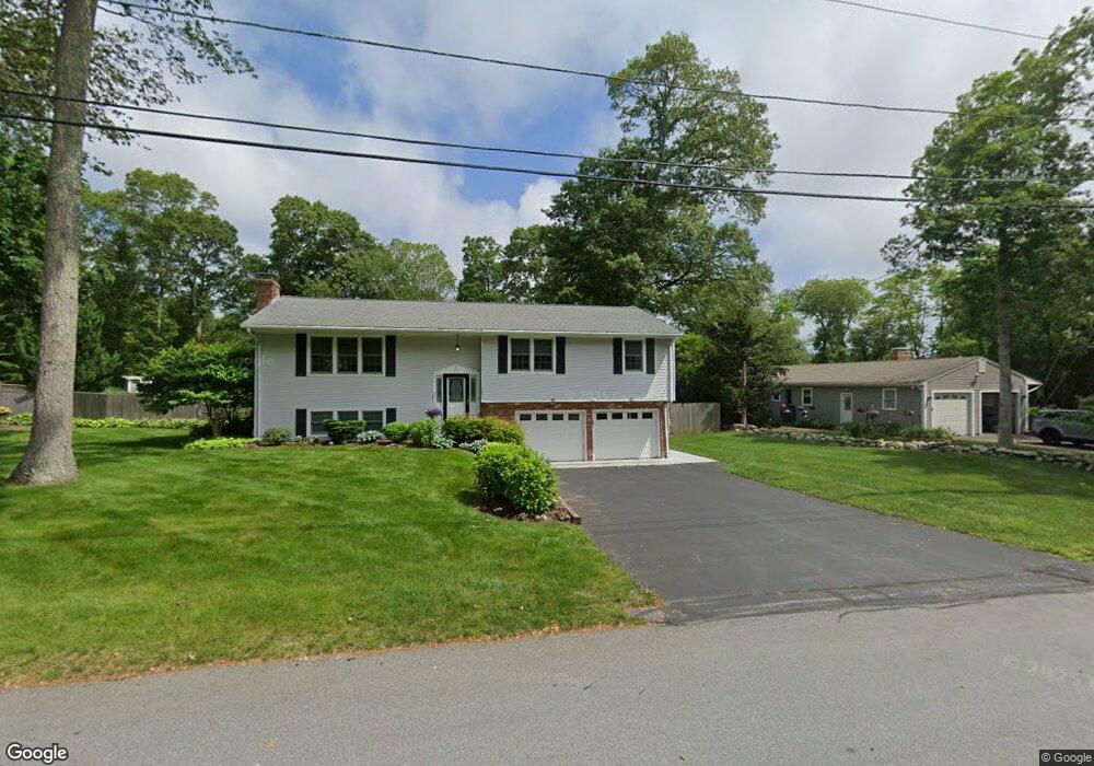
15 Arbor Way Wakefield, RI 02879
Estimated Value: $620,000 - $672,836
4
Beds
2
Baths
1,821
Sq Ft
$351/Sq Ft
Est. Value
About This Home
This home is located at 15 Arbor Way, Wakefield, RI 02879 and is currently estimated at $639,709, approximately $351 per square foot. 15 Arbor Way is a home located in Washington County with nearby schools including South Kingstown High School, Monsignor Matthew Clarke Catholic Regional School, and Bradley School-South.
Ownership History
Date
Name
Owned For
Owner Type
Purchase Details
Closed on
Feb 18, 2025
Sold by
Roy Donald and Roy Valerie I
Bought by
Valerie I & Donald Roy Lt and Roy
Current Estimated Value
Purchase Details
Closed on
Oct 27, 1972
Bought by
Roy L Donald and Roy Valerie I
Create a Home Valuation Report for This Property
The Home Valuation Report is an in-depth analysis detailing your home's value as well as a comparison with similar homes in the area
Home Values in the Area
Average Home Value in this Area
Purchase History
We collect this data history from publicly available records. To have your information removed, we recommend requesting removal directly through your county’s website.
| Date | Buyer | Sale Price | Title Company |
|---|---|---|---|
| Valerie I & Donald Roy Lt | -- | None Available | |
| Valerie I & Donald Roy Lt | -- | None Available | |
| Roy L Donald | -- | -- |
Source: Public Records
Mortgage History
We collect this data history from publicly available records. To have your information removed, we recommend requesting removal directly through your county’s website.
| Date | Status | Borrower | Loan Amount |
|---|---|---|---|
| Previous Owner | Roy L Donald | $250,000 | |
| Previous Owner | Roy L Donald | $75,000 | |
| Previous Owner | Roy L Donald | $81,000 |
Source: Public Records
Tax History
| Year | Tax Paid | Tax Assessment Tax Assessment Total Assessment is a certain percentage of the fair market value that is determined by local assessors to be the total taxable value of land and additions on the property. | Land | Improvement |
|---|---|---|---|---|
| 2025 | $4,904 | $548,600 | $235,600 | $313,000 |
| 2024 | $4,638 | $419,700 | $174,300 | $245,400 |
| 2023 | $4,638 | $419,700 | $174,300 | $245,400 |
| 2022 | $4,596 | $419,700 | $174,300 | $245,400 |
| 2021 | $4,558 | $315,400 | $134,100 | $181,300 |
| 2020 | $4,558 | $315,400 | $134,100 | $181,300 |
| 2019 | $4,558 | $315,400 | $134,100 | $181,300 |
| 2018 | $4,370 | $278,700 | $128,200 | $150,500 |
| 2017 | $4,267 | $278,700 | $128,200 | $150,500 |
| 2016 | $4,206 | $278,700 | $128,200 | $150,500 |
| 2015 | $3,981 | $256,500 | $116,600 | $139,900 |
| 2014 | $3,971 | $256,500 | $116,600 | $139,900 |
Source: Public Records
Map
Nearby Homes
- 61 Broad Rock Rd
- 124 Oak St
- 31 Chatham Rd
- 10 Hendricks St
- 228 Rodman St
- 16 Harrison Ave
- 39 Hazard Ave
- 4 Sandy Bottom Shores Dr
- 1668 Kingstown Rd
- 50 Shadow Farm Way
- 390 Woodruff Ave
- 35 Highland Ave
- 37 Pleasant Ave
- 42 Vespia Ln
- 54 Vespia Ln
- 23 Rockland Dr
- 35 Abbey Rd
- 125 Woodruff Ave
- 260 Sweet Allen Farm Rd Unit 3
- 272 Pine Hill Rd
- 32 Arbor Way
- 14 Greybirch Ct
- 14 Arbor Way
- 27 Arbor Way
- 41 Arbor Way
- 7 Greybirch Ct
- 300 Broad Rock Rd
- 284 Broad Rock Rd
- 19 Greybirch Ct
- 63 Arbor Way
- 56 Arbor Way
- 322 Broad Rock Rd
- 35 Greybirch Ct
- 27 Greybirch Ct
- 415 Oakwoods Dr
- 274 Broad Rock Rd
- 33 Greybirch Ct
- 151 Dendron Rd
- 425 Oakwoods Dr
- 64 Arbor Way
Your Personal Tour Guide
Ask me questions while you tour the home.