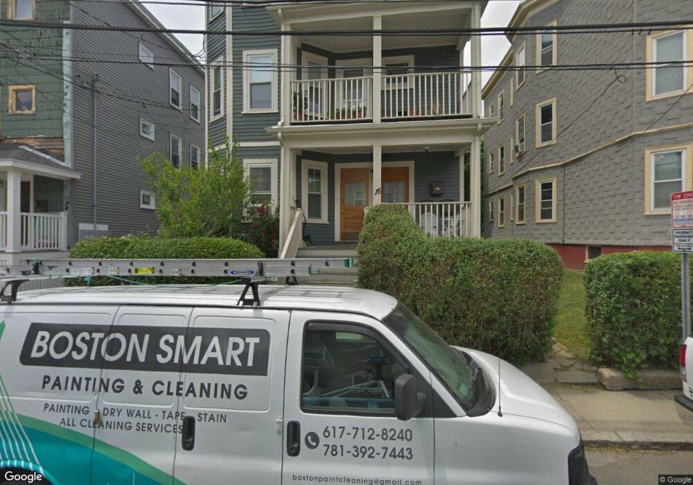
15 Ashland St Unit 3 Somerville, MA 02144
Porter Square NeighborhoodEstimated Value: $754,298 - $863,000
2
Beds
1
Bath
961
Sq Ft
$842/Sq Ft
Est. Value
About This Home
This home is located at 15 Ashland St Unit 3, Somerville, MA 02144 and is currently estimated at $809,575, approximately $842 per square foot. 15 Ashland St Unit 3 is a home located in Middlesex County with nearby schools including Somerville High School, Saint Theresa School, and St. Clement Elementary School.
Ownership History
Date
Name
Owned For
Owner Type
Purchase Details
Closed on
Nov 24, 2003
Sold by
Brockman James A
Bought by
Signaigo-Brockman Ellen
Current Estimated Value
Home Financials for this Owner
Home Financials are based on the most recent Mortgage that was taken out on this home.
Original Mortgage
$284,000
Outstanding Balance
$131,480
Interest Rate
5.98%
Mortgage Type
Purchase Money Mortgage
Estimated Equity
$678,095
Create a Home Valuation Report for This Property
The Home Valuation Report is an in-depth analysis detailing your home's value as well as a comparison with similar homes in the area
Home Values in the Area
Average Home Value in this Area
Purchase History
| Date | Buyer | Sale Price | Title Company |
|---|---|---|---|
| Signaigo-Brockman Ellen | $356,000 | -- |
Source: Public Records
Mortgage History
| Date | Status | Borrower | Loan Amount |
|---|---|---|---|
| Open | Signaigo-Brockman Ellen | $284,000 |
Source: Public Records
Tax History Compared to Growth
Tax History
| Year | Tax Paid | Tax Assessment Tax Assessment Total Assessment is a certain percentage of the fair market value that is determined by local assessors to be the total taxable value of land and additions on the property. | Land | Improvement |
|---|---|---|---|---|
| 2025 | $7,278 | $667,100 | $0 | $667,100 |
| 2024 | $6,838 | $650,000 | $0 | $650,000 |
| 2023 | $6,789 | $656,600 | $0 | $656,600 |
| 2022 | $6,568 | $645,200 | $0 | $645,200 |
| 2021 | $6,196 | $608,000 | $0 | $608,000 |
| 2020 | $6,009 | $595,500 | $0 | $595,500 |
| 2019 | $6,138 | $570,400 | $0 | $570,400 |
| 2018 | $6,599 | $583,500 | $0 | $583,500 |
| 2017 | $5,492 | $470,600 | $0 | $470,600 |
| 2016 | $5,528 | $441,200 | $0 | $441,200 |
| 2015 | $5,313 | $421,300 | $0 | $421,300 |
Source: Public Records
Map
Nearby Homes
- 32-40 White St
- 3 Fairlee St
- 12 Windsor Rd Unit 1
- 749 Somerville Ave Unit 1
- 79 Willow Ave
- 156 Albion St Unit A
- 156 Albion St Unit B
- 7 Beech St Unit 319
- 7 Beech St Unit 211
- 353 Summer St Unit 310
- 8 Craigie St
- 85 Lowell St
- 1 Richdale Ave Unit 2
- 125 Lowell St Unit 4C
- 125 Lowell St Unit 203
- 125 Lowell St Unit 5A
- 125 Lowell St Unit 301
- 125 Lowell St Unit 7B
- 125 Lowell St Unit 201
- 125 Lowell St Unit 503
- 15 Ashland St Unit 2
- 15 Ashland St Unit 1
- 15 Ashland St
- 11 Ashland St
- 11 Ashland St Unit 2
- 17 Ashland St Unit 1
- 17 Ashland St Unit 2
- 17 Ashland St Unit 3
- 17 Ashland St
- 17 Ashland St Unit 4
- 17 Ashland St Unit 1
- 17 Ashland St
- 9 Steeves Cir
- 9 Ashland St Unit 3
- 9 Ashland St Unit 2
- 9 Ashland St Unit 1
- 19 Ashland St
- 19 Ashland St Unit D3
- 19 Ashland St Unit 2E
- 19 Ashland St Unit 2ab