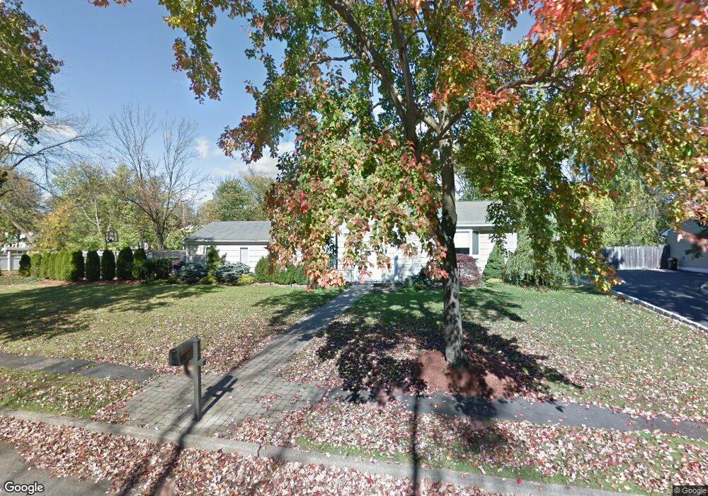
15 Ashwood Place Parsippany, NJ 07054
Estimated Value: $726,218 - $888,000
--
Bed
--
Bath
2,316
Sq Ft
$340/Sq Ft
Est. Value
About This Home
This home is located at 15 Ashwood Place, Parsippany, NJ 07054 and is currently estimated at $786,805, approximately $339 per square foot. 15 Ashwood Place is a home located in Morris County with nearby schools including Lake Hiawatha Elementary School, Central Middle School, and Parsippany High School.
Ownership History
Date
Name
Owned For
Owner Type
Purchase Details
Closed on
Apr 9, 2013
Sold by
Schey Wayne M and Schey Darren B
Bought by
Schey Darren B and Schey Ilene K
Current Estimated Value
Home Financials for this Owner
Home Financials are based on the most recent Mortgage that was taken out on this home.
Original Mortgage
$344,000
Outstanding Balance
$244,678
Interest Rate
3.64%
Mortgage Type
New Conventional
Estimated Equity
$542,127
Create a Home Valuation Report for This Property
The Home Valuation Report is an in-depth analysis detailing your home's value as well as a comparison with similar homes in the area
Home Values in the Area
Average Home Value in this Area
Purchase History
| Date | Buyer | Sale Price | Title Company |
|---|---|---|---|
| Schey Darren B | -- | First American Title Insuran |
Source: Public Records
Mortgage History
| Date | Status | Borrower | Loan Amount |
|---|---|---|---|
| Open | Schey Darren B | $344,000 |
Source: Public Records
Tax History Compared to Growth
Tax History
| Year | Tax Paid | Tax Assessment Tax Assessment Total Assessment is a certain percentage of the fair market value that is determined by local assessors to be the total taxable value of land and additions on the property. | Land | Improvement |
|---|---|---|---|---|
| 2025 | $13,952 | $395,700 | $200,000 | $195,700 |
| 2024 | $13,691 | $395,700 | $200,000 | $195,700 |
| 2023 | $13,691 | $395,700 | $200,000 | $195,700 |
| 2022 | $12,773 | $395,700 | $200,000 | $195,700 |
| 2021 | $12,773 | $395,700 | $200,000 | $195,700 |
| 2020 | $12,500 | $395,700 | $200,000 | $195,700 |
| 2019 | $12,152 | $395,700 | $200,000 | $195,700 |
| 2018 | $11,883 | $395,700 | $200,000 | $195,700 |
| 2017 | $11,602 | $395,700 | $200,000 | $195,700 |
| 2016 | $11,392 | $395,700 | $200,000 | $195,700 |
| 2015 | $11,103 | $395,700 | $200,000 | $195,700 |
| 2014 | $10,949 | $395,700 | $200,000 | $195,700 |
Source: Public Records
Map
Nearby Homes
- 53 Gordon Cir Unit 53
- 123 Cardigan Ct Unit 123
- 2 Colony Ct
- 188 Edwards Rd
- 159 Ball Ave
- 5 Twin Oaks Ct
- 12 Cherokee Ave
- 21 Nokomis Ave
- 122 Lake Shore Dr
- 3 Woodhaven Rd
- 42 Minnehaha Blvd
- 30 Madison Ave
- 17 Madison Ave
- 61 Minnehaha Blvd
- 60 White Oak Rd
- 31.5 Roosevelt Ave
- 2 Buckingham Rd
- 104 N Beverwyck Rd Unit 7
- 4 New Hampshire Ct
- 20 Druid Hill Dr
- 17 Ashwood Place
- 4 Snoozin Tree Ln
- 13 Ashwood Place
- 24 Ashwood Place
- 19 Ashwood Place
- 22 Ashwood Place
- 11 Rickland Rd
- 26 Ashwood Place
- 6 Snoozin Tree Ln
- 20 Ashwood Place
- 11 Ashwood Place
- 11 Bent Birch Place
- 28 Ashwood Place
- 21 Ashwood Place
- 9 Rickland Rd
- 14 Rickland Rd
- 18 Ashwood Place
- 8 Snoozin Tree Ln
- 9 Bent Birch Place
- 9 Ashwood Place