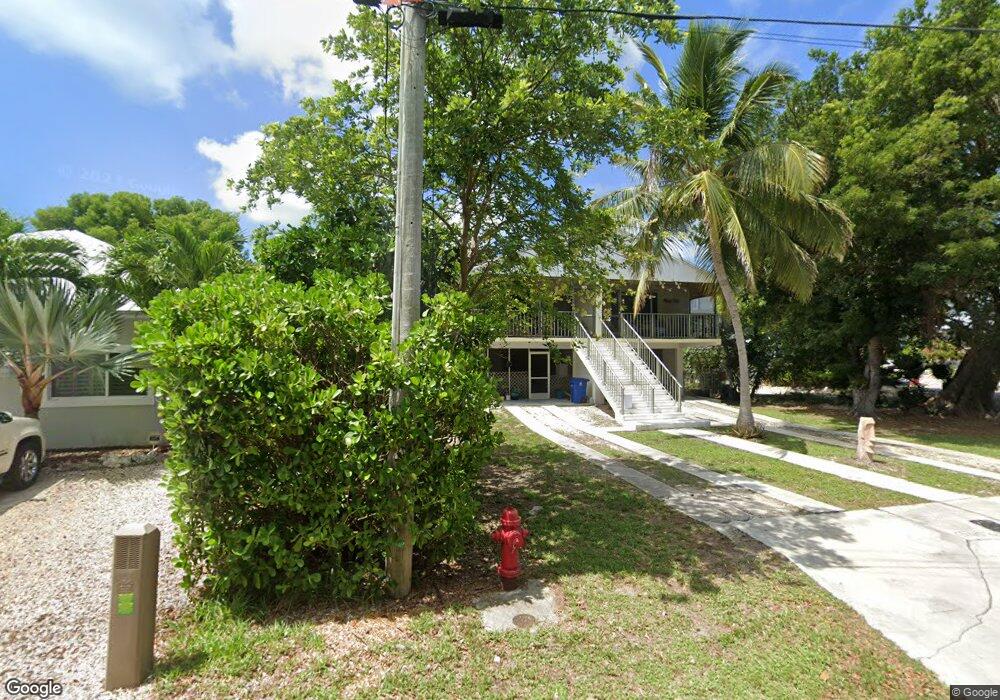
15 Atlantic Blvd Unit A Key Largo, FL 33037
Estimated Value: $303,753 - $790,000
2
Beds
2
Baths
941
Sq Ft
$651/Sq Ft
Est. Value
About This Home
This home is located at 15 Atlantic Blvd Unit A, Key Largo, FL 33037 and is currently estimated at $612,251, approximately $650 per square foot. 15 Atlantic Blvd Unit A is a home located in Monroe County with nearby schools including Key Largo School, Coral Shores High School, and Dolphin Montessori Children's House.
Ownership History
Date
Name
Owned For
Owner Type
Purchase Details
Closed on
Aug 8, 2016
Sold by
Wasmund Gerld C and Wasmund Jane A
Bought by
Wasmund Gerlad C and Wasmund Jane A
Current Estimated Value
Purchase Details
Closed on
Jan 22, 2003
Sold by
Locke Robert A and Locke Geraldine H
Bought by
Wasmund Gerald C and Wasmund Jane A
Purchase Details
Closed on
Dec 5, 2002
Sold by
Hall Letty
Bought by
Locke Robert and Locke Geraldine
Purchase Details
Closed on
Jul 1, 1993
Bought by
Wasmund Gerald C and Wasmund Jane A
Purchase Details
Closed on
Feb 1, 1984
Bought by
Wasmund Gerald C and Wasmund Jane A
Create a Home Valuation Report for This Property
The Home Valuation Report is an in-depth analysis detailing your home's value as well as a comparison with similar homes in the area
Home Values in the Area
Average Home Value in this Area
Purchase History
| Date | Buyer | Sale Price | Title Company |
|---|---|---|---|
| Wasmund Gerlad C | $28,085 | None Available | |
| Wasmund Gerald C | $150,000 | Atlantic Title Insurance Co | |
| Locke Robert | -- | -- | |
| Wasmund Gerald C | $84,900 | -- | |
| Wasmund Gerald C | $80,000 | -- |
Source: Public Records
Tax History Compared to Growth
Tax History
| Year | Tax Paid | Tax Assessment Tax Assessment Total Assessment is a certain percentage of the fair market value that is determined by local assessors to be the total taxable value of land and additions on the property. | Land | Improvement |
|---|---|---|---|---|
| 2024 | $2,151 | $256,725 | -- | $256,725 |
| 2023 | $2,151 | $256,725 | $0 | $256,725 |
| 2022 | $1,844 | $186,150 | $0 | $186,150 |
| 2021 | $1,743 | $156,521 | $0 | $156,521 |
| 2020 | $1,702 | $156,521 | $0 | $156,521 |
| 2019 | $1,624 | $146,546 | $0 | $146,546 |
| 2018 | $1,396 | $87,513 | $0 | $0 |
| 2017 | $1,391 | $87,513 | $0 | $0 |
| 2016 | $1,424 | $87,513 | $0 | $0 |
| 2015 | $1,442 | $87,513 | $0 | $0 |
| 2014 | $1,439 | $87,513 | $0 | $0 |
Source: Public Records
Map
Nearby Homes
- 60 Bahama Ave
- 81 Marina Ave
- 20 Coral Dr
- 0 000 Unit A11845775
- 45 Coral Dr
- 68 Seagate Blvd
- 238 Atlantic Blvd
- 162 Marina Ave
- 202 Atlantic Blvd
- 16 N Channel Dr
- 131 Marina Ave
- 71 Coral Dr
- 392 Laguna Ave
- 201 Wildwood Cir
- 210 Wildwood Cir
- 184 Bahama Ave
- 215 Wildwood Cir
- 300 Ocean Dr Unit 28
- 300 Ocean Dr Unit 22
- 301 Buttonwood Cir
- 15 Atlantic Blvd Unit B
- 16 Atlantic Blvd
- 14 Atlantic Ave
- 14 Atlantic Ave Unit B
- 17 Atlantic Blvd
- 13 Atlantic Ave
- 18 Atlantic Blvd
- 36 Bahama Ave
- 35 Bahama Ave
- 12 Atlantic Ave
- 37 Bahama Ave
- 34 Bahama Ave
- 38 Bahama Ave
- 33 Bahama Ave
- 11 Atlantic Ave
- 39 Bahama Ave
- 20 Atlantic Blvd
- 32 Bahama Ave
- 40 Bahama Ave
- 10 Atlantic Ave