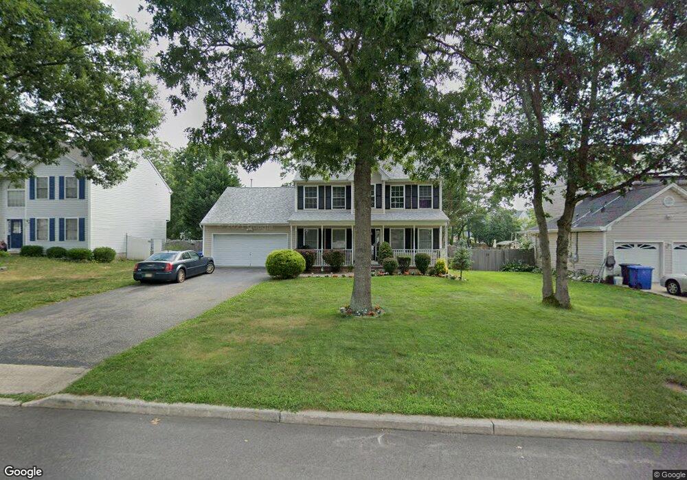
15 Atlantis Ave Manahawkin, NJ 08050
Stafford NeighborhoodEstimated Value: $461,678 - $541,000
3
Beds
3
Baths
1,792
Sq Ft
$281/Sq Ft
Est. Value
About This Home
This home is located at 15 Atlantis Ave, Manahawkin, NJ 08050 and is currently estimated at $502,670, approximately $280 per square foot. 15 Atlantis Ave is a home located in Ocean County with nearby schools including Ocean Acres Elementary School, Oxycocus Elementary School, and McKinley Avenue Elementary School.
Ownership History
Date
Name
Owned For
Owner Type
Purchase Details
Closed on
Dec 22, 1997
Sold by
Liberty Custom Builders Inc
Bought by
Burns Raymond and Burns Ramona
Current Estimated Value
Home Financials for this Owner
Home Financials are based on the most recent Mortgage that was taken out on this home.
Original Mortgage
$123,620
Outstanding Balance
$20,656
Interest Rate
7.09%
Mortgage Type
FHA
Estimated Equity
$482,014
Create a Home Valuation Report for This Property
The Home Valuation Report is an in-depth analysis detailing your home's value as well as a comparison with similar homes in the area
Home Values in the Area
Average Home Value in this Area
Purchase History
| Date | Buyer | Sale Price | Title Company |
|---|---|---|---|
| Burns Raymond | $124,900 | Freedom Title & Abstract | |
| Liberty Custom Builders | $23,000 | Freedom Title & Abstract |
Source: Public Records
Mortgage History
| Date | Status | Borrower | Loan Amount |
|---|---|---|---|
| Open | Burns Raymond | $123,620 |
Source: Public Records
Tax History Compared to Growth
Tax History
| Year | Tax Paid | Tax Assessment Tax Assessment Total Assessment is a certain percentage of the fair market value that is determined by local assessors to be the total taxable value of land and additions on the property. | Land | Improvement |
|---|---|---|---|---|
| 2025 | $6,051 | $243,700 | $62,000 | $181,700 |
| 2024 | $5,993 | $243,700 | $62,000 | $181,700 |
| 2023 | $5,737 | $243,700 | $62,000 | $181,700 |
| 2022 | $5,737 | $243,700 | $62,000 | $181,700 |
| 2021 | $5,659 | $243,700 | $62,000 | $181,700 |
| 2020 | $5,666 | $243,700 | $62,000 | $181,700 |
| 2019 | $5,586 | $243,700 | $62,000 | $181,700 |
| 2018 | $5,551 | $243,700 | $62,000 | $181,700 |
| 2017 | $5,600 | $238,000 | $62,000 | $176,000 |
| 2016 | $5,543 | $238,000 | $62,000 | $176,000 |
| 2015 | $5,348 | $238,000 | $62,000 | $176,000 |
| 2014 | $5,246 | $230,600 | $61,200 | $169,400 |
Source: Public Records
Map
Nearby Homes
- 1604, 1608, 1612 W Route 72 Hwy
- 58 Flipper Ave
- 139 Mermaid Dr
- 100 Marlin Rd
- 1215 Canal Ave
- 1208 Windlass Dr
- 182 Atlantis Ave
- 1195 Windlass Dr
- 1174 Treasure Ave
- 1174 Steamer Ave
- 232 Gaff Rd
- 1173 Barnacle Dr
- 246 Atlantis Ave
- 248 Matey Ave
- 117 Topside Rd
- 216 Gaff Rd
- 220 Gaff Rd
- 224 Gaff Rd
- 149 Mallard Rd
- 101 Topsail Ln
- 11 Atlantis Ave
- 19 Atlantis Ave
- 12 Admiral Ave
- 8 Admiral Ave
- 7 Atlantis Ave
- 23 Atlantis Ave
- 1578 Route 72 18 Atlantis
- 16 Admiral Ave
- 14 Atlantis Ave
- 1523 Breakers Dr
- 10 Atlantis Ave
- 22 Atlantis Ave
- 1534 Route 72 22 Atlantis Hwy
- 27 Atlantis Ave
- 27 Atlantis Ave Unit B
- 1527 Breakers Dr
- 1517 Breakers Dr
- 1517 Breakers Dr Unit B
- 20 Admiral Ave
- 1511 Breakers Dr