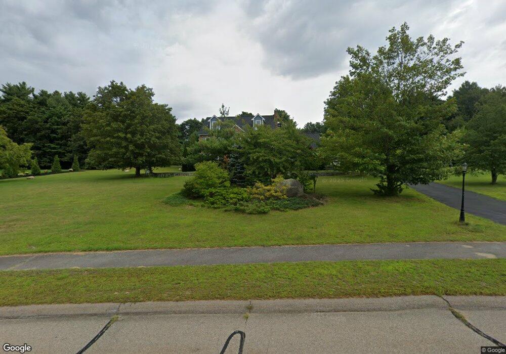
15 Autumn Rd Wrentham, MA 02093
West Wrentham NeighborhoodEstimated Value: $870,403 - $1,146,000
4
Beds
3
Baths
3,042
Sq Ft
$335/Sq Ft
Est. Value
About This Home
This home is located at 15 Autumn Rd, Wrentham, MA 02093 and is currently estimated at $1,018,601, approximately $334 per square foot. 15 Autumn Rd is a home located in Norfolk County with nearby schools including Delaney Elementary School, Charles E Roderick, and Mercymount Country Day School.
Ownership History
Date
Name
Owned For
Owner Type
Purchase Details
Closed on
Nov 18, 1994
Sold by
Tinicum Inc
Bought by
Hassell Paul J and Hassell Veronica
Current Estimated Value
Home Financials for this Owner
Home Financials are based on the most recent Mortgage that was taken out on this home.
Original Mortgage
$150,000
Interest Rate
8.9%
Mortgage Type
Purchase Money Mortgage
Purchase Details
Closed on
Jul 8, 1994
Sold by
Hynes Kevin M
Bought by
Tinicum Inc
Purchase Details
Closed on
Aug 5, 1992
Sold by
Bailey & Zahner Bldrs
Bought by
Hynes Kevin M
Home Financials for this Owner
Home Financials are based on the most recent Mortgage that was taken out on this home.
Original Mortgage
$240,000
Interest Rate
8.4%
Mortgage Type
Purchase Money Mortgage
Create a Home Valuation Report for This Property
The Home Valuation Report is an in-depth analysis detailing your home's value as well as a comparison with similar homes in the area
Home Values in the Area
Average Home Value in this Area
Purchase History
| Date | Buyer | Sale Price | Title Company |
|---|---|---|---|
| Hassell Paul J | $257,500 | -- | |
| Tinicum Inc | $240,000 | -- | |
| Hynes Kevin M | $265,000 | -- |
Source: Public Records
Mortgage History
| Date | Status | Borrower | Loan Amount |
|---|---|---|---|
| Closed | Hassell Paul J | $150,000 | |
| Previous Owner | Hynes Kevin M | $240,000 |
Source: Public Records
Tax History Compared to Growth
Tax History
| Year | Tax Paid | Tax Assessment Tax Assessment Total Assessment is a certain percentage of the fair market value that is determined by local assessors to be the total taxable value of land and additions on the property. | Land | Improvement |
|---|---|---|---|---|
| 2025 | $8,925 | $770,100 | $288,000 | $482,100 |
| 2024 | $8,604 | $717,000 | $288,000 | $429,000 |
| 2023 | $8,402 | $665,800 | $261,900 | $403,900 |
| 2022 | $8,330 | $609,400 | $255,100 | $354,300 |
| 2021 | $8,442 | $600,000 | $238,400 | $361,600 |
| 2020 | $8,482 | $595,200 | $182,000 | $413,200 |
| 2019 | $8,137 | $576,300 | $182,000 | $394,300 |
| 2018 | $7,888 | $553,900 | $181,800 | $372,100 |
| 2017 | $7,665 | $537,900 | $178,300 | $359,600 |
| 2016 | $7,508 | $525,800 | $173,200 | $352,600 |
| 2015 | $7,472 | $498,800 | $166,500 | $332,300 |
| 2014 | $7,349 | $480,000 | $160,100 | $319,900 |
Source: Public Records
Map
Nearby Homes
- 2095 West St
- 60 Grant Ave
- 50 Heather Ln
- 39 Sumner Brown Rd
- 25 Nature View Dr
- 17 Stanford Rd
- 851 Washington St
- 20 Nature View Dr
- 10 Stanford Rd
- 180 Pine Swamp Rd
- 56 Pine Swamp Rd
- 1 Spring St
- 584 Washington St
- 9 Pebble Cir Unit 9
- 65 Palmetto Dr Unit 65
- 21 Palmetto Dr Unit 21
- 24 Palmetto Dr Unit 24
- 219 Dawn Blvd
- 8 Bubbling Brook Rd
- 732 King St