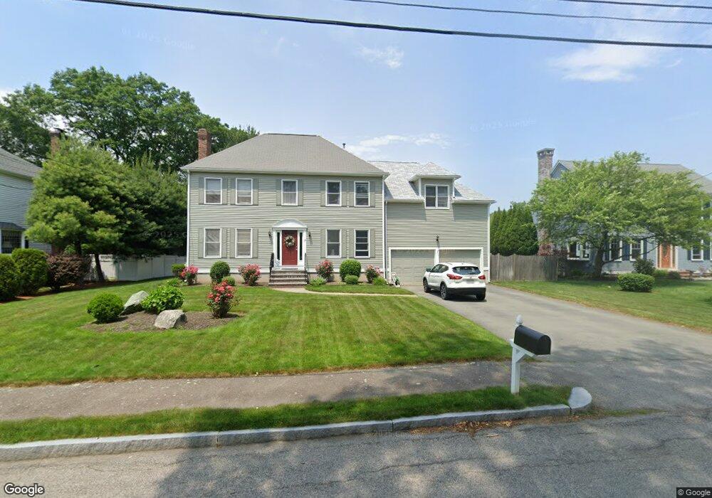
15 Autumn St Norwood, MA 02062
North Norwood NeighborhoodEstimated Value: $932,000 - $1,093,000
5
Beds
3
Baths
2,620
Sq Ft
$385/Sq Ft
Est. Value
About This Home
This home is located at 15 Autumn St, Norwood, MA 02062 and is currently estimated at $1,009,808, approximately $385 per square foot. 15 Autumn St is a home located in Norfolk County with nearby schools including Norwood High School, St Catherine Of Siena School, and Xaverian Brothers High School.
Ownership History
Date
Name
Owned For
Owner Type
Purchase Details
Closed on
Jul 21, 1998
Sold by
Wolfe Michael B and Wolfe Linda J
Bought by
Tighe James J and Tighe Jennifer
Current Estimated Value
Home Financials for this Owner
Home Financials are based on the most recent Mortgage that was taken out on this home.
Original Mortgage
$190,000
Outstanding Balance
$38,815
Interest Rate
6.98%
Mortgage Type
Purchase Money Mortgage
Estimated Equity
$970,993
Create a Home Valuation Report for This Property
The Home Valuation Report is an in-depth analysis detailing your home's value as well as a comparison with similar homes in the area
Home Values in the Area
Average Home Value in this Area
Purchase History
| Date | Buyer | Sale Price | Title Company |
|---|---|---|---|
| Tighe James J | $268,000 | -- |
Source: Public Records
Mortgage History
| Date | Status | Borrower | Loan Amount |
|---|---|---|---|
| Open | Tighe James J | $100,000 | |
| Open | Tighe James J | $190,000 | |
| Previous Owner | Tighe James J | $45,000 |
Source: Public Records
Tax History Compared to Growth
Tax History
| Year | Tax Paid | Tax Assessment Tax Assessment Total Assessment is a certain percentage of the fair market value that is determined by local assessors to be the total taxable value of land and additions on the property. | Land | Improvement |
|---|---|---|---|---|
| 2025 | $99 | $937,100 | $317,100 | $620,000 |
| 2024 | $9,462 | $903,700 | $317,100 | $586,600 |
| 2023 | $8,612 | $834,500 | $266,200 | $568,300 |
| 2022 | $8,038 | $747,700 | $242,000 | $505,700 |
| 2021 | $7,550 | $665,800 | $233,300 | $432,500 |
| 2020 | $7,571 | $679,000 | $229,100 | $449,900 |
| 2019 | $6,375 | $585,400 | $220,200 | $365,200 |
| 2018 | $6,368 | $574,200 | $219,200 | $355,000 |
| 2017 | $6,402 | $574,200 | $219,200 | $355,000 |
| 2016 | $6,024 | $541,700 | $219,200 | $322,500 |
| 2015 | $5,982 | $521,500 | $207,900 | $313,600 |
| 2014 | $5,644 | $487,400 | $194,700 | $292,700 |
Source: Public Records
Map
Nearby Homes
- 37 Silver St
- 470 Nahatan St
- 618 Nahatan St
- 42 Myrtle St
- 85 Casey St
- 17 Royal Ct
- 135 Cottage St Unit 2
- 115 Lincoln St
- 60 Florence Ave Unit A
- 365 Washington St Unit 4
- 300 Nahatan St
- 131 Bay Colony Dr
- 216 Clapboardtree St
- 253 Nahatan St Unit 11
- 1 Walkhill Rd
- 232-234 Nahatan St
- 35 Whitney Ave
- 86 Hill St
- 1 Lenox St Unit 312
- 1 Lenox St Unit 115