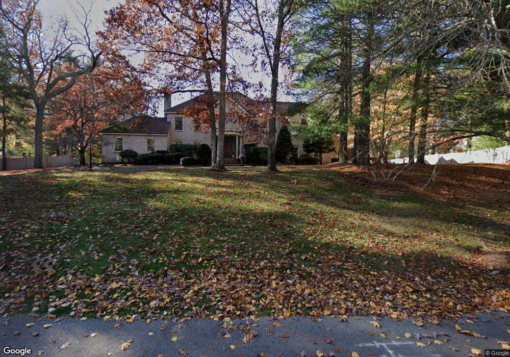
15 Babe Ruth Dr Sudbury, MA 01776
Estimated Value: $1,800,784 - $2,241,000
5
Beds
4
Baths
5,426
Sq Ft
$387/Sq Ft
Est. Value
About This Home
This home is located at 15 Babe Ruth Dr, Sudbury, MA 01776 and is currently estimated at $2,097,946, approximately $386 per square foot. 15 Babe Ruth Dr is a home located in Middlesex County with nearby schools including Peter Noyes Elementary School, Ephraim Curtis Middle School, and Lincoln-Sudbury Regional High School.
Ownership History
Date
Name
Owned For
Owner Type
Purchase Details
Closed on
Jul 20, 2007
Sold by
Lewis Anita and Gottlieb Philip D
Bought by
Morrissey Brendan and Morrissey Heather
Current Estimated Value
Home Financials for this Owner
Home Financials are based on the most recent Mortgage that was taken out on this home.
Original Mortgage
$500,000
Interest Rate
6.54%
Mortgage Type
Purchase Money Mortgage
Purchase Details
Closed on
Aug 27, 1996
Sold by
Terrell Mark C and Terrell Irene C
Bought by
Gottlieb Philip D and Lewis Anita
Create a Home Valuation Report for This Property
The Home Valuation Report is an in-depth analysis detailing your home's value as well as a comparison with similar homes in the area
Home Values in the Area
Average Home Value in this Area
Purchase History
| Date | Buyer | Sale Price | Title Company |
|---|---|---|---|
| Morrissey Brendan | $1,143,000 | -- | |
| Morrissey Brendan | $1,143,000 | -- | |
| Gottlieb Philip D | $877,750 | -- | |
| Gottlieb Philip D | $877,750 | -- |
Source: Public Records
Mortgage History
| Date | Status | Borrower | Loan Amount |
|---|---|---|---|
| Open | Gottlieb Philip D | $417,000 | |
| Closed | Morrissey Brendan | $500,000 | |
| Previous Owner | Gottlieb Philip D | $798,000 |
Source: Public Records
Tax History Compared to Growth
Tax History
| Year | Tax Paid | Tax Assessment Tax Assessment Total Assessment is a certain percentage of the fair market value that is determined by local assessors to be the total taxable value of land and additions on the property. | Land | Improvement |
|---|---|---|---|---|
| 2025 | $27,778 | $1,897,400 | $546,400 | $1,351,000 |
| 2024 | $26,678 | $1,826,000 | $530,400 | $1,295,600 |
| 2023 | $24,516 | $1,554,600 | $473,600 | $1,081,000 |
| 2022 | $23,644 | $1,309,900 | $434,400 | $875,500 |
| 2021 | $22,391 | $1,189,100 | $434,400 | $754,700 |
| 2020 | $21,939 | $1,189,100 | $434,400 | $754,700 |
| 2019 | $21,297 | $1,189,100 | $434,400 | $754,700 |
| 2018 | $20,603 | $1,149,100 | $462,000 | $687,100 |
| 2017 | $20,186 | $1,137,900 | $457,600 | $680,300 |
| 2016 | $19,580 | $1,100,000 | $440,000 | $660,000 |
| 2015 | $19,052 | $1,082,500 | $436,000 | $646,500 |
| 2014 | $19,065 | $1,057,400 | $424,400 | $633,000 |
Source: Public Records
Map
Nearby Homes
- 47 Fairbank Rd
- 4 Elderberry Cir
- 36 Old Forge Ln
- 12 Camperdown Ln
- 21 Summer St
- 14 Tanbark Rd
- 54 Phillips Rd
- 24 Goodnow Rd
- 7 Saddle Ridge Rd
- 55 Widow Rites Ln
- 45 Widow Rites Ln
- 270 Old Lancaster Rd
- 30 Rolling Ln
- 89 Bridle Path
- 25 Bridle Path
- 143 Peakham Rd
- 166 Parker St Unit 4
- 67 Old Marlboro Rd
- 5 Taintor Dr
- 63 Canterbury Dr
- 15 Babe Ruth Dr Unit PO Box 346
- 23 Babe Ruth Dr
- 7 Babe Ruth Dr
- 60 Atkinson Ln
- 54 Atkinson Ln
- 6 Babe Ruth Dr
- 14 Babe Ruth Dr
- 29 Babe Ruth Dr
- 16 Perry Cir
- 57 Atkinson Ln
- 46 Atkinson Ln
- 65 Atkinson Ln
- 77 Atkinson Ln
- 80 Atkinson Ln
- 51 Atkinson Ln
- 71 Atkinson Ln
- 10 Perry Cir
- 39 Babe Ruth Dr
- 88 Atkinson Ln
- 43 Atkinson Ln