15 Baxter Way West Dennis, MA 02670
West Dennis NeighborhoodEstimated Value: $711,327 - $788,000
3
Beds
2
Baths
1,591
Sq Ft
$481/Sq Ft
Est. Value
About This Home
This home is located at 15 Baxter Way, West Dennis, MA 02670 and is currently estimated at $764,832, approximately $480 per square foot. 15 Baxter Way is a home located in Barnstable County with nearby schools including Dennis-Yarmouth Regional High School and St. Pius X. School.
Ownership History
Date
Name
Owned For
Owner Type
Purchase Details
Closed on
Jun 23, 2017
Sold by
Nodell Susan A
Bought by
Nodell Susan A and Nodell Andrew E
Current Estimated Value
Purchase Details
Closed on
Oct 27, 1989
Sold by
Michael Daniel J
Bought by
Nodell Edward T
Create a Home Valuation Report for This Property
The Home Valuation Report is an in-depth analysis detailing your home's value as well as a comparison with similar homes in the area
Home Values in the Area
Average Home Value in this Area
Purchase History
| Date | Buyer | Sale Price | Title Company |
|---|---|---|---|
| Nodell Susan A | -- | -- | |
| Nodell Edward T | $185,000 | -- |
Source: Public Records
Mortgage History
| Date | Status | Borrower | Loan Amount |
|---|---|---|---|
| Previous Owner | Nodell Edward T | $218,000 | |
| Previous Owner | Nodell Edward T | $40,000 | |
| Previous Owner | Nodell Edward T | $145,000 | |
| Previous Owner | Nodell Edward T | $148,000 |
Source: Public Records
Tax History Compared to Growth
Tax History
| Year | Tax Paid | Tax Assessment Tax Assessment Total Assessment is a certain percentage of the fair market value that is determined by local assessors to be the total taxable value of land and additions on the property. | Land | Improvement |
|---|---|---|---|---|
| 2025 | $2,601 | $600,600 | $183,500 | $417,100 |
| 2024 | $2,533 | $576,900 | $176,500 | $400,400 |
| 2023 | $2,473 | $529,500 | $160,400 | $369,100 |
| 2022 | $2,342 | $418,300 | $144,500 | $273,800 |
| 2021 | $2,182 | $361,900 | $141,700 | $220,200 |
| 2020 | $2,383 | $390,600 | $141,700 | $248,900 |
| 2019 | $4,982 | $363,800 | $138,900 | $224,900 |
| 2018 | $2,050 | $323,300 | $108,200 | $215,100 |
| 2017 | $4,206 | $317,000 | $108,200 | $208,800 |
| 2016 | $2,000 | $306,300 | $132,200 | $174,100 |
| 2015 | $1,960 | $306,300 | $132,200 | $174,100 |
| 2014 | $1,910 | $300,800 | $132,200 | $168,600 |
Source: Public Records
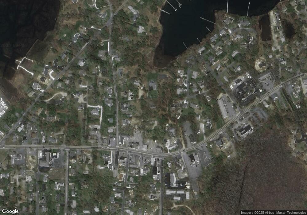
Map
Nearby Homes
- 23 Doric Ave
- 401 Main St Unit 201
- 401 Main St Unit 101
- 209 Main St Unit 3
- 209 Main St Unit 6
- 209 Main St Unit 1
- 209 Main St Unit 2
- 209 Main St Unit 4
- 209 Main St Unit 5
- 467 Main St
- 428 Main St Unit 1-11
- 14 Schoolhouse Ln
- 178 School St
- 61 Trotters Ln
- 45 Seth Ln
- 29 Bass River Rd
- 40 Kelley Rd
- 2 Rita Mary Way
- 18 Turner Ln
- 15 Woodside Park Rd
- 21 Riverway
- 65 Baxter Way
- 24 Church St Unit 24E
- 24 Church St Unit 24D
- 24 Church St Unit 24C
- 24 Church St Unit 24B
- 24 Church St Unit 22B
- 24 Church St Unit 22A
- 24 Church St Unit E
- 24 Church St Unit C
- 24 Church St Unit D
- 24 Church St
- 24 Church St Unit B
- 340 Main St
- 18 Baxter Way
- 22 Church St Unit 22-B
- 22 Church St Unit BEAB
- 22 Church St Unit 22A
- 22 Church St Unit B
- 22 Church St Unit A