15 Beach Ave Dartmouth, MA 02748
Cow Yard/Nonquitt NeighborhoodEstimated Value: $1,106,000 - $2,168,000
3
Beds
2
Baths
1,264
Sq Ft
$1,264/Sq Ft
Est. Value
About This Home
This home is located at 15 Beach Ave, Dartmouth, MA 02748 and is currently estimated at $1,597,992, approximately $1,264 per square foot. 15 Beach Ave is a home located in Bristol County with nearby schools including Dartmouth High School.
Ownership History
Date
Name
Owned For
Owner Type
Purchase Details
Closed on
Aug 25, 2004
Sold by
Fearing-Benner Arthur
Bought by
Arthur F Benner Lt
Current Estimated Value
Purchase Details
Closed on
Oct 27, 1995
Sold by
Est Winsor Barbara J and Winsor Rufus A
Bought by
Wind Song T and Langlois Marie
Create a Home Valuation Report for This Property
The Home Valuation Report is an in-depth analysis detailing your home's value as well as a comparison with similar homes in the area
Home Values in the Area
Average Home Value in this Area
Purchase History
| Date | Buyer | Sale Price | Title Company |
|---|---|---|---|
| Arthur F Benner Lt | -- | -- | |
| Wind Song T | $495,000 | -- |
Source: Public Records
Tax History Compared to Growth
Tax History
| Year | Tax Paid | Tax Assessment Tax Assessment Total Assessment is a certain percentage of the fair market value that is determined by local assessors to be the total taxable value of land and additions on the property. | Land | Improvement |
|---|---|---|---|---|
| 2025 | $14,663 | $1,703,000 | $1,557,400 | $145,600 |
| 2024 | $14,037 | $1,615,300 | $1,481,800 | $133,500 |
| 2023 | $14,723 | $1,605,600 | $1,481,800 | $123,800 |
| 2022 | $15,695 | $1,585,400 | $1,481,800 | $103,600 |
| 2021 | $4,308 | $1,527,600 | $1,442,400 | $85,200 |
| 2020 | $4,202 | $1,561,300 | $1,479,200 | $82,100 |
| 2019 | $15,812 | $1,520,400 | $1,442,400 | $78,000 |
| 2018 | $3,694 | $1,516,900 | $1,442,400 | $74,500 |
| 2017 | $14,466 | $1,443,700 | $1,368,000 | $75,700 |
| 2016 | $14,507 | $1,427,900 | $1,359,500 | $68,400 |
| 2015 | $14,463 | $1,426,300 | $1,356,800 | $69,500 |
| 2014 | $13,381 | $1,310,600 | $1,242,300 | $68,300 |
Source: Public Records
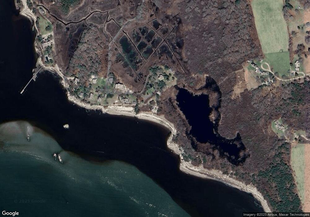
Map
Nearby Homes
- 158 Little River Rd
- 12 Meadow Shores Rd
- 24 Eagle Dr
- 482 Smith Neck Rd
- 48 N Shore Dr Unit 3&7
- 48 N Shore Dr Unit 8
- 62 Hetty Green St Unit 62
- Lot 1 Rafael Rd
- 24 White Alder Way
- 105 Rock Odundee Rd
- 61 Pardon Hill Rd
- 738 Smith Neck Rd
- Lot 2 Horseneck Rd
- Lot 2E Horseneck Rd
- 248 Bakerville Rd
- 1150 Russells Mills Rd
- 23 High St
- 238-242 E Beach Rd
- 40 School St
- 2 Slades Farm Ln
- 13 Smith St
- 13 Smith Ave
- 14 Smith St
- 12 Smith St
- 9 Beach Ave
- 7 Beach Ave
- 8 Smith St
- 1 Beach Ave
- 0 Smith St
- 62 Mishaum Point Rd
- 238 Little River Rd
- 72 Mishaum Point Rd
- 60 Mishaum Point Rd
- 60 Mishaum Point Rd Unit 1
- 160 Little River Rd
- 56 Mishaum Point Rd
- 52 Mishaum Point Rd
- 220 Little River Rd
- 220 Little River Rd Unit 220
- 213 Little River Rd