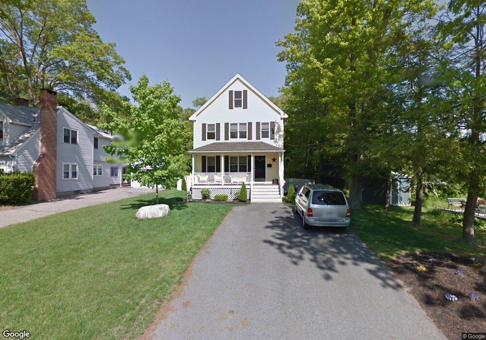
15 Beal Ave Whitman, MA 02382
Estimated Value: $601,000 - $681,000
3
Beds
3
Baths
2,006
Sq Ft
$322/Sq Ft
Est. Value
About This Home
This home is located at 15 Beal Ave, Whitman, MA 02382 and is currently estimated at $646,113, approximately $322 per square foot. 15 Beal Ave is a home located in Plymouth County with nearby schools including Trinity Catholic Academy and Cardinal Spellman High School.
Ownership History
Date
Name
Owned For
Owner Type
Purchase Details
Closed on
Jul 31, 2003
Sold by
Getchell Manus J and Clark Edward R
Bought by
Burr Jason T and Burr Kimberly A
Current Estimated Value
Home Financials for this Owner
Home Financials are based on the most recent Mortgage that was taken out on this home.
Original Mortgage
$150,000
Outstanding Balance
$64,416
Interest Rate
5.28%
Mortgage Type
Purchase Money Mortgage
Estimated Equity
$581,697
Purchase Details
Closed on
May 8, 2001
Sold by
Egan Stephen G
Bought by
Getchell Manus J and Clark Edward T
Create a Home Valuation Report for This Property
The Home Valuation Report is an in-depth analysis detailing your home's value as well as a comparison with similar homes in the area
Home Values in the Area
Average Home Value in this Area
Purchase History
| Date | Buyer | Sale Price | Title Company |
|---|---|---|---|
| Burr Jason T | $326,800 | -- | |
| Getchell Manus J | $90,000 | -- | |
| Egan Stephen G | $45,000 | -- |
Source: Public Records
Mortgage History
| Date | Status | Borrower | Loan Amount |
|---|---|---|---|
| Open | Egan Stephen G | $150,000 | |
| Previous Owner | Egan Stephen G | $30,000 |
Source: Public Records
Tax History
| Year | Tax Paid | Tax Assessment Tax Assessment Total Assessment is a certain percentage of the fair market value that is determined by local assessors to be the total taxable value of land and additions on the property. | Land | Improvement |
|---|---|---|---|---|
| 2025 | $7,135 | $543,800 | $217,000 | $326,800 |
| 2024 | $6,731 | $528,300 | $212,800 | $315,500 |
| 2023 | $6,299 | $464,200 | $184,500 | $279,700 |
| 2022 | $6,230 | $427,900 | $167,800 | $260,100 |
| 2021 | $6,061 | $391,000 | $154,100 | $236,900 |
| 2020 | $5,955 | $375,700 | $146,800 | $228,900 |
| 2019 | $5,717 | $371,700 | $146,800 | $224,900 |
| 2018 | $5,379 | $336,000 | $138,400 | $197,600 |
| 2017 | $5,067 | $336,000 | $138,400 | $197,600 |
| 2016 | $4,842 | $310,600 | $131,100 | $179,500 |
| 2015 | $4,602 | $294,800 | $115,300 | $179,500 |
Source: Public Records
Map
Nearby Homes
- 603 Temple St
- 90 Loring Ave
- 66 Belmont St
- 300 High St
- 262 Homeland Dr
- 360 High St
- 151 Windsor Dr
- 78 Linda St
- 42 Rock St
- 725 Auburn St
- 28 Linda St
- 1190 Bedford St Unit G3
- 14 Doris Dr
- 501 Auburn St Unit 508
- 48 Sullivan Terrace
- 118 Temple St
- 854 Brockton Ave
- 56-58 Vernon St
- 95 Temple St
- 877 Brockton Ave Unit 877
Your Personal Tour Guide
Ask me questions while you tour the home.