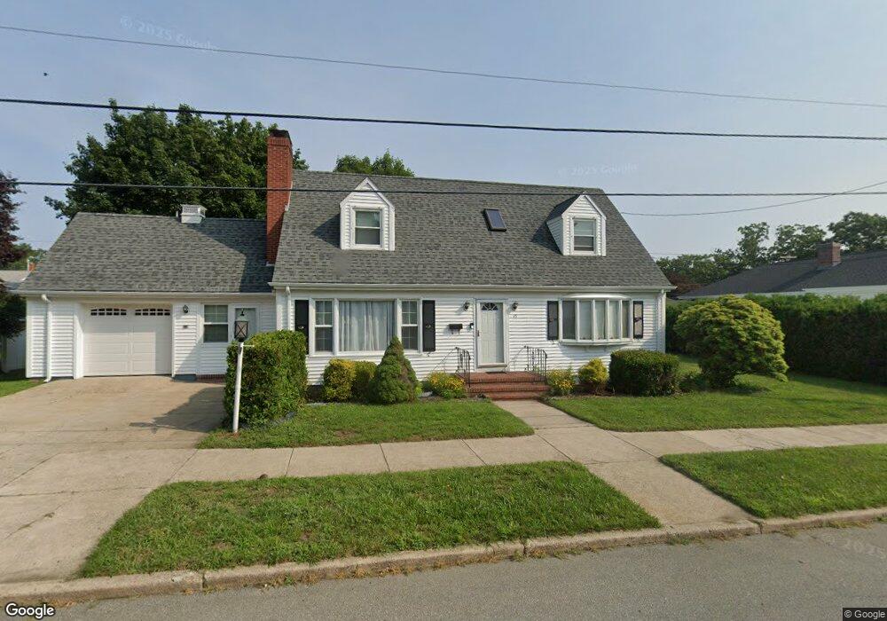
15 Berkley St New Bedford, MA 02740
Buttonwood Park NeighborhoodEstimated Value: $506,000 - $562,000
3
Beds
2
Baths
1,937
Sq Ft
$272/Sq Ft
Est. Value
About This Home
This home is located at 15 Berkley St, New Bedford, MA 02740 and is currently estimated at $527,075, approximately $272 per square foot. 15 Berkley St is a home located in Bristol County with nearby schools including Thomas R. Rodman Elementary School, Keith Middle School, and New Bedford High School.
Ownership History
Date
Name
Owned For
Owner Type
Purchase Details
Closed on
May 18, 2010
Sold by
Gardner Robert K and Gardner Marie S
Bought by
Thomas Cisly
Current Estimated Value
Home Financials for this Owner
Home Financials are based on the most recent Mortgage that was taken out on this home.
Original Mortgage
$238,598
Interest Rate
5.11%
Mortgage Type
Purchase Money Mortgage
Create a Home Valuation Report for This Property
The Home Valuation Report is an in-depth analysis detailing your home's value as well as a comparison with similar homes in the area
Home Values in the Area
Average Home Value in this Area
Purchase History
| Date | Buyer | Sale Price | Title Company |
|---|---|---|---|
| Thomas Cisly | $243,000 | -- | |
| Thomas Cisly | $243,000 | -- |
Source: Public Records
Mortgage History
| Date | Status | Borrower | Loan Amount |
|---|---|---|---|
| Open | Thomas Cisly | $233,666 | |
| Closed | Thomas Cisly | $238,598 | |
| Previous Owner | Thomas Cisly | $150,000 |
Source: Public Records
Tax History Compared to Growth
Tax History
| Year | Tax Paid | Tax Assessment Tax Assessment Total Assessment is a certain percentage of the fair market value that is determined by local assessors to be the total taxable value of land and additions on the property. | Land | Improvement |
|---|---|---|---|---|
| 2025 | $5,087 | $449,800 | $119,400 | $330,400 |
| 2024 | $4,813 | $401,100 | $113,800 | $287,300 |
| 2023 | $4,891 | $342,300 | $101,900 | $240,400 |
| 2022 | $4,550 | $292,800 | $97,000 | $195,800 |
| 2021 | $4,459 | $286,000 | $97,000 | $189,000 |
| 2020 | $4,357 | $269,600 | $100,800 | $168,800 |
| 2019 | $4,220 | $256,200 | $102,600 | $153,600 |
| 2018 | $3,968 | $238,600 | $102,600 | $136,000 |
| 2017 | $3,853 | $225,200 | $102,600 | $122,600 |
| 2016 | $3,501 | $212,300 | $97,000 | $115,300 |
| 2015 | $3,332 | $211,800 | $100,800 | $111,000 |
| 2014 | $3,205 | $211,400 | $102,600 | $108,800 |
Source: Public Records
Map
Nearby Homes
- 317 Commonwealth Ave
- 0 Norfolk Ave Unit 73403282
- 0 Middlesex St
- 680 Rockdale Ave
- 388 Reed St
- ) Hapwell & Summit St
- 357 North St
- 370 Maple St
- 348 North St
- 245 Brownell St
- 605 Union St
- 330 Maple St
- 122 Armour St
- 15-17 Lindsey St
- 240-242 Rounds St
- 511 Bedford St
- 69 Newton St
- 160 Hapwell St
- 55-57 Ocean St
- 224 Court St Unit 2
- 16 Longwood Ave
- 27 Berkley St
- 401 Brownell Ave
- 16 Berkley St
- 28 Longwood Ave
- 250 Commonwealth Ave
- 23 Longwood Ave
- 19 Clarendon St
- 29 Longwood Ave
- 379 Brownell Ave
- 1 Longwood Ave
- 27 Clarendon St
- 37 Berkley St
- 34 Longwood Ave
- 28 Huntington Ave
- 429 Brownell Ave
- 37 Longwood Ave
- 247 Commonwealth Ave
- 367 Brownell Ave
- 18 Clarendon St