15 Berryfield Ln New Gloucester, ME 04260
Estimated Value: $447,000 - $605,000
3
Beds
3
Baths
896
Sq Ft
$611/Sq Ft
Est. Value
About This Home
This home is located at 15 Berryfield Ln, New Gloucester, ME 04260 and is currently estimated at $547,898, approximately $611 per square foot. 15 Berryfield Ln is a home located in Cumberland County with nearby schools including Gray-New Gloucester High School.
Ownership History
Date
Name
Owned For
Owner Type
Purchase Details
Closed on
Jan 22, 2021
Sold by
Schlisner Trevor and Schlisner Amanda
Bought by
Adler Jessamy M and Adler Paul S
Current Estimated Value
Home Financials for this Owner
Home Financials are based on the most recent Mortgage that was taken out on this home.
Original Mortgage
$405,650
Outstanding Balance
$360,382
Interest Rate
2.71%
Mortgage Type
Purchase Money Mortgage
Estimated Equity
$187,516
Create a Home Valuation Report for This Property
The Home Valuation Report is an in-depth analysis detailing your home's value as well as a comparison with similar homes in the area
Home Values in the Area
Average Home Value in this Area
Purchase History
| Date | Buyer | Sale Price | Title Company |
|---|---|---|---|
| Adler Jessamy M | -- | None Available |
Source: Public Records
Mortgage History
| Date | Status | Borrower | Loan Amount |
|---|---|---|---|
| Open | Adler Jessamy M | $405,650 |
Source: Public Records
Tax History Compared to Growth
Tax History
| Year | Tax Paid | Tax Assessment Tax Assessment Total Assessment is a certain percentage of the fair market value that is determined by local assessors to be the total taxable value of land and additions on the property. | Land | Improvement |
|---|---|---|---|---|
| 2025 | $4,585 | $296,398 | $92,151 | $204,247 |
| 2024 | $4,413 | $296,398 | $92,151 | $204,247 |
| 2023 | $4,236 | $296,398 | $92,151 | $204,247 |
| 2022 | $4,090 | $296,398 | $92,151 | $204,247 |
| 2021 | $4,090 | $296,398 | $92,151 | $204,247 |
| 2020 | $4,046 | $296,398 | $92,151 | $204,247 |
| 2019 | $4,176 | $247,100 | $72,600 | $174,500 |
| 2018 | $3,904 | $247,100 | $72,600 | $174,500 |
| 2017 | $3,855 | $247,100 | $72,600 | $174,500 |
| 2016 | $891 | $60,600 | $60,600 | $0 |
| 2015 | $888 | $60,600 | $60,600 | $0 |
| 2014 | $879 | $60,600 | $60,600 | $0 |
| 2013 | $815 | $60,600 | $60,600 | $0 |
Source: Public Records
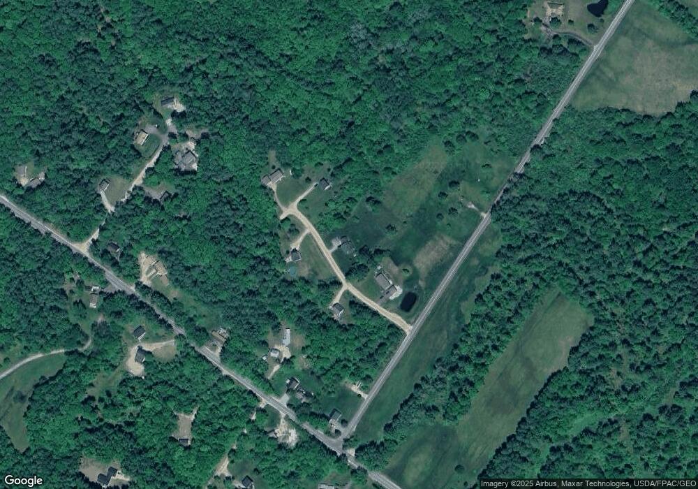
Map
Nearby Homes
- 155 & 151 Gloucester Hill Rd
- 0018-C Gloucester Hill Rd
- 160 Gloucester Hill Rd
- 29 Rockwood Dr
- 10 Cobbs Bridge Rd
- 0 Mayall
- 22 Shaw Rd
- 200 Woodman Rd
- TBD Targett Rd
- 244 Allen Rd
- 284 Allen Rd
- 271 Bennett Rd
- 026-01 Dow Ln
- 890 Elmwood Rd
- 164 Intervale Rd
- 27 Callaway Dr Unit 27B
- 17 Callaway Dr Unit 17
- 1 Colley Hill Rd
- 24 Swamp Rd
- 79 Birchwood Terrace