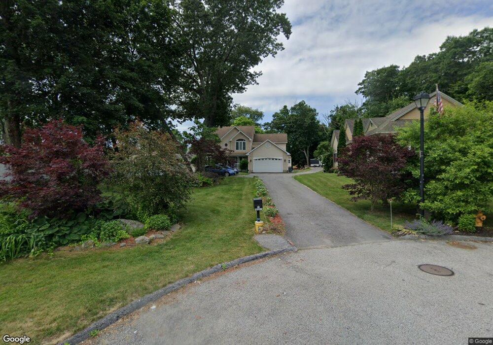
15 Beverly Cove Worcester, MA 01604
Broadmeadow Brook NeighborhoodEstimated Value: $626,000 - $814,000
4
Beds
3
Baths
2,626
Sq Ft
$266/Sq Ft
Est. Value
About This Home
This home is located at 15 Beverly Cove, Worcester, MA 01604 and is currently estimated at $697,807, approximately $265 per square foot. 15 Beverly Cove is a home located in Worcester County with nearby schools including Roosevelt Elementary School, Jacob Hiatt Magnet School, and Chandler Magnet.
Ownership History
Date
Name
Owned For
Owner Type
Purchase Details
Closed on
Apr 3, 2006
Sold by
97 Coburn Rlty Llc
Bought by
Barrett Lon-Leighton and Barrett Pamela J
Current Estimated Value
Create a Home Valuation Report for This Property
The Home Valuation Report is an in-depth analysis detailing your home's value as well as a comparison with similar homes in the area
Home Values in the Area
Average Home Value in this Area
Purchase History
| Date | Buyer | Sale Price | Title Company |
|---|---|---|---|
| Barrett Lon-Leighton | $10,000 | -- |
Source: Public Records
Tax History
| Year | Tax Paid | Tax Assessment Tax Assessment Total Assessment is a certain percentage of the fair market value that is determined by local assessors to be the total taxable value of land and additions on the property. | Land | Improvement |
|---|---|---|---|---|
| 2025 | $8,332 | $631,700 | $119,200 | $512,500 |
| 2024 | $8,184 | $595,200 | $119,200 | $476,000 |
| 2023 | $8,075 | $563,100 | $103,600 | $459,500 |
| 2022 | $7,620 | $501,000 | $82,900 | $418,100 |
| 2021 | $7,259 | $445,900 | $66,300 | $379,600 |
| 2020 | $7,040 | $414,100 | $66,300 | $347,800 |
| 2019 | $7,070 | $392,800 | $59,900 | $332,900 |
| 2018 | $6,963 | $368,200 | $59,900 | $308,300 |
| 2017 | $6,773 | $352,400 | $59,900 | $292,500 |
| 2016 | $6,941 | $336,800 | $45,000 | $291,800 |
| 2015 | $6,760 | $336,800 | $45,000 | $291,800 |
| 2014 | $6,581 | $336,800 | $45,000 | $291,800 |
Source: Public Records
Map
Nearby Homes
- 6 Nathaniel St
- 7 Clarissa St
- 1195 Grafton St Unit 29
- 1195 Grafton St Unit 19
- 1195 Grafton St Unit 39
- 12 Bruce St
- 1459 Grafton Rd
- 9 Marissa Cir
- 11 Maplewood Rd
- 340 Sunderland Rd Unit 28
- 330 Sunderland Rd Unit 80
- 12 Irene Ct
- 2 Salisbury St
- 47 Pointe Rok Dr Unit 47,G
- 266 Massasoit Rd
- 3 Julien Ave
- 25 Stoneham Rd
- 2 Diane St
- 23 Bay View Dr
- 259 Massasoit Rd
- 14 Beverly Cove
- 18 Saybrook Rd
- 14 Saybrook Rd
- 20 Saybrook Rd
- 12 Saybrook Rd
- 13 Beverly Cove
- 24 Saybrook Rd
- 12 Beverly Cove
- 11 Beverly Cove
- 10 Beverly Cove
- 4 Saybrook Rd
- 15 Saybrook Rd
- 9 Beverly Cove
- 8 Beverly Cove
- 8 Beverly Cove Unit 8
- 30 Saybrook Rd
- 13 Saybrook Rd
- 19 Saybrook Rd
- 7 Beverly Cove Unit 1
- 7 Beverly Cove
Your Personal Tour Guide
Ask me questions while you tour the home.