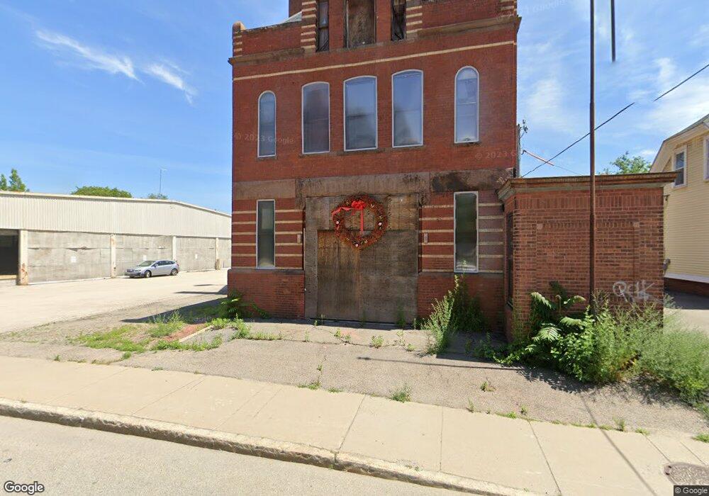
15 Blackstone River Rd Worcester, MA 01607
North Quinsigamond Village NeighborhoodEstimated Value: $236,210
Studio
3
Baths
4,160
Sq Ft
$57/Sq Ft
Est. Value
About This Home
This home is located at 15 Blackstone River Rd, Worcester, MA 01607 and is currently estimated at $236,210, approximately $56 per square foot. 15 Blackstone River Rd is a home located in Worcester County with nearby schools including Quinsigamond School, Jacob Hiatt Magnet School, and Chandler Magnet.
Ownership History
Date
Name
Owned For
Owner Type
Purchase Details
Closed on
Feb 21, 2017
Sold by
Capstone Rt
Bought by
Firehouse Quinsigamond
Current Estimated Value
Purchase Details
Closed on
Jul 26, 2013
Sold by
Jablonski Sally E
Bought by
Capstone Rt
Home Financials for this Owner
Home Financials are based on the most recent Mortgage that was taken out on this home.
Original Mortgage
$75,000
Interest Rate
3.97%
Mortgage Type
Commercial
Purchase Details
Closed on
Aug 29, 2003
Sold by
Ruksnaitis William F
Bought by
Jablonski-Ruksnaitis S
Create a Home Valuation Report for This Property
The Home Valuation Report is an in-depth analysis detailing your home's value as well as a comparison with similar homes in the area
Home Values in the Area
Average Home Value in this Area
Purchase History
| Date | Buyer | Sale Price | Title Company |
|---|---|---|---|
| Firehouse Quinsigamond | $125,000 | -- | |
| Capstone Rt | -- | -- | |
| Jablonski-Ruksnaitis S | $100,000 | -- |
Source: Public Records
Mortgage History
| Date | Status | Borrower | Loan Amount |
|---|---|---|---|
| Previous Owner | Capstone Rt | $75,000 |
Source: Public Records
Tax History
| Year | Tax Paid | Tax Assessment Tax Assessment Total Assessment is a certain percentage of the fair market value that is determined by local assessors to be the total taxable value of land and additions on the property. | Land | Improvement |
|---|---|---|---|---|
| 2025 | $0 | $212,400 | $133,000 | $79,400 |
| 2024 | $0 | $206,400 | $133,000 | $73,400 |
| 2023 | $0 | $183,000 | $115,700 | $67,300 |
| 2022 | $0 | $159,800 | $92,500 | $67,300 |
| 2021 | $0 | $144,800 | $74,000 | $70,800 |
| 2020 | $4,107 | $116,800 | $104,400 | $12,400 |
| 2019 | $3,982 | $114,100 | $101,700 | $12,400 |
| 2018 | $3,873 | $113,800 | $101,700 | $12,100 |
| 2017 | $3,747 | $113,800 | $101,700 | $12,100 |
| 2016 | $3,510 | $103,300 | $89,600 | $13,700 |
| 2015 | $3,278 | $103,300 | $89,600 | $13,700 |
| 2014 | $3,749 | $121,600 | $80,600 | $41,000 |
Source: Public Records
Map
Nearby Homes
- 19 Blackstone River Rd
- 25 Blackstone River Rd
- 23 Blackstone River Rd
- 23 Blackstone River Rd Unit 2
- 20 Blackstone River Rd
- 20 Blackstone River Rd Unit 3
- 26 Blackstone River Rd Unit 28
- 29 Blackstone River Rd
- 3 Falmouth St
- 34 Blackstone River Rd Unit 7
- 34 Blackstone River Rd Unit 8
- 34 Blackstone River Rd Unit 13
- 34 Blackstone River Rd
- 9.5 Falmouth
- 9.5 Falmouth
- 5A Falmouth St
- 35 Blackstone River Rd
- 5 1/2 Falmouth St
- 5 Falmouth St
- 5-5.5 Falmouth
Your Personal Tour Guide
Ask me questions while you tour the home.