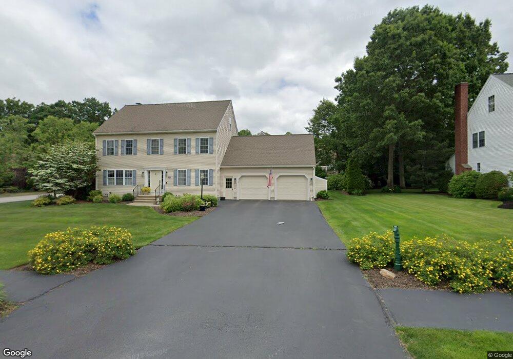
15 Blackthorn Dr Worcester, MA 01609
Forest Grove NeighborhoodEstimated Value: $623,000 - $745,000
3
Beds
3
Baths
1,936
Sq Ft
$346/Sq Ft
Est. Value
About This Home
This home is located at 15 Blackthorn Dr, Worcester, MA 01609 and is currently estimated at $669,421, approximately $345 per square foot. 15 Blackthorn Dr is a home located in Worcester County with nearby schools including Chandler Magnet, Jacob Hiatt Magnet School, and Flagg Street School.
Ownership History
Date
Name
Owned For
Owner Type
Purchase Details
Closed on
Dec 21, 1999
Sold by
Hidden Farm Ests Inc
Bought by
Rousseau William J and Rousseau Anne Marie
Current Estimated Value
Create a Home Valuation Report for This Property
The Home Valuation Report is an in-depth analysis detailing your home's value as well as a comparison with similar homes in the area
Home Values in the Area
Average Home Value in this Area
Purchase History
| Date | Buyer | Sale Price | Title Company |
|---|---|---|---|
| Rousseau William J | $257,671 | -- |
Source: Public Records
Mortgage History
| Date | Status | Borrower | Loan Amount |
|---|---|---|---|
| Open | Rousseau William J | $243,000 | |
| Closed | Rousseau William J | $258,000 | |
| Closed | Rousseau William J | $232,000 | |
| Closed | Rousseau William J | $232,000 |
Source: Public Records
Tax History Compared to Growth
Tax History
| Year | Tax Paid | Tax Assessment Tax Assessment Total Assessment is a certain percentage of the fair market value that is determined by local assessors to be the total taxable value of land and additions on the property. | Land | Improvement |
|---|---|---|---|---|
| 2025 | $6,987 | $529,700 | $123,900 | $405,800 |
| 2024 | $6,879 | $500,300 | $123,900 | $376,400 |
| 2023 | $6,622 | $461,800 | $106,700 | $355,100 |
| 2022 | $6,146 | $404,100 | $85,300 | $318,800 |
| 2021 | $6,074 | $373,100 | $68,300 | $304,800 |
| 2020 | $5,862 | $344,800 | $68,100 | $276,700 |
| 2019 | $5,954 | $330,800 | $65,800 | $265,000 |
| 2018 | $5,896 | $311,800 | $65,800 | $246,000 |
| 2017 | $5,637 | $293,300 | $65,800 | $227,500 |
| 2016 | $5,806 | $281,700 | $54,700 | $227,000 |
| 2015 | $5,654 | $281,700 | $54,700 | $227,000 |
| 2014 | $5,504 | $281,700 | $54,700 | $227,000 |
Source: Public Records
Map
Nearby Homes
- 49 Barry Rd
- 46 Barry Rd
- 61 Barry Rd
- 7 Dubiel Dr
- 4004 Brompton Cir
- 303 Greenwich Ct Unit 303
- 3901 Knightsbridge Close Unit 3901
- 770 Salisbury St Unit 201
- 90 Lynnwood Ln
- 12 Tattan Farm Rd
- 4 Barrows Rd
- 3 Lynnwood Ln
- 7 Otter Trail
- 97 Parkton Ave
- 617 Salisbury St
- 17 Leslie Rd
- 2 Baiting Brook Ln Unit 71
- 3 Old English Rd
- 25 Salisbury Hill Blvd Unit 56
- 25 Salisbury Hill Blvd Unit 64
- 17 Blackthorn Dr
- 3 Chestnut Hill Ln
- 18 Blackthorn Dr
- 11 Blackthorn Dr
- 16 Blackthorn Dr
- 20 Blackthorn Dr
- 5 Chestnut Hill Ln
- 3 Silver Spruce Cir
- 4 Chestnut Hill Ln
- 19 Blackthorn Dr
- 14 Blackthorn Dr
- 6 Chestnut Hill Ln
- 22 Blackthorn Dr
- 41 Barry Rd
- 45 Barry Rd
- 8 Chestnut Hill Ln
- 7 Chestnut Hill Ln
- 37 Barry Rd
- 9 Blackthorn Dr
- 24 Blackthorn Dr