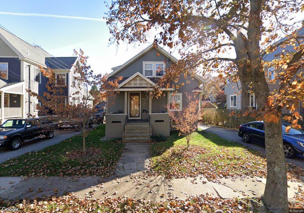
15 Boardman Ave Melrose, MA 02176
Horace Mann NeighborhoodEstimated Value: $693,000 - $880,000
2
Beds
1
Bath
1,403
Sq Ft
$566/Sq Ft
Est. Value
About This Home
This home is located at 15 Boardman Ave, Melrose, MA 02176 and is currently estimated at $794,626, approximately $566 per square foot. 15 Boardman Ave is a home located in Middlesex County with nearby schools including Horace Mann Elementary School, Roosevelt Elementary School, and Winthrop Elementary School.
Ownership History
Date
Name
Owned For
Owner Type
Purchase Details
Closed on
Sep 21, 2009
Sold by
Poirier Lawrence W
Bought by
Mcdermott Thomas and Mcdermott Carolyn
Current Estimated Value
Home Financials for this Owner
Home Financials are based on the most recent Mortgage that was taken out on this home.
Original Mortgage
$225,000
Outstanding Balance
$147,820
Interest Rate
5.28%
Mortgage Type
Purchase Money Mortgage
Estimated Equity
$646,806
Create a Home Valuation Report for This Property
The Home Valuation Report is an in-depth analysis detailing your home's value as well as a comparison with similar homes in the area
Home Values in the Area
Average Home Value in this Area
Purchase History
| Date | Buyer | Sale Price | Title Company |
|---|---|---|---|
| Mcdermott Thomas | $225,000 | -- |
Source: Public Records
Mortgage History
| Date | Status | Borrower | Loan Amount |
|---|---|---|---|
| Open | Mcdermott Thomas | $225,000 |
Source: Public Records
Tax History
| Year | Tax Paid | Tax Assessment Tax Assessment Total Assessment is a certain percentage of the fair market value that is determined by local assessors to be the total taxable value of land and additions on the property. | Land | Improvement |
|---|---|---|---|---|
| 2025 | $68 | $683,900 | $488,400 | $195,500 |
| 2024 | $6,598 | $664,500 | $474,400 | $190,100 |
| 2023 | $6,582 | $631,700 | $460,500 | $171,200 |
| 2022 | $6,234 | $589,800 | $418,600 | $171,200 |
| 2021 | $5,992 | $547,200 | $390,700 | $156,500 |
| 2020 | $6,049 | $547,400 | $390,700 | $156,700 |
| 2019 | $5,349 | $494,800 | $348,800 | $146,000 |
| 2018 | $4,977 | $439,300 | $300,000 | $139,300 |
| 2017 | $4,937 | $418,400 | $279,100 | $139,300 |
| 2016 | $4,910 | $398,200 | $279,100 | $119,100 |
| 2015 | $4,979 | $384,200 | $265,100 | $119,100 |
| 2014 | $4,732 | $356,300 | $237,200 | $119,100 |
Source: Public Records
Map
Nearby Homes
- 98 Boardman Ave
- 38 Morgan Ave
- 34-36 W Highland Ave
- 60 Franklin St Unit 60
- 7 West St
- 38 Cranmore Ln
- 180 Green St Unit 101
- 24 Mount Zion Rd
- 51 Melrose St Unit 1C
- 51 Melrose St Unit 1A
- 24 Ellsworth Ave
- 12 Linden Rd Unit 12
- 49 Melrose St Unit 1F
- 43-51 Albion St Unit C9
- 601 Franklin St Unit 2
- 129 Greenwood St
- 768 Lynn Fells Pkwy
- 155 Bellevue Ave
- 62 Golden Hills Rd
- 833 Franklin St
Your Personal Tour Guide
Ask me questions while you tour the home.