Estimated Value: $238,693 - $314,000
3
Beds
2
Baths
1,426
Sq Ft
$196/Sq Ft
Est. Value
About This Home
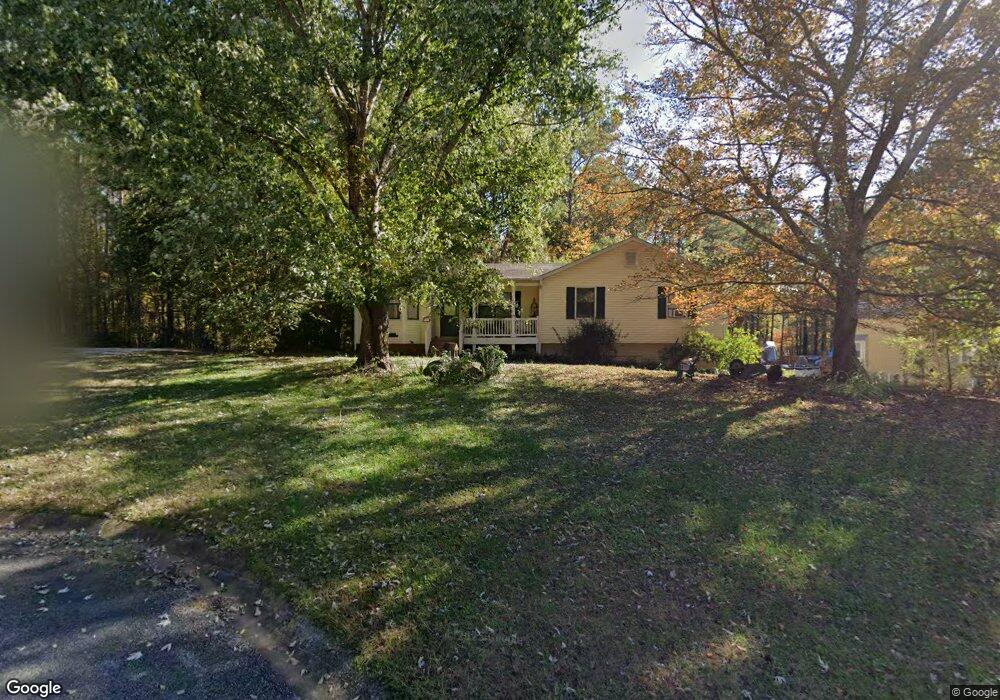
This home is located at 15 Bonds Ct Unit 2, Hiram, GA 30141 and is currently estimated at $279,673, approximately $196 per square foot. 15 Bonds Ct Unit 2 is a home located in Paulding County with nearby schools including Sam D. Panter Elementary School, J. A. Dobbins Middle School, and Hiram High School.
Ownership History
Date
Name
Owned For
Owner Type
Purchase Details
Closed on
Jul 31, 2002
Sold by
Brott Dale E and Brott Priscilla K
Bought by
Mcentyre Mildred H and Mcentyre Milton D
Current Estimated Value
Home Financials for this Owner
Home Financials are based on the most recent Mortgage that was taken out on this home.
Original Mortgage
$92,300
Interest Rate
9.38%
Mortgage Type
New Conventional
Create a Home Valuation Report for This Property
The Home Valuation Report is an in-depth analysis detailing your home's value as well as a comparison with similar homes in the area
Home Values in the Area
Average Home Value in this Area
Purchase History
| Date | Buyer | Sale Price | Title Company |
|---|---|---|---|
| Mcentyre Mildred H | $102,600 | -- |
Source: Public Records
Mortgage History
| Date | Status | Borrower | Loan Amount |
|---|---|---|---|
| Previous Owner | Mcentyre Mildred H | $92,300 |
Source: Public Records
Tax History Compared to Growth
Tax History
| Year | Tax Paid | Tax Assessment Tax Assessment Total Assessment is a certain percentage of the fair market value that is determined by local assessors to be the total taxable value of land and additions on the property. | Land | Improvement |
|---|---|---|---|---|
| 2024 | $738 | $110,996 | $12,000 | $98,996 |
| 2023 | $1,874 | $117,052 | $12,000 | $105,052 |
| 2022 | $2,453 | $95,968 | $12,000 | $83,968 |
| 2021 | $2,109 | $74,444 | $8,000 | $66,444 |
| 2020 | $1,874 | $64,944 | $8,000 | $56,944 |
| 2019 | $1,917 | $65,480 | $8,000 | $57,480 |
| 2018 | $1,593 | $54,732 | $8,000 | $46,732 |
| 2017 | $1,473 | $50,088 | $8,000 | $42,088 |
| 2016 | $1,157 | $40,128 | $8,000 | $32,128 |
| 2015 | $983 | $33,792 | $8,000 | $25,792 |
| 2014 | $992 | $33,284 | $8,000 | $25,284 |
| 2013 | -- | $26,680 | $8,000 | $18,680 |
Source: Public Records
Map
Nearby Homes
- 74 Bonds Ct
- 261 Township Dr
- 7606 Nebo Rd
- 64 Cove Dr
- 7799 Nebo Rd
- 7012 Nebo Rd
- 8060 Nebo Rd
- 8060 Nevo Rd
- 149 Willow Bend Rd
- 133 Willow Bend Rd
- 149 Willow Bend Dr
- 133 Willow Bend Dr
- 2393 Bill Carruth Pkwy
- 6488 Nebo Rd
- 143 Birch St
- 3124 Hiram Sudie Rd
- 79 Kennedy Ct
- 552 Rich Davis Rd
- 98 Baywood Way
- 115 Ashley Pointe Dr
- 27 Bonds Ct
- 362 Township Dr
- 255 Cove Dr
- 47 Bonds Ct
- 258 Cove Dr
- 28 Bonds Ct
- 355 Township Dr
- 331 Township Dr
- 120 Forest Dr
- 258 Cove Rd
- 367 Township Dr
- 325 Township Dr
- 288 Township Dr
- 249 Cove Dr
- 126 Forest Dr
- 68 Bonds Ct
- 116 Forest Dr
- 0 Monarch Way Dynasty Ln Lanier Ct Unit 7044041
- 291 Township Dr
- 256 Cove Dr